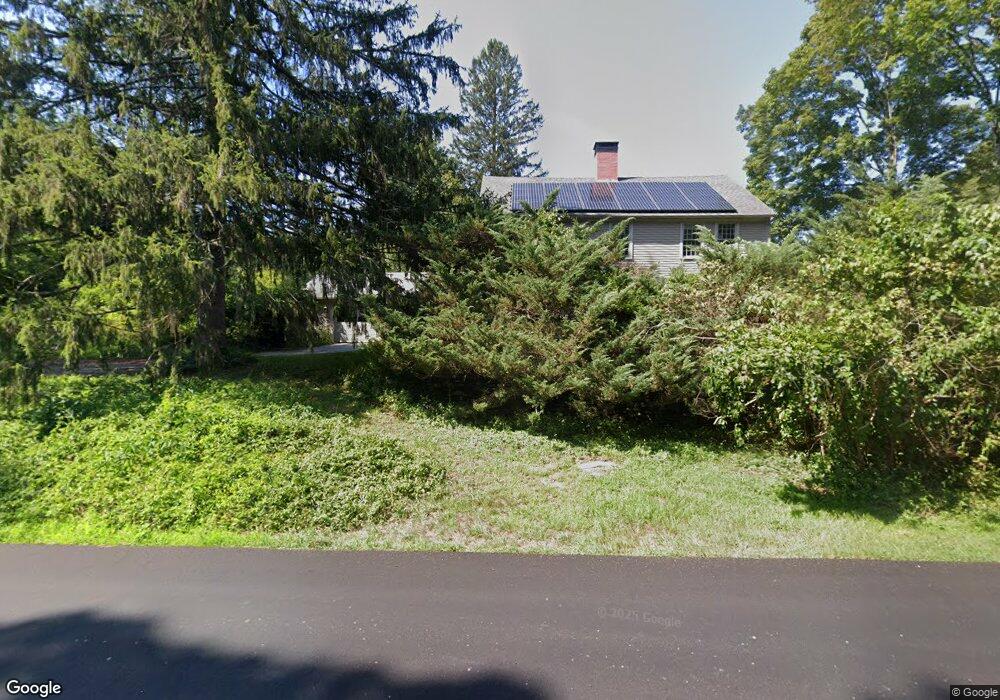
631 Pomfret Rd Hampton, CT 06247
Estimated Value: $374,000 - $1,004,000
3
Beds
3
Baths
2,603
Sq Ft
$220/Sq Ft
Est. Value
About This Home
This home is located at 631 Pomfret Rd, Hampton, CT 06247 and is currently estimated at $571,481, approximately $219 per square foot. 631 Pomfret Rd is a home located in Windham County with nearby schools including Hampton Elementary School and Parish Hill High School.
Ownership History
Date
Name
Owned For
Owner Type
Purchase Details
Closed on
Mar 5, 1996
Sold by
Utley William T and Utley Beatrice
Bought by
Crist Constance D and Sokoloski John A
Current Estimated Value
Home Financials for this Owner
Home Financials are based on the most recent Mortgage that was taken out on this home.
Original Mortgage
$200,000
Interest Rate
4.5%
Mortgage Type
Purchase Money Mortgage
Create a Home Valuation Report for This Property
The Home Valuation Report is an in-depth analysis detailing your home's value as well as a comparison with similar homes in the area
Home Values in the Area
Average Home Value in this Area
Purchase History
| Date | Buyer | Sale Price | Title Company |
|---|---|---|---|
| Crist Constance D | $316,000 | -- | |
| Crist Constance D | $316,000 | -- |
Source: Public Records
Mortgage History
| Date | Status | Borrower | Loan Amount |
|---|---|---|---|
| Closed | Crist Constance D | $60,000 | |
| Closed | Crist Constance D | $200,000 | |
| Previous Owner | Crist Constance D | $249,500 |
Source: Public Records
Tax History
| Year | Tax Paid | Tax Assessment Tax Assessment Total Assessment is a certain percentage of the fair market value that is determined by local assessors to be the total taxable value of land and additions on the property. | Land | Improvement |
|---|---|---|---|---|
| 2025 | $5,155 | $240,000 | $35,020 | $204,980 |
| 2024 | $4,999 | $240,000 | $35,020 | $204,980 |
| 2023 | $4,078 | $168,220 | $30,610 | $137,610 |
| 2022 | $3,783 | $168,220 | $30,610 | $137,610 |
| 2021 | $3,999 | $168,220 | $30,610 | $137,610 |
| 2020 | $4,290 | $168,220 | $30,610 | $137,610 |
| 2019 | $4,343 | $168,220 | $30,610 | $137,610 |
| 2018 | $4,081 | $148,560 | $26,300 | $122,260 |
| 2017 | $4,211 | $147,770 | $26,300 | $121,470 |
| 2016 | $4,211 | $147,770 | $26,300 | $121,470 |
Source: Public Records
Map
Nearby Homes
- 338 Main St
- 127 Windy Hill Rd
- 297 Main St
- 198 Main St
- 933 Hampton Rd
- 366 Hartford Turnpike
- 338 Brooklyn Rd
- 204 Paine Rd
- 180 Jericho Rd
- 834 Hampton Rd
- 385 Hampton Rd
- 815 Mashamoquet Rd
- 310 S Bigelow Rd
- 137 Windham Rd
- 193 Phoenixville Rd
- 349 S Bigelow Rd
- 771 Brook Rd
- 769 Brook Rd
- 101 Reilly Rd
- 99 Reilly Rd
- 6 Hemlock Glen Rd
- 621 Pomfret Rd
- 653 Pomfret Rd
- 16 Hemlock Glen Rd
- 658 Pomfret Rd
- 4 Pomfret Rd
- 4-1&4-2 Pomfret Rd
- 24 Hemlock Glen Rd
- 612 Pomfret Rd
- 24 Old Kings Hwy
- 46 Old Kings Hwy
- 34 Old Kings Hwy
- 94 Kenyon Rd
- 54 Old Kings Hwy
- 33 Old Kings Hwy
- 72 Kenyon Rd
- 49 Old Kings Hwy
- 58 Old Kings Hwy
- 79B Kenyon Rd
Your Personal Tour Guide
Ask me questions while you tour the home.