631 Rainmore Dr Dahlonega, GA 30533
Estimated Value: $300,354 - $514,000
--
Bed
2
Baths
1,798
Sq Ft
$208/Sq Ft
Est. Value
About This Home
This home is located at 631 Rainmore Dr, Dahlonega, GA 30533 and is currently estimated at $373,339, approximately $207 per square foot. 631 Rainmore Dr is a home located in Lumpkin County with nearby schools including Clay County Middle School and Lumpkin County High School.
Ownership History
Date
Name
Owned For
Owner Type
Purchase Details
Closed on
Nov 11, 2014
Sold by
Woods Leigh M
Bought by
Woods Leigh Munday
Current Estimated Value
Purchase Details
Closed on
Dec 13, 2013
Sold by
Shertenlieb William
Bought by
Shertenlieb Susan
Home Financials for this Owner
Home Financials are based on the most recent Mortgage that was taken out on this home.
Original Mortgage
$88,000
Interest Rate
4.38%
Mortgage Type
New Conventional
Purchase Details
Closed on
Dec 10, 2013
Sold by
Shertenlieb Susan
Bought by
Woods Leigh Munday
Home Financials for this Owner
Home Financials are based on the most recent Mortgage that was taken out on this home.
Original Mortgage
$88,000
Interest Rate
4.38%
Mortgage Type
New Conventional
Purchase Details
Closed on
Jul 17, 1995
Sold by
Munday Amy W
Bought by
Shertenlieb William
Purchase Details
Closed on
Feb 2, 1992
Bought by
Munday Amy W
Create a Home Valuation Report for This Property
The Home Valuation Report is an in-depth analysis detailing your home's value as well as a comparison with similar homes in the area
Home Values in the Area
Average Home Value in this Area
Purchase History
| Date | Buyer | Sale Price | Title Company |
|---|---|---|---|
| Woods Leigh Munday | -- | -- | |
| Shertenlieb Susan | -- | -- | |
| Woods Leigh Munday | $110,000 | -- | |
| Shertenlieb William | $81,400 | -- | |
| Munday Amy W | -- | -- |
Source: Public Records
Mortgage History
| Date | Status | Borrower | Loan Amount |
|---|---|---|---|
| Previous Owner | Shertenlieb Susan | $88,000 | |
| Previous Owner | Woods Leigh Munday | $88,000 |
Source: Public Records
Tax History Compared to Growth
Tax History
| Year | Tax Paid | Tax Assessment Tax Assessment Total Assessment is a certain percentage of the fair market value that is determined by local assessors to be the total taxable value of land and additions on the property. | Land | Improvement |
|---|---|---|---|---|
| 2024 | $2,141 | $94,131 | $8,003 | $86,128 |
| 2023 | $1,624 | $88,592 | $8,003 | $80,589 |
| 2022 | $1,961 | $81,205 | $6,671 | $74,534 |
| 2021 | $1,718 | $69,095 | $6,671 | $62,424 |
| 2020 | $1,719 | $67,160 | $6,392 | $60,768 |
| 2019 | $1,735 | $67,160 | $6,392 | $60,768 |
| 2018 | $1,644 | $59,944 | $6,392 | $53,552 |
| 2017 | $1,641 | $58,713 | $6,392 | $52,321 |
| 2016 | $1,499 | $52,116 | $6,392 | $45,724 |
| 2015 | $1,107 | $52,116 | $6,392 | $45,724 |
| 2014 | $1,107 | $52,684 | $6,392 | $46,292 |
| 2013 | -- | $53,250 | $6,391 | $46,859 |
Source: Public Records
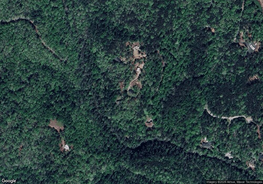
Map
Nearby Homes
- 103 Rainmore Dr
- 0 Rainmore Dr Unit 7620063
- 0 Rainmore Dr Unit 10570615
- 1044 Rider Rd
- 15 Baker St
- 221 Laurel Cir
- 0x Pink Williams Rd
- 0x Pink Williams Rd Unit 124AC
- 460 Morgan Ln
- 437 Morgan Ln
- 150 Buck Run E
- 194 Deerfield Dr
- 486 Laurel Cir
- 382 Candler Ln
- 239 Castleberry Ln
- 191 Sleepy Hollow Rd
- 174 Morgan Ln
- 136 Morgan Ln
- 114 Morgan Ln
- 358 Rainmore Dr
- 650 Rainmore Dr
- 509 Rainmore Dr
- 84 Riverhouse Dr
- 150 Rainmore Dr
- 877 Pink Williams Rd
- 106 Rainmore Dr
- 191 Rainmore Dr
- 145 Rainmore Dr
- 0 Riverhouse Dr Unit 2811519
- 205 Rainmore Dr
- 202 Riverhouse Dr
- 206 Riverhouse Dr
- 426 Yellow Bluff Rd
- 360 Yellow Bluff Rd
- 360 Yellowbluff Rd
- 478 Yellow Bluff Rd
- 0 Rainmore Dr
- 0 Rainmore Dr Unit 7481013
- 0 Rainmore Dr Unit 7269173