631 Rocktree Rd Dahlonega, GA 30533
Estimated Value: $455,644 - $538,000
--
Bed
3
Baths
2,475
Sq Ft
$199/Sq Ft
Est. Value
About This Home
This home is located at 631 Rocktree Rd, Dahlonega, GA 30533 and is currently estimated at $492,881, approximately $199 per square foot. 631 Rocktree Rd is a home located in Lumpkin County with nearby schools including Clay County Middle School and Lumpkin County High School.
Ownership History
Date
Name
Owned For
Owner Type
Purchase Details
Closed on
Oct 22, 2001
Sold by
Homes By Brumby At Princeton S
Bought by
Spivey Donald E and Spivey Sherry L
Current Estimated Value
Purchase Details
Closed on
Apr 27, 2001
Sold by
Couch Grading
Bought by
Homes By Brumby At Princeton Square
Purchase Details
Closed on
Dec 17, 1999
Sold by
Couch Edward
Bought by
Couch Grading
Purchase Details
Closed on
Nov 17, 1993
Sold by
Lynch Peter M
Bought by
Couch Edward
Purchase Details
Closed on
Dec 13, 1990
Bought by
Lynch Peter M
Create a Home Valuation Report for This Property
The Home Valuation Report is an in-depth analysis detailing your home's value as well as a comparison with similar homes in the area
Home Values in the Area
Average Home Value in this Area
Purchase History
| Date | Buyer | Sale Price | Title Company |
|---|---|---|---|
| Spivey Donald E | $180,000 | -- | |
| Homes By Brumby At Princeton Square | $57,800 | -- | |
| Couch Grading | $50,000 | -- | |
| Couch Edward | $26,600 | -- | |
| Lynch Peter M | -- | -- |
Source: Public Records
Tax History Compared to Growth
Tax History
| Year | Tax Paid | Tax Assessment Tax Assessment Total Assessment is a certain percentage of the fair market value that is determined by local assessors to be the total taxable value of land and additions on the property. | Land | Improvement |
|---|---|---|---|---|
| 2024 | $3,299 | $139,893 | $35,838 | $104,055 |
| 2023 | $2,593 | $129,786 | $31,965 | $97,821 |
| 2022 | $2,749 | $113,046 | $26,638 | $86,408 |
| 2021 | $2,520 | $100,426 | $26,638 | $73,788 |
| 2020 | $2,521 | $97,561 | $25,525 | $72,036 |
| 2017 | $2,446 | $86,553 | $25,525 | $61,028 |
| 2016 | $2,315 | $79,410 | $25,525 | $53,885 |
Source: Public Records
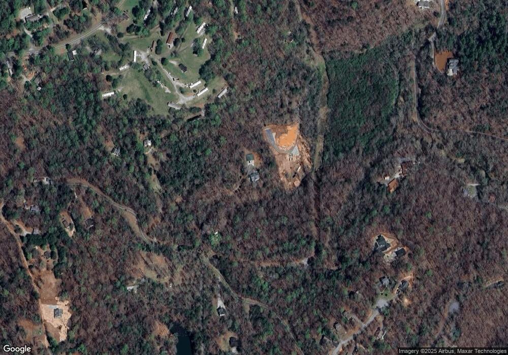
Map
Nearby Homes
- 496 Beaver Dam Rd
- 03 Kate Rd
- 0 Porter Springs Rd Unit 7685063
- 0 Porter Springs Rd Unit 10648400
- 165 Porter Springs Rd
- 372 Porter Springs Rd
- 1323 Cavender Creek Rd
- 83 Austin Ct
- 302 Pointe Cir
- 0 Arborwood Dr Unit 10645890
- 0 Bearden Rd Unit 10598024
- 0 Bearden Rd Unit 7642996
- 300 Mountain Ridge Dr
- 7.123 Acres Halls Mill Rd
- 0 Winters Mountain Rd Unit 7681054
- 0 Winters Mountain Rd Unit 10643431
- 202 Indian Trail
- 00 LOT C Cavender Creek Rd
- 85 Summit Canyon Rd Unit H102
- 34 Great Works Dr
- 287 Archer Way
- 665 Rocktree Rd
- 0 Spring Valley Trace
- 0 Spring Valley Trace Unit 7007211
- 0 Spring Valley Trace Unit 3197575
- 0 Spring Valley Trace Unit 3089616
- 0 Spring Valley Trace Unit 9018671
- 0 Spring Valley Trace Unit 3131566
- 0 Spring Valley Trace Unit 8297718
- 0 Spring Valley Trace Unit 1.39AC 8465079
- 607 Rocktree Rd
- 675 Rocktree Rd
- 704 Rocktree Rd
- 112 Archer Way
- 603 Rocktree Rd
- 100 Meadowbrook Cir
- 115 Rocktree Overlook
- 91 Rocktree Overlook
- 91 Rocktree Overlook
- 200 Beaver Dam Rd