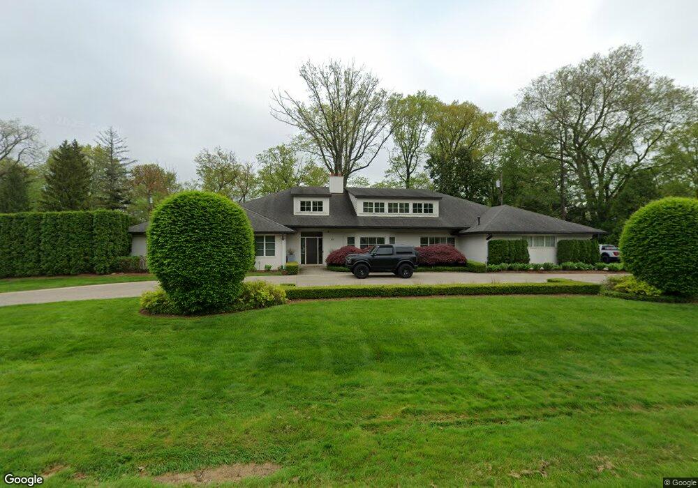
631 Rudgate Rd Bloomfield Hills, MI 48304
Estimated Value: $1,783,000 - $1,950,000
3
Beds
5
Baths
5,240
Sq Ft
$359/Sq Ft
Est. Value
About This Home
This home is located at 631 Rudgate Rd, Bloomfield Hills, MI 48304 and is currently estimated at $1,880,481, approximately $358 per square foot. 631 Rudgate Rd is a home located in Oakland County with nearby schools including Way Elementary School, South Hills Middle School, and Bloomfield Hills High School.
Ownership History
Date
Name
Owned For
Owner Type
Purchase Details
Closed on
Mar 17, 2003
Sold by
Liebgott Frank J and Liebgott Cheryl A
Bought by
Coburn Nicholas S and Coburn Kari Beth
Current Estimated Value
Purchase Details
Closed on
Nov 1, 2000
Sold by
Stevens Joseph
Bought by
Liebgott Frank J
Home Financials for this Owner
Home Financials are based on the most recent Mortgage that was taken out on this home.
Original Mortgage
$999,000
Interest Rate
7.7%
Create a Home Valuation Report for This Property
The Home Valuation Report is an in-depth analysis detailing your home's value as well as a comparison with similar homes in the area
Home Values in the Area
Average Home Value in this Area
Purchase History
| Date | Buyer | Sale Price | Title Company |
|---|---|---|---|
| Coburn Nicholas S | -- | Philip E Seaver Title Co | |
| Liebgott Frank J | $760,000 | -- |
Source: Public Records
Mortgage History
| Date | Status | Borrower | Loan Amount |
|---|---|---|---|
| Previous Owner | Liebgott Frank J | $999,000 |
Source: Public Records
Tax History Compared to Growth
Tax History
| Year | Tax Paid | Tax Assessment Tax Assessment Total Assessment is a certain percentage of the fair market value that is determined by local assessors to be the total taxable value of land and additions on the property. | Land | Improvement |
|---|---|---|---|---|
| 2024 | $12,539 | $770,590 | $0 | $0 |
| 2023 | $12,063 | $722,760 | $0 | $0 |
| 2022 | $13,947 | $712,020 | $0 | $0 |
| 2021 | $13,434 | $696,290 | $0 | $0 |
| 2020 | $11,015 | $663,470 | $0 | $0 |
| 2019 | $12,506 | $635,200 | $0 | $0 |
| 2018 | $12,540 | $609,640 | $0 | $0 |
| 2017 | $12,410 | $596,340 | $0 | $0 |
| 2016 | $10,904 | $536,640 | $0 | $0 |
| 2015 | -- | $512,730 | $0 | $0 |
| 2014 | -- | $447,410 | $0 | $0 |
| 2011 | -- | $288,760 | $0 | $0 |
Source: Public Records
Map
Nearby Homes
- 596 Rudgate Rd
- 692 Bennington Dr
- 270 Martell Dr
- 1348 Charrington Rd
- 1287 Charrington Rd
- 4650 Lahser Rd
- 931 Vaughan Rd
- 5825 Lahser Rd
- 3546 Bloomfield Club Dr
- 341 Keswick Rd
- 1019 N Cranbrook Rd
- 362 Keswick Rd
- 2579 Amberly Rd
- 275 Barden Rd
- 1260 Lyonhurst St
- 956 Westwood Dr
- 1120 Lyonhurst St
- 1027 Joanne Ct
- 60 Kingsley Manor Dr
- 3320 Morningview Terrace
- 232 Harlan Dr
- 260 Joyce Ct
- 634 Rudgate Rd
- 644 Rudgate Rd
- 240 Joyce Ct
- 235 Harlan Dr
- 632 Yarboro Dr
- 578 Rudgate Rd
- 583 Rudgate Rd
- 560 Haverhill Rd
- 654 Rudgate Rd
- 570 Haverhill Rd Unit Bldg-Unit
- 570 Haverhill Rd
- 657 Rudgate Rd
- 165 Harlan Dr
- 140 Harlan Dr
- 577 Rudgate Rd
- 626 Yarboro Dr
- 664 Rudgate Rd
- 580 Haverhill Rd