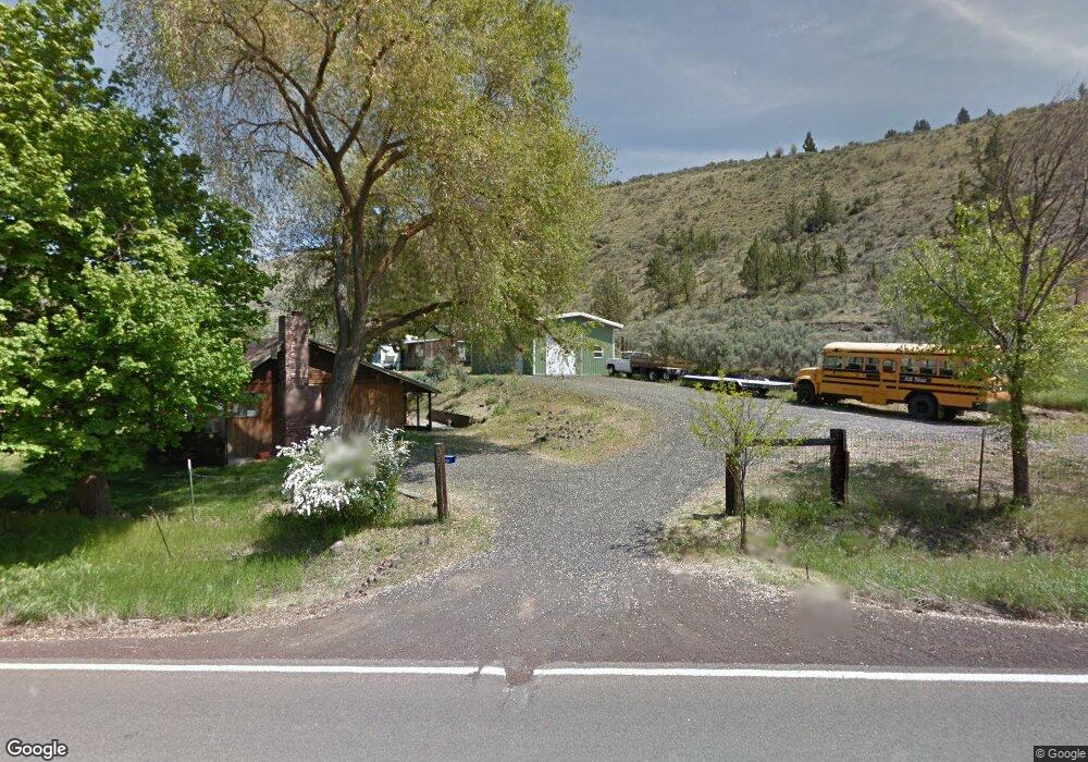
631 S Highway 197 Maupin, OR 97037
Estimated Value: $274,000
2
Beds
1
Bath
840
Sq Ft
$326/Sq Ft
Est. Value
About This Home
This home is located at 631 S Highway 197, Maupin, OR 97037 and is currently estimated at $274,000, approximately $326 per square foot. 631 S Highway 197 is a home with nearby schools including South Wasco County Elementary School and South Wasco County High School.
Ownership History
Date
Name
Owned For
Owner Type
Purchase Details
Closed on
Mar 22, 2023
Sold by
Revocable Living Trust
Bought by
Lewis Silas
Current Estimated Value
Home Financials for this Owner
Home Financials are based on the most recent Mortgage that was taken out on this home.
Original Mortgage
$100
Outstanding Balance
$87
Interest Rate
5.25%
Mortgage Type
Credit Line Revolving
Estimated Equity
$273,913
Purchase Details
Closed on
Mar 17, 2023
Sold by
Lewis Silas
Bought by
Oh Nice Holdings Llc
Home Financials for this Owner
Home Financials are based on the most recent Mortgage that was taken out on this home.
Original Mortgage
$100
Outstanding Balance
$87
Interest Rate
5.25%
Mortgage Type
Credit Line Revolving
Estimated Equity
$273,913
Create a Home Valuation Report for This Property
The Home Valuation Report is an in-depth analysis detailing your home's value as well as a comparison with similar homes in the area
Home Values in the Area
Average Home Value in this Area
Purchase History
| Date | Buyer | Sale Price | Title Company |
|---|---|---|---|
| Lewis Silas | -- | Amerititle | |
| Oh Nice Holdings Llc | $350,000 | Amerititle |
Source: Public Records
Mortgage History
| Date | Status | Borrower | Loan Amount |
|---|---|---|---|
| Open | Oh Nice Holdings Llc | $100 |
Source: Public Records
Tax History Compared to Growth
Tax History
| Year | Tax Paid | Tax Assessment Tax Assessment Total Assessment is a certain percentage of the fair market value that is determined by local assessors to be the total taxable value of land and additions on the property. | Land | Improvement |
|---|---|---|---|---|
| 2025 | $1,401 | $232,125 | -- | -- |
| 2024 | $1,294 | $150,244 | -- | -- |
| 2023 | $1,304 | $72,934 | $0 | $0 |
| 2022 | $1,274 | $153,683 | $0 | $0 |
| 2021 | $1,227 | $149,207 | $0 | $0 |
| 2020 | $1,151 | $144,861 | $0 | $0 |
| 2019 | $1,118 | $140,642 | $0 | $0 |
| 2018 | $1,054 | $62,915 | $0 | $0 |
| 2017 | $1,054 | $61,083 | $0 | $0 |
| 2016 | $1,026 | $59,304 | $0 | $0 |
| 2015 | $1,009 | $57,577 | $0 | $0 |
| 2014 | $978 | $55,900 | $0 | $0 |
Source: Public Records
Map
Nearby Homes
- 210 Hartman Ave
- 511 Elrod Ave
- 507 Elrod Ave
- 624 Staats Ave
- 614 Staats Ave
- 405 Elrod Ave
- 624 Dufur Ave
- 0 Elrod Place Unit 521004344
- 99 3rd St
- 201 4th St
- 299 4th St
- 1206 U S 197
- 1430 Fish Tail Rd
- 419 Little Lake Rd
- 1504 Fish Tail Rd
- 1515 Fish Tail Rd
- 0 U S 197
- 804 Riverside St
- 0 George Jackson Rd Unit 22438833
- 0 Unit 499242286
- 627 S Highway 197
- 622 S Highway 197
- 614 S Highway 197
- 609 U S 197
- 200 Williams Ave
- 608 S Highway 197
- 599 Hwy 197
- 599 U S 197
- 599 S Highway 197
- 505 Hill St
- 597 U S 197
- 597 S Highway 197
- 0 Hill St Unit 24085299
- 501 197 Hwy
- 606 Elrod Ave
- 0 Staats Ave Unit 23596616
- 0 Staats Ave Unit 21278845
- 0 Staats Ave Unit 21083388
- 0 Staats Ave Unit 20550842
- 0 Staats Ave Unit 20490972