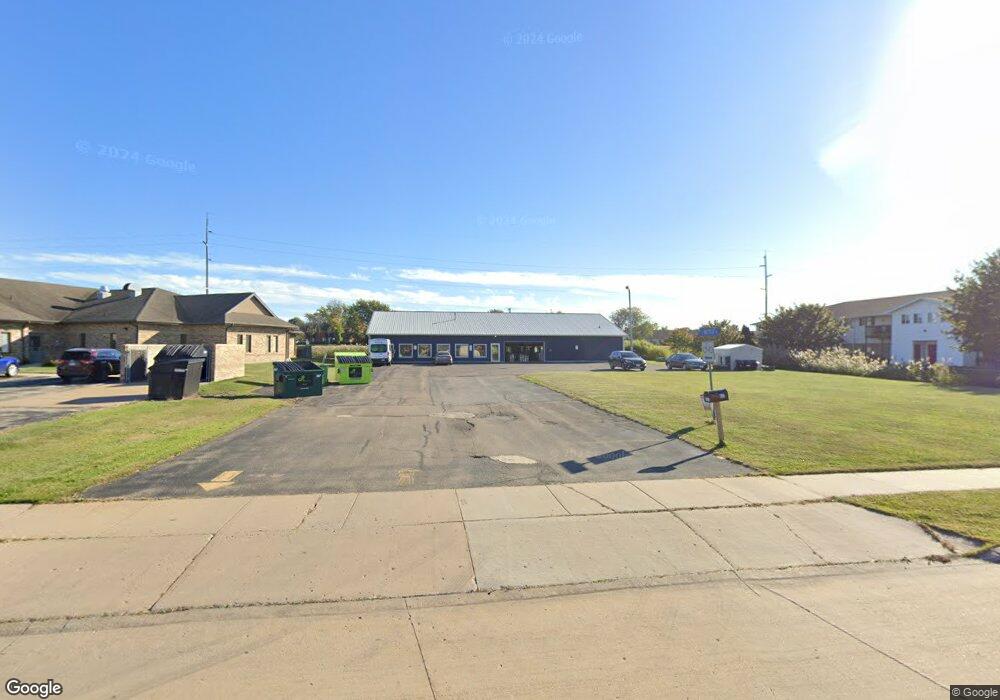
631 Saunders Rd Kaukauna, WI 54130
Estimated Value: $727,249
--
Bed
--
Bath
--
Sq Ft
1
Acres
About This Home
This home is located at 631 Saunders Rd, Kaukauna, WI 54130 and is currently estimated at $727,249. 631 Saunders Rd is a home located in Outagamie County with nearby schools including River View School, Kaukauna High School, and New Directions Learning Community.
Ownership History
Date
Name
Owned For
Owner Type
Purchase Details
Closed on
Jul 8, 2025
Sold by
Big Ring Properties Llc
Bought by
Kraft Company Llc
Current Estimated Value
Home Financials for this Owner
Home Financials are based on the most recent Mortgage that was taken out on this home.
Original Mortgage
$543,750
Outstanding Balance
$542,836
Interest Rate
6.89%
Mortgage Type
New Conventional
Estimated Equity
$184,413
Purchase Details
Closed on
Dec 4, 2019
Sold by
Gab Investments Llc
Bought by
Big Ring Properties Llc
Purchase Details
Closed on
Feb 18, 2015
Sold by
Pac Enterprises Llc
Bought by
Gab Investments Llc
Purchase Details
Closed on
Feb 14, 2007
Sold by
Boehlen Robert M and Boehlen Rebecca L
Bought by
Pac Enterprises Llc
Create a Home Valuation Report for This Property
The Home Valuation Report is an in-depth analysis detailing your home's value as well as a comparison with similar homes in the area
Home Values in the Area
Average Home Value in this Area
Purchase History
| Date | Buyer | Sale Price | Title Company |
|---|---|---|---|
| Kraft Company Llc | $725,000 | Stewart Title Company | |
| Big Ring Properties Llc | $550,000 | -- | |
| Gab Investments Llc | $298,000 | -- | |
| Pac Enterprises Llc | $300,000 | -- |
Source: Public Records
Mortgage History
| Date | Status | Borrower | Loan Amount |
|---|---|---|---|
| Open | Kraft Company Llc | $543,750 |
Source: Public Records
Tax History Compared to Growth
Tax History
| Year | Tax Paid | Tax Assessment Tax Assessment Total Assessment is a certain percentage of the fair market value that is determined by local assessors to be the total taxable value of land and additions on the property. | Land | Improvement |
|---|---|---|---|---|
| 2024 | $8,747 | $400,300 | $174,200 | $226,100 |
| 2023 | $8,053 | $400,300 | $174,200 | $226,100 |
| 2022 | $7,484 | $400,300 | $174,200 | $226,100 |
| 2021 | $7,162 | $400,300 | $174,200 | $226,100 |
| 2020 | $8,297 | $356,700 | $127,400 | $229,300 |
| 2019 | $8,340 | $356,700 | $127,400 | $229,300 |
| 2018 | $8,348 | $356,700 | $127,400 | $229,300 |
| 2017 | $7,050 | $304,600 | $127,400 | $177,200 |
| 2016 | $6,726 | $304,600 | $127,400 | $177,200 |
| 2015 | $6,729 | $304,600 | $127,400 | $177,200 |
| 2014 | $6,710 | $304,600 | $127,400 | $177,200 |
| 2013 | $6,760 | $304,600 | $127,400 | $177,200 |
Source: Public Records
Map
Nearby Homes
- 3005 Crooks Ave
- 3051 Crooks Ave
- 3290 Crooks Ave
- 520 W Ann St
- 506 E Ann St
- 510 E Ann St
- 2800 Crooks Ave
- 2724 Crooks Ave
- 2716 Crooks Ave
- 2712 Crooks Ave
- 2708 Crooks Ave
- 2704 Crooks Ave
- 3401 Crooks Ave
- 3201 Crooks Ave
- 3125 Crooks Ave
- 3055 Crooks Ave
- 2701 Crooks Ave
- 2705 Crooks Ave
- 2709 Crooks Ave
- 2713 Crooks Ave