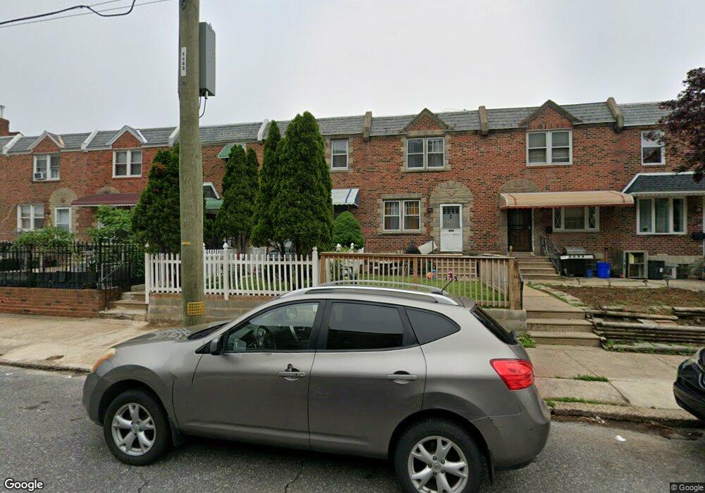
6310 Battersby St Philadelphia, PA 19149
Mayfair NeighborhoodEstimated Value: $214,000 - $242,080
3
Beds
1
Bath
1,170
Sq Ft
$197/Sq Ft
Est. Value
About This Home
This home is located at 6310 Battersby St, Philadelphia, PA 19149 and is currently estimated at $230,270, approximately $196 per square foot. 6310 Battersby St is a home located in Philadelphia County with nearby schools including Lincoln High School, Ethan Allen School, and Blessed Trinity Regional Catholic School.
Ownership History
Date
Name
Owned For
Owner Type
Purchase Details
Closed on
Dec 20, 2005
Sold by
Staudenmayer Joseph E
Bought by
Saraci Petrit and Saraci Feorika
Current Estimated Value
Home Financials for this Owner
Home Financials are based on the most recent Mortgage that was taken out on this home.
Original Mortgage
$88,400
Outstanding Balance
$49,431
Interest Rate
6.28%
Mortgage Type
Fannie Mae Freddie Mac
Estimated Equity
$180,839
Create a Home Valuation Report for This Property
The Home Valuation Report is an in-depth analysis detailing your home's value as well as a comparison with similar homes in the area
Home Values in the Area
Average Home Value in this Area
Purchase History
| Date | Buyer | Sale Price | Title Company |
|---|---|---|---|
| Saraci Petrit | $117,000 | Stewart Title Guaranty Compa |
Source: Public Records
Mortgage History
| Date | Status | Borrower | Loan Amount |
|---|---|---|---|
| Open | Saraci Petrit | $88,400 |
Source: Public Records
Tax History Compared to Growth
Tax History
| Year | Tax Paid | Tax Assessment Tax Assessment Total Assessment is a certain percentage of the fair market value that is determined by local assessors to be the total taxable value of land and additions on the property. | Land | Improvement |
|---|---|---|---|---|
| 2025 | $2,770 | $236,600 | $47,320 | $189,280 |
| 2024 | $2,770 | $236,600 | $47,320 | $189,280 |
| 2023 | $2,770 | $197,900 | $39,580 | $158,320 |
| 2022 | $2,140 | $152,900 | $39,580 | $113,320 |
| 2021 | $2,083 | $0 | $0 | $0 |
| 2020 | $2,083 | $0 | $0 | $0 |
| 2019 | $1,999 | $0 | $0 | $0 |
| 2018 | $1,342 | $0 | $0 | $0 |
| 2017 | $1,762 | $0 | $0 | $0 |
| 2016 | $1,342 | $0 | $0 | $0 |
| 2015 | $1,285 | $0 | $0 | $0 |
| 2014 | -- | $125,900 | $18,358 | $107,542 |
| 2012 | -- | $15,296 | $1,573 | $13,723 |
Source: Public Records
Map
Nearby Homes
- 2916 Levick St
- 6333 Mershon St
- 2910 Passmore St
- 2911 Passmore St
- 3038 Hellerman St
- 3134 Stirling St
- 2940 Devereaux Ave
- 6233 Cardiff St
- 3148 Barnett St
- 6524 Battersby St
- 6204 Mershon St
- 6241 Frankford Ave
- 2818 Hellerman St
- 6239 Frankford Ave
- 3153 Barnett St
- 3118 Hellerman St
- 3013 Gilham St
- 6200 Cardiff St
- 4623 Hawthorne St
- 6143 Hawthorne St
- 6312 Battersby St
- 6308 Battersby St
- 6314 Battersby St
- 6306 Battersby St
- 6316 Battersby St
- 6304 Battersby St
- 6318 Battersby St
- 6302 Battersby St
- 6320 Battersby St
- 6322 Battersby St
- 6324 Battersby St
- 6326 Battersby St
- 6328 Battersby St
- 2938 Levick St
- 2936 Levick St
- 2932 Levick St
- 2934 Levick St
- 2930 Levick St
- 2928 Levick St
- 2926 Levick St