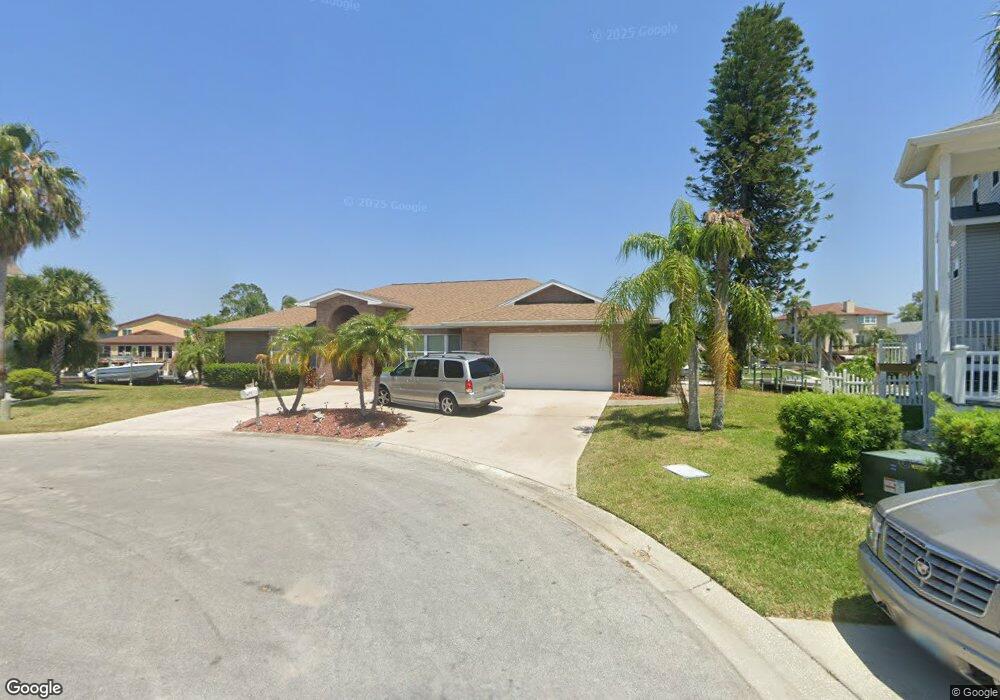
6310 Bayside Dr New Port Richey, FL 34652
New Port Richey West NeighborhoodEstimated Value: $756,053 - $936,000
--
Bed
3
Baths
2,999
Sq Ft
$292/Sq Ft
Est. Value
About This Home
This home is located at 6310 Bayside Dr, New Port Richey, FL 34652 and is currently estimated at $876,763, approximately $292 per square foot. 6310 Bayside Dr is a home located in Pasco County with nearby schools including Richey Elementary School, Gulf Middle School, and Gulf High School.
Ownership History
Date
Name
Owned For
Owner Type
Purchase Details
Closed on
Oct 27, 2021
Sold by
Polzer Al and Polzer Allen
Bought by
Allen Polzer Living Trust and Polzer
Current Estimated Value
Purchase Details
Closed on
Sep 28, 1995
Sold by
Bauercamper Charles D and Bauercamper Priscilla N
Bought by
Polzer Al
Purchase Details
Closed on
Oct 3, 1994
Sold by
Shirley Joseph F and Shirley Bernadine
Bought by
Bauercamper Charles D and Bauercamper Priscilla N
Create a Home Valuation Report for This Property
The Home Valuation Report is an in-depth analysis detailing your home's value as well as a comparison with similar homes in the area
Home Values in the Area
Average Home Value in this Area
Purchase History
| Date | Buyer | Sale Price | Title Company |
|---|---|---|---|
| Allen Polzer Living Trust | -- | None Listed On Document | |
| Polzer Al | $160,000 | -- | |
| Bauercamper Charles D | $128,000 | -- |
Source: Public Records
Tax History Compared to Growth
Tax History
| Year | Tax Paid | Tax Assessment Tax Assessment Total Assessment is a certain percentage of the fair market value that is determined by local assessors to be the total taxable value of land and additions on the property. | Land | Improvement |
|---|---|---|---|---|
| 2025 | $5,026 | $332,650 | -- | -- |
| 2024 | $5,026 | $323,280 | -- | -- |
| 2023 | $4,843 | $313,870 | $0 | $0 |
| 2022 | $4,357 | $304,730 | $0 | $0 |
| 2021 | $4,280 | $295,860 | $133,295 | $162,565 |
| 2020 | $4,215 | $291,780 | $129,551 | $162,229 |
| 2019 | $4,148 | $285,220 | $0 | $0 |
| 2018 | $4,074 | $279,902 | $0 | $0 |
| 2017 | $4,059 | $279,902 | $0 | $0 |
| 2016 | $3,982 | $268,506 | $0 | $0 |
| 2015 | $4,037 | $266,640 | $0 | $0 |
| 2014 | $3,930 | $316,603 | $127,241 | $189,362 |
Source: Public Records
Map
Nearby Homes
- 6344 Spoonbill Dr
- 6241 Bayside Dr
- 6340 Spoonbill Dr
- 6225 Bayside Dr
- 6316 Spoonbill Dr
- 6312 Spoonbill Dr
- 6513 Sand Shore Ln
- 6244 Spoonbill Dr
- 4425 Gulfside Dr
- 6517 Channelside Dr
- 6209 Spoonbill Dr
- 6340 Garland Ct
- 6208 Spoonbill Dr
- 4820 Treasure Dr
- 6317 Werner Ave
- 6116 Seaside Dr
- 4827 Treasure Dr
- 6415 Werner Ave
- 6306 Garland Ct
- 4848 Hermes Way
- 6306 Bayside Dr
- 6316 Bayside Dr
- 6315 Bayside Dr
- 6311 Bayside Dr
- 6305 Bayside Dr
- 6236 Bayside Dr
- 6327 Fjord Way
- 6333 Fjord Way
- 6321 Fjord Way
- 6339 Fjord Way
- 6345 Fjord Way
- 6315 Fjord Way
- 6351 Fjord Way
- 6232 Bayside Dr
- 6235 Bayside Dr
- 6309 Fjord Way
- 6401 Fjord Way
- 6231 Bayside Dr
- 6344 Spoonbill Dr
- 6226 Bayside Dr