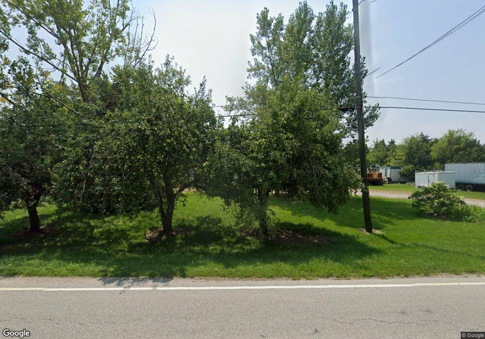
6310 Cedar Point Rd Oregon, OH 43616
Estimated Value: $304,000 - $442,504
4
Beds
1
Bath
2,114
Sq Ft
$181/Sq Ft
Est. Value
About This Home
This home is located at 6310 Cedar Point Rd, Oregon, OH 43616 and is currently estimated at $383,626, approximately $181 per square foot. 6310 Cedar Point Rd is a home located in Lucas County.
Ownership History
Date
Name
Owned For
Owner Type
Purchase Details
Closed on
May 15, 2018
Sold by
Myers William J and Myers Saletta
Bought by
Myers William J and Myers Land Holdings Trust
Current Estimated Value
Purchase Details
Closed on
Jan 30, 2015
Sold by
Myers Ivan C and Myers Amie S
Bought by
Myers Robert J
Purchase Details
Closed on
Dec 27, 2002
Sold by
Myers Ivan C and Myers Margie C
Bought by
Myers Ivan C and Myers Amie S
Purchase Details
Closed on
Mar 16, 1999
Sold by
Myers I C I and Myers M C
Bought by
Myers Robert J
Create a Home Valuation Report for This Property
The Home Valuation Report is an in-depth analysis detailing your home's value as well as a comparison with similar homes in the area
Home Values in the Area
Average Home Value in this Area
Purchase History
| Date | Buyer | Sale Price | Title Company |
|---|---|---|---|
| Myers William J | -- | None Available | |
| Myers William J | -- | None Available | |
| Myers Robert J | -- | None Available | |
| Myers Ivan C | -- | -- | |
| Myers Robert J | -- | -- | |
| Myers William J | -- | -- |
Source: Public Records
Tax History Compared to Growth
Tax History
| Year | Tax Paid | Tax Assessment Tax Assessment Total Assessment is a certain percentage of the fair market value that is determined by local assessors to be the total taxable value of land and additions on the property. | Land | Improvement |
|---|---|---|---|---|
| 2025 | -- | $83,678 | $60,928 | $22,750 |
| 2024 | $2,828 | $119,063 | $60,928 | $58,135 |
| 2023 | $3,453 | $61,905 | $34,185 | $27,720 |
| 2022 | $3,479 | $61,904 | $34,184 | $27,720 |
| 2021 | $3,508 | $61,904 | $34,184 | $27,720 |
| 2020 | $4,298 | $67,232 | $45,602 | $21,630 |
| 2019 | $4,177 | $67,232 | $45,602 | $21,630 |
| 2018 | $4,158 | $67,232 | $45,602 | $21,630 |
| 2017 | $5,658 | $85,369 | $64,369 | $21,000 |
| 2016 | $5,585 | $243,910 | $183,910 | $60,000 |
| 2015 | $5,547 | $243,910 | $183,910 | $60,000 |
| 2014 | $3,447 | $115,400 | $94,400 | $21,000 |
| 2013 | $3,447 | $115,400 | $94,400 | $21,000 |
Source: Public Records
Map
Nearby Homes
- 1139 N Stadium Rd
- 1561 N Stadium Rd
- 5560 Eagles Landing Dr
- 6530 Corduroy Rd
- 2057 Blanche Dr
- 5524 Eagles Landing Dr
- 5281 Eagles Landing Dr
- 5313 Eagles Landing Dr
- 5548 Eagles Landing Dr
- 5514 Eagles Landing Dr
- 6645 Seaman Rd
- 1536 N Wynn Rd
- 5467 Seaman Rd
- 5149 Bayshore Rd
- 5415 Seaman Rd
- 180 S Stadium Rd
- 234 Avilyn Ln
- 5054 Magnolia Dr
- 5065 Magnolia Dr
- 5051 Magnolia Dr
- 6305 Cedar Point Rd
- 6251 Cedar Point Rd
- 6321 Cedar Point Rd
- 6219 Cedar Point Rd
- 6213 Cedar Point Rd
- 6355 Cedar Point Rd
- 6331 Cedar Point Rd
- 6359 Cedar Point Rd
- 6118 Cedar Point Rd
- 6379 Cedar Point Rd
- 6011 Cedar Point Rd
- 5960 Cedar Point Rd
- 6006 Cedar Point Rd
- 5950 Cedar Point Rd
- 5922 Cedar Point Rd
- 5914 Cedar Point Rd
- 6610 Cedar Point Rd
- 5910 Cedar Point Rd
- 1054 N Norden Rd
- 1140 N Norden Rd
