6310 Gentry Ct S Unit 27 Hudsonville, MI 49426
Estimated Value: $340,000 - $352,000
2
Beds
3
Baths
2,200
Sq Ft
$157/Sq Ft
Est. Value
About This Home
This home is located at 6310 Gentry Ct S Unit 27, Hudsonville, MI 49426 and is currently estimated at $346,410, approximately $157 per square foot. 6310 Gentry Ct S Unit 27 is a home located in Ottawa County with nearby schools including Bursley School, Jenison Junior High School, and Jenison High School.
Ownership History
Date
Name
Owned For
Owner Type
Purchase Details
Closed on
Mar 26, 2020
Sold by
Healey James F and Healey Patricia J
Bought by
Postma Lisa J and Postma David R
Current Estimated Value
Home Financials for this Owner
Home Financials are based on the most recent Mortgage that was taken out on this home.
Original Mortgage
$185,400
Outstanding Balance
$146,888
Interest Rate
3.4%
Mortgage Type
New Conventional
Estimated Equity
$199,522
Purchase Details
Closed on
Oct 31, 2012
Sold by
Healey Jim and Healey Patricia
Bought by
James F Healey & Patricia J Healy Trust
Purchase Details
Closed on
Nov 30, 2004
Sold by
Verburg Sue J
Bought by
Healey Jim and Healey Patricia
Create a Home Valuation Report for This Property
The Home Valuation Report is an in-depth analysis detailing your home's value as well as a comparison with similar homes in the area
Home Values in the Area
Average Home Value in this Area
Purchase History
| Date | Buyer | Sale Price | Title Company |
|---|---|---|---|
| Postma Lisa J | $206,000 | None Available | |
| James F Healey & Patricia J Healy Trust | -- | None Available | |
| Healey Jim | $193,000 | Metropolitan Title Company |
Source: Public Records
Mortgage History
| Date | Status | Borrower | Loan Amount |
|---|---|---|---|
| Open | Postma Lisa J | $185,400 |
Source: Public Records
Tax History Compared to Growth
Tax History
| Year | Tax Paid | Tax Assessment Tax Assessment Total Assessment is a certain percentage of the fair market value that is determined by local assessors to be the total taxable value of land and additions on the property. | Land | Improvement |
|---|---|---|---|---|
| 2025 | $3,713 | $154,500 | $0 | $0 |
| 2024 | $3,222 | $154,900 | $0 | $0 |
| 2023 | $3,076 | $127,600 | $0 | $0 |
| 2022 | $3,377 | $125,400 | $0 | $0 |
| 2021 | $5,264 | $115,500 | $0 | $0 |
| 2020 | $2,249 | $114,300 | $0 | $0 |
| 2019 | $2,250 | $111,400 | $0 | $0 |
| 2018 | $2,099 | $105,400 | $0 | $0 |
| 2017 | $2,062 | $103,400 | $0 | $0 |
| 2016 | $2,049 | $94,200 | $0 | $0 |
| 2015 | $1,956 | $96,200 | $0 | $0 |
| 2014 | $1,956 | $72,100 | $0 | $0 |
Source: Public Records
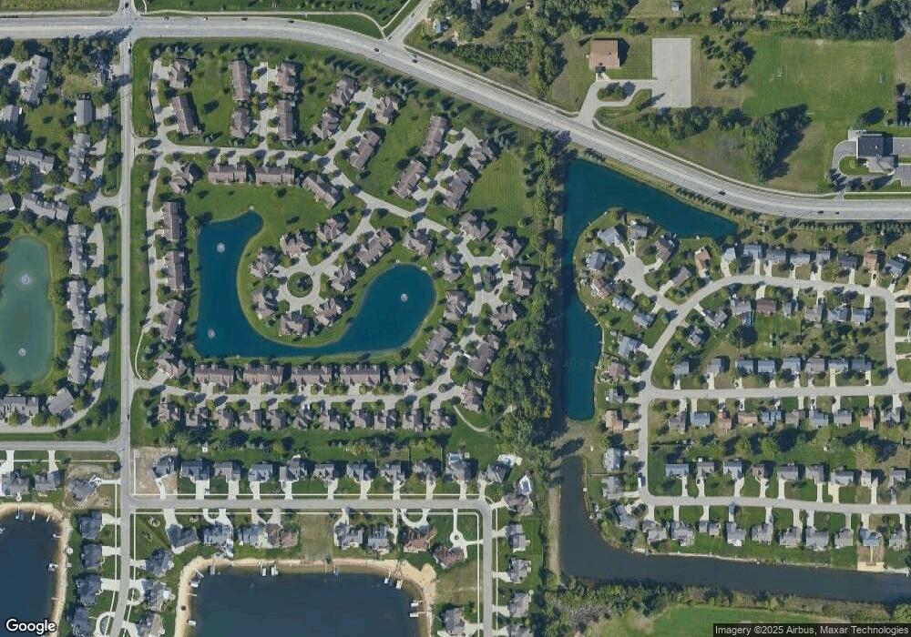
Map
Nearby Homes
- 6363 Eastridge Ct
- 6293 Eastridge Dr
- 1643 Laramy Ln
- 1520 Winifred St
- 6129 W Bay Ct
- 1433 Winifred St
- 1519 Eagle Shore Ct Unit Lot 33
- 1496 Eagle Shore Ct Unit 13
- 1481 Eagle Shore Ct Unit 39
- 1451 Eagle Shore Ct
- 1361 Carol Dr
- 1355 Bent Tree Dr Unit 12
- 6451 12th Ave
- 6025 Gleneagle Dr
- 6905 Maple Ave
- 5833 Nelson Dr
- 1187 Fairfield Dr
- 5954 Gleneagle Dr
- Parcel 8 16th Ave
- 1037 Fairfield Dr
- 6308 Gentry Ct S
- 6306 Gentry Ct S
- 6290 Gentry Ct S
- 1776 Stonegate Dr
- 1778 Stonegate Dr
- 6288 Gentry Ct S Unit 23
- 6286 Gentry Ct S Unit 22
- 1758 Stonegate Dr
- 1756 Stonegate Dr Unit 31
- 1754 Stonegate Dr
- 6256 Gentry Ct S
- 6352 Getry Ct N
- 6352 Gentry Ct N
- 6291 Eastridge Dr
- 6291 Eastridge Dr Unit 20
- 6289 Eastridge Dr
- 6254 Gentry Ct S
- 6287 Eastridge Dr
- 6343 Eastridge Ct Unit 6
- 1736 Stonegate Dr