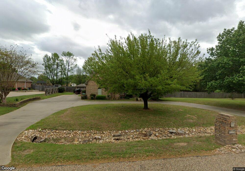
6310 Lost Creek Dr Texarkana, TX 75503
Estimated Value: $390,234 - $426,000
3
Beds
3
Baths
2,793
Sq Ft
$146/Sq Ft
Est. Value
About This Home
This home is located at 6310 Lost Creek Dr, Texarkana, TX 75503 and is currently estimated at $407,559, approximately $145 per square foot. 6310 Lost Creek Dr is a home located in Bowie County with nearby schools including Margaret Fischer Davis Elementary School, Pleasant Grove Intermediate School, and Pleasant Grove Middle School.
Ownership History
Date
Name
Owned For
Owner Type
Purchase Details
Closed on
Dec 5, 2019
Sold by
Mayhew Patricia An and The Patricia Ann Mayhew 2001 T
Bought by
Wommack David
Current Estimated Value
Home Financials for this Owner
Home Financials are based on the most recent Mortgage that was taken out on this home.
Original Mortgage
$200,000
Outstanding Balance
$176,297
Interest Rate
3.7%
Mortgage Type
New Conventional
Estimated Equity
$231,262
Purchase Details
Closed on
Jun 4, 2005
Sold by
Mayhew Patricia A
Bought by
Mayhew Patricia Ann
Create a Home Valuation Report for This Property
The Home Valuation Report is an in-depth analysis detailing your home's value as well as a comparison with similar homes in the area
Home Values in the Area
Average Home Value in this Area
Purchase History
| Date | Buyer | Sale Price | Title Company |
|---|---|---|---|
| Wommack David | -- | Capital Title | |
| Mayhew Patricia Ann | -- | None Available |
Source: Public Records
Mortgage History
| Date | Status | Borrower | Loan Amount |
|---|---|---|---|
| Open | Wommack David | $200,000 |
Source: Public Records
Tax History Compared to Growth
Tax History
| Year | Tax Paid | Tax Assessment Tax Assessment Total Assessment is a certain percentage of the fair market value that is determined by local assessors to be the total taxable value of land and additions on the property. | Land | Improvement |
|---|---|---|---|---|
| 2025 | $8,733 | $402,945 | $30,000 | $372,945 |
| 2024 | $8,733 | $392,424 | $30,000 | $362,424 |
| 2023 | $8,477 | $376,536 | $30,000 | $346,536 |
| 2022 | $8,362 | $340,546 | $30,000 | $310,546 |
| 2021 | $7,599 | $290,558 | $30,000 | $260,558 |
| 2020 | $7,247 | $275,680 | $30,000 | $245,680 |
| 2019 | $7,943 | $294,474 | $30,000 | $264,474 |
| 2018 | $7,211 | $268,805 | $30,000 | $238,805 |
| 2017 | $7,070 | $264,297 | $30,000 | $234,297 |
| 2016 | $7,310 | $273,271 | $25,000 | $248,271 |
| 2015 | $5,920 | $284,241 | $25,000 | $259,241 |
| 2014 | $5,920 | $276,892 | $25,000 | $251,892 |
Source: Public Records
Map
Nearby Homes
- 7207 N Richland Dr
- 5608 Hillcrest Dr
- 7104 N Richland Dr
- 14 Stonewall Trace
- Lot 1 High -Cooper Lane Estate III Dr
- 15-17 Pinto Cir
- 7303 Old Spanish Dr
- 14-16 Pinto Cir
- 5128 Remington
- 8227 N Kings Hwy
- 0 HIGH DRIVE High Dr
- 5112 Remington St
- 6706 Cameron
- 5105 Remington
- 6605 Chaparral St
- 6803 Kincaid St
- 6810 Kincaid St
- 8109 Gadwall Trail
- 8304 Greenhead Dr
- 1302 Arnold Ln
- 6402 Lost Creek Dr
- 5605 Hillcrest Dr
- 6308 Lost Creek Dr
- 6303 Lost Creek Dr
- 5706 Hillcrest Dr
- 6404 Lost Creek Dr
- 6404 Lost Creek Dr
- 6403 Lost Creek Dr
- 6306 Lost Creek Dr
- 6301 Lost Creek Dr
- 5602 Hillcrest Dr
- 5604 Hillcrest Dr
- 6304 Lost Creek Dr
- 7202 N Richland Dr
- 5606 Hillcrest Dr
- 6211 Lost Creek Dr
- 7110 N Richland Dr
- 7200 N Richland Dr
- 7204 N Richland Dr
- 7209 N Richland Dr