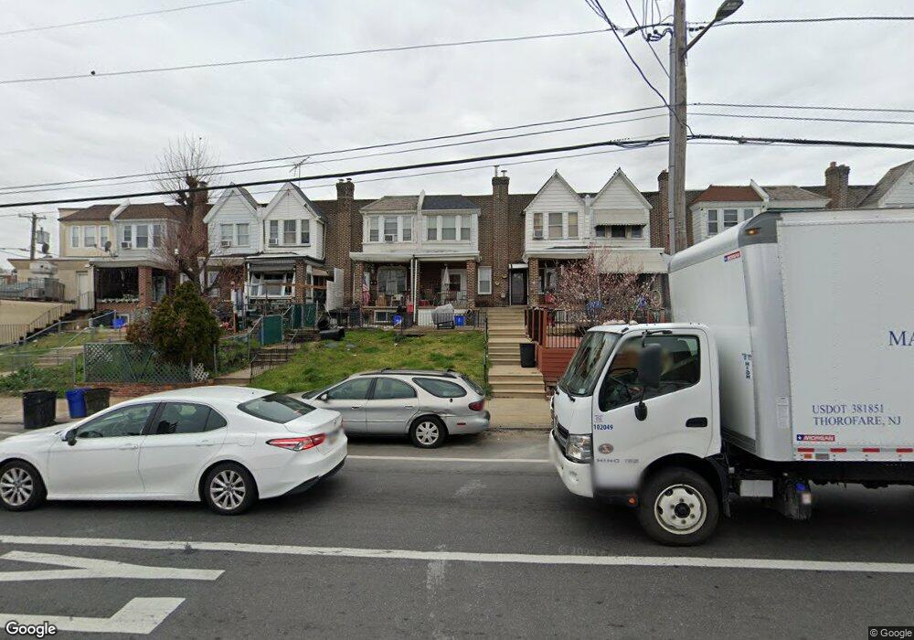
6310 Torresdale Ave Philadelphia, PA 19135
Wissinoming NeighborhoodEstimated Value: $179,000 - $206,000
3
Beds
1
Bath
1,140
Sq Ft
$169/Sq Ft
Est. Value
About This Home
This home is located at 6310 Torresdale Ave, Philadelphia, PA 19135 and is currently estimated at $192,853, approximately $169 per square foot. 6310 Torresdale Ave is a home located in Philadelphia County with nearby schools including Lawton Henry W School, Harding Warren G Middle School, and Frankford High School.
Ownership History
Date
Name
Owned For
Owner Type
Purchase Details
Closed on
Apr 26, 2002
Sold by
Maio Gerard A and Maio Lillian
Bought by
Brett David and Brett Danielle
Current Estimated Value
Home Financials for this Owner
Home Financials are based on the most recent Mortgage that was taken out on this home.
Original Mortgage
$44,796
Interest Rate
7.15%
Mortgage Type
FHA
Create a Home Valuation Report for This Property
The Home Valuation Report is an in-depth analysis detailing your home's value as well as a comparison with similar homes in the area
Home Values in the Area
Average Home Value in this Area
Purchase History
| Date | Buyer | Sale Price | Title Company |
|---|---|---|---|
| Brett David | $45,000 | -- |
Source: Public Records
Mortgage History
| Date | Status | Borrower | Loan Amount |
|---|---|---|---|
| Previous Owner | Brett David | $44,796 |
Source: Public Records
Tax History Compared to Growth
Tax History
| Year | Tax Paid | Tax Assessment Tax Assessment Total Assessment is a certain percentage of the fair market value that is determined by local assessors to be the total taxable value of land and additions on the property. | Land | Improvement |
|---|---|---|---|---|
| 2025 | $1,552 | $175,000 | $35,000 | $140,000 |
| 2024 | $1,552 | $175,000 | $35,000 | $140,000 |
| 2023 | $1,552 | $110,900 | $22,100 | $88,800 |
| 2022 | $1,237 | $110,900 | $22,100 | $88,800 |
| 2021 | $1,237 | $0 | $0 | $0 |
| 2020 | $1,237 | $0 | $0 | $0 |
| 2019 | $1,187 | $0 | $0 | $0 |
| 2018 | $1,310 | $0 | $0 | $0 |
| 2017 | $1,310 | $0 | $0 | $0 |
| 2016 | $1,310 | $0 | $0 | $0 |
| 2015 | $1,254 | $0 | $0 | $0 |
| 2014 | -- | $93,600 | $16,512 | $77,088 |
| 2012 | -- | $11,552 | $2,079 | $9,473 |
Source: Public Records
Map
Nearby Homes
- 6316 Torresdale Ave
- 6328 Torresdale Ave
- 6254 Marsden St
- 6370 Marsden St
- 6228 Torresdale Ave
- 4521 Hale St
- 4521 Mckinley St
- 6347 Jackson St
- 6409 Marsden St
- 6411 Marsden St
- 6323 Hegerman St
- 6443 Ditman St
- 4418 Mckinley St
- 6321 Edmund St
- 6346 Cottage St
- 6337 Algard St
- 6506 Ditman St
- 6321 Tulip St
- 6422 Tulip St
- 4619 Benner St
- 6314 Torresdale Ave
- 6312 Torresdale Ave
- 6318 Torresdale Ave
- 6320 Torresdale Ave
- 6308 Torresdale Ave
- 6306 Torresdale Ave
- 6322 Torresdale Ave
- 6304 Torresdale Ave
- 6324 Torresdale Ave
- 6302 Torresdale Ave
- 6326 Torresdale Ave
- 6315 Marsden St
- 6313 Marsden St
- 6317 Marsden St
- 6300 Torresdale Ave
- 6321 Marsden St
- 6311 Marsden St
- 6309 Marsden St
- 6319 Marsden St
- 6323 Marsden St