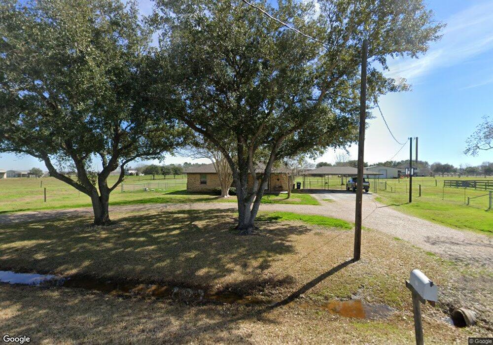
6311 Birdie Ln Rosenberg, TX 77471
Estimated Value: $348,000 - $423,000
3
Beds
2
Baths
1,901
Sq Ft
$205/Sq Ft
Est. Value
About This Home
This home is located at 6311 Birdie Ln, Rosenberg, TX 77471 and is currently estimated at $389,690, approximately $204 per square foot. 6311 Birdie Ln is a home located in Fort Bend County with nearby schools including Beasley Elementary School, Navarro Middle School, and George Junior High School.
Ownership History
Date
Name
Owned For
Owner Type
Purchase Details
Closed on
Sep 27, 2000
Sold by
King Chas and King Rebecca
Bought by
Korxzynski Rodney A and Korxzynski Trista M
Current Estimated Value
Home Financials for this Owner
Home Financials are based on the most recent Mortgage that was taken out on this home.
Original Mortgage
$96,400
Outstanding Balance
$35,332
Interest Rate
7.99%
Estimated Equity
$354,358
Purchase Details
Closed on
Sep 26, 2000
Sold by
King Charles A and King Rebecca B
Bought by
Korczynski Rodney A and Korczynski Trista M
Home Financials for this Owner
Home Financials are based on the most recent Mortgage that was taken out on this home.
Original Mortgage
$96,400
Outstanding Balance
$35,332
Interest Rate
7.99%
Estimated Equity
$354,358
Create a Home Valuation Report for This Property
The Home Valuation Report is an in-depth analysis detailing your home's value as well as a comparison with similar homes in the area
Home Values in the Area
Average Home Value in this Area
Purchase History
| Date | Buyer | Sale Price | Title Company |
|---|---|---|---|
| Korxzynski Rodney A | -- | -- | |
| Korczynski Rodney A | -- | Fidelity National Title |
Source: Public Records
Mortgage History
| Date | Status | Borrower | Loan Amount |
|---|---|---|---|
| Open | Korczynski Rodney A | $96,400 | |
| Closed | Korczynski Rodney A | $12,050 |
Source: Public Records
Tax History Compared to Growth
Tax History
| Year | Tax Paid | Tax Assessment Tax Assessment Total Assessment is a certain percentage of the fair market value that is determined by local assessors to be the total taxable value of land and additions on the property. | Land | Improvement |
|---|---|---|---|---|
| 2025 | $3,052 | $291,463 | $218,500 | $251,105 |
| 2024 | $3,052 | $264,966 | -- | $270,229 |
| 2023 | $2,706 | $240,878 | $0 | $272,785 |
| 2022 | $4,450 | $248,160 | $36,380 | $211,780 |
| 2021 | $3,573 | $199,070 | $36,380 | $162,690 |
| 2020 | $3,644 | $199,990 | $36,380 | $163,610 |
| 2019 | $3,685 | $188,580 | $36,380 | $152,200 |
| 2018 | $3,497 | $178,500 | $36,380 | $142,120 |
| 2017 | $3,307 | $177,410 | $36,380 | $141,030 |
| 2016 | $3,226 | $173,080 | $36,380 | $136,700 |
| 2015 | $2,579 | $164,520 | $36,380 | $128,140 |
| 2014 | $2,462 | $149,560 | $36,380 | $113,180 |
Source: Public Records
Map
Nearby Homes
- 506 Twin Ln
- 2607 Finney Vallet Rd
- 0 Kunz Rd
- 00 Kunz Rd
- 0 Foerster School Rd
- 735 Willow Grove Ln
- 5611 Buttonbush Ct
- 5607 Buttonbush Ct
- 646 Walnut Branch Dr
- Walnut Plan at Brookewater - 45s
- Barrett Plan at Brookewater - 45s
- Charlton Plan at Brookewater - 45s
- Dorset Plan at Brookewater - 45s
- Tavern Plan at Brookewater - 45s
- Reid Plan at Brookewater - 45s
- 638 Walnut Branch Dr
- 634 Walnut Branch Dr
- 7937 Welch Rd
- 5115 Nesbit Path
- 5118 Nesbit Path