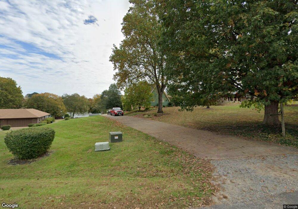
6311 Bobs Rd Mineral, VA 23117
Margo NeighborhoodEstimated Value: $494,000 - $866,331
3
Beds
4
Baths
1,737
Sq Ft
$420/Sq Ft
Est. Value
About This Home
This home is located at 6311 Bobs Rd, Mineral, VA 23117 and is currently estimated at $730,333, approximately $420 per square foot. 6311 Bobs Rd is a home located in Spotsylvania County with nearby schools including Livingston Elementary School, Post Oak Middle School, and Spotsylvania High School.
Ownership History
Date
Name
Owned For
Owner Type
Purchase Details
Closed on
Nov 19, 2019
Sold by
Hodge Ernest and Hodge Sandra R
Bought by
Hodge Ernest and Hodge Sandra R
Current Estimated Value
Purchase Details
Closed on
Jul 28, 2000
Sold by
Mcmahon James T
Bought by
Hodge Ernest
Home Financials for this Owner
Home Financials are based on the most recent Mortgage that was taken out on this home.
Original Mortgage
$281,700
Outstanding Balance
$101,853
Interest Rate
8.18%
Mortgage Type
Purchase Money Mortgage
Estimated Equity
$628,480
Create a Home Valuation Report for This Property
The Home Valuation Report is an in-depth analysis detailing your home's value as well as a comparison with similar homes in the area
Home Values in the Area
Average Home Value in this Area
Purchase History
| Date | Buyer | Sale Price | Title Company |
|---|---|---|---|
| Hodge Ernest | -- | None Available | |
| Hodge Ernest | $313,000 | -- |
Source: Public Records
Mortgage History
| Date | Status | Borrower | Loan Amount |
|---|---|---|---|
| Open | Hodge Ernest | $281,700 |
Source: Public Records
Tax History Compared to Growth
Tax History
| Year | Tax Paid | Tax Assessment Tax Assessment Total Assessment is a certain percentage of the fair market value that is determined by local assessors to be the total taxable value of land and additions on the property. | Land | Improvement |
|---|---|---|---|---|
| 2025 | $4,560 | $621,000 | $300,000 | $321,000 |
| 2024 | $4,560 | $621,000 | $300,000 | $321,000 |
| 2023 | $4,320 | $559,800 | $275,000 | $284,800 |
| 2022 | $4,130 | $559,800 | $275,000 | $284,800 |
| 2021 | $3,779 | $466,900 | $250,000 | $216,900 |
| 2020 | $3,768 | $465,500 | $250,000 | $215,500 |
| 2019 | $3,931 | $463,900 | $250,000 | $213,900 |
| 2018 | $3,864 | $463,900 | $250,000 | $213,900 |
| 2017 | $3,911 | $460,100 | $250,000 | $210,100 |
| 2016 | $3,911 | $460,100 | $250,000 | $210,100 |
| 2015 | -- | $462,300 | $250,000 | $212,300 |
| 2014 | -- | $462,300 | $250,000 | $212,300 |
Source: Public Records
Map
Nearby Homes
- 6213 Belmont Rd
- 6206 Eds Rd
- 6121 Belmont Rd
- 15507 Heth Dr
- 6202 Bills Rd
- 6200 Bills Rd
- 6602 Sunrise Bay Dr
- 6105 Belmont Rd
- 6103 Belmont Rd
- 6028 Lost Cove Dr
- 6602 Morning Dew Dr
- 6604 Morning Dew Dr
- 6202 Ruth Ln
- 14814 Childs Cove Dr
- 6715 Water View Ln Unit 68
- 6715 Water View Ln
- 0 Dock Luck Ln
- 14819 Childs Cove Dr
- 6200 Stubbs Cove Ln
- 6206 Stubbs Cove Ln