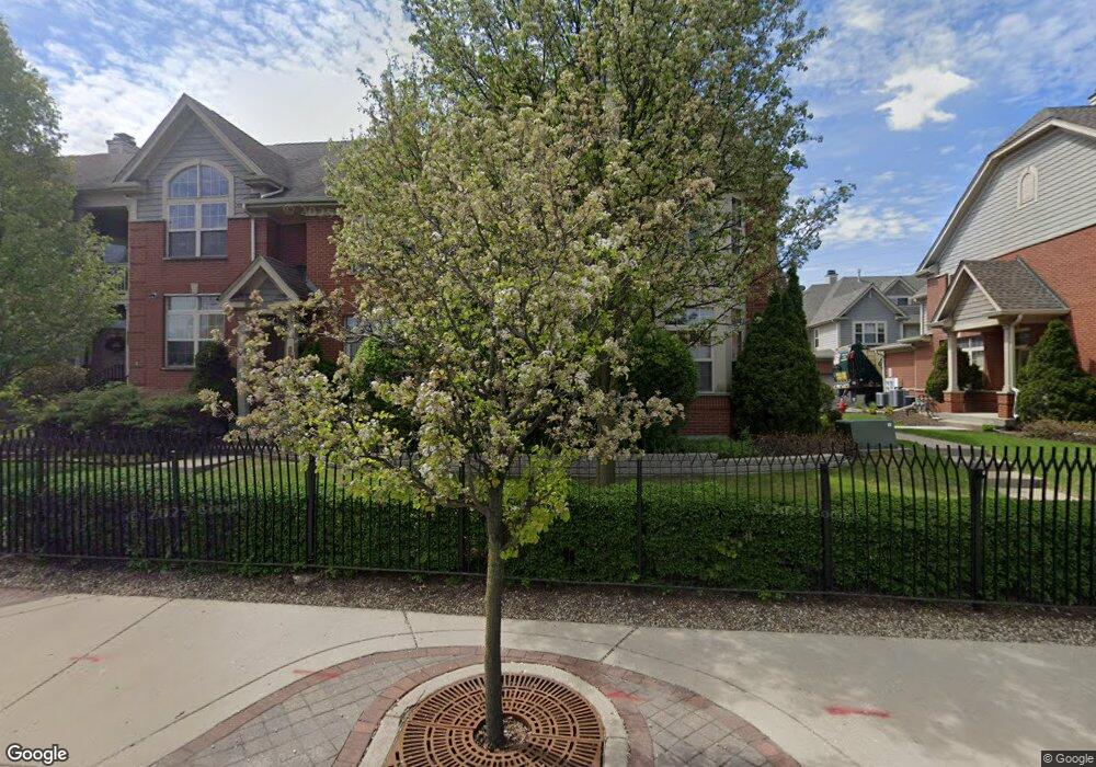
6311 Lincoln Ave Unit 131 Morton Grove, IL 60053
Estimated Value: $445,418 - $503,000
3
Beds
--
Bath
670,000
Sq Ft
$1/Sq Ft
Est. Value
About This Home
This home is located at 6311 Lincoln Ave Unit 131, Morton Grove, IL 60053 and is currently estimated at $470,855, approximately $0 per square foot. 6311 Lincoln Ave Unit 131 is a home located in Cook County with nearby schools including Park View Elementary School, Niles West High School, and St John Brebeuf School.
Ownership History
Date
Name
Owned For
Owner Type
Purchase Details
Closed on
May 8, 2013
Sold by
Borg Peggy Ann
Bought by
Borg Peggy Ann and Peggy A Borg Trust
Current Estimated Value
Purchase Details
Closed on
Jun 17, 2010
Sold by
Shakin Erwin and Shakin Phyllis H
Bought by
Borg Peggy Ann
Purchase Details
Closed on
Feb 21, 2006
Sold by
Parkway Bank & Trust Co
Bought by
Shakin Erwin and Shakin Phyllis H
Create a Home Valuation Report for This Property
The Home Valuation Report is an in-depth analysis detailing your home's value as well as a comparison with similar homes in the area
Home Values in the Area
Average Home Value in this Area
Purchase History
| Date | Buyer | Sale Price | Title Company |
|---|---|---|---|
| Borg Peggy Ann | -- | None Available | |
| Borg Peggy Ann | $305,000 | Baird & Warner Title Service | |
| Shakin Erwin | $407,000 | Cti |
Source: Public Records
Tax History Compared to Growth
Tax History
| Year | Tax Paid | Tax Assessment Tax Assessment Total Assessment is a certain percentage of the fair market value that is determined by local assessors to be the total taxable value of land and additions on the property. | Land | Improvement |
|---|---|---|---|---|
| 2024 | $9,136 | $37,599 | $2,555 | $35,044 |
| 2023 | $8,653 | $37,599 | $2,555 | $35,044 |
| 2022 | $8,653 | $37,599 | $2,555 | $35,044 |
| 2021 | $7,643 | $29,823 | $1,572 | $28,251 |
| 2020 | $8,343 | $29,823 | $1,572 | $28,251 |
| 2019 | $8,372 | $33,329 | $1,572 | $31,757 |
| 2018 | $6,982 | $25,561 | $1,424 | $24,137 |
| 2017 | $7,053 | $25,561 | $1,424 | $24,137 |
| 2016 | $6,911 | $25,561 | $1,424 | $24,137 |
| 2015 | $5,445 | $19,520 | $1,228 | $18,292 |
| 2014 | $5,457 | $19,520 | $1,228 | $18,292 |
| 2013 | $5,313 | $19,520 | $1,228 | $18,292 |
Source: Public Records
Map
Nearby Homes
- 8400 Callie Ave Unit D209
- 8400 Callie Ave Unit D207
- 8425 Callie Ave Unit 62
- 6330 Lincoln Ave Unit 2E
- 6330 Lincoln Ave Unit 2A
- 6411 Elm St
- 6140 Elm St
- 6166 Mayfair St Unit 33714
- 8300 Callie Ave Unit F314
- 8300 Callie Ave Unit F610
- 6163 Mayfair St Unit 102714
- 8380 Miami Ave
- 8712 Ferris Ave
- 6035 Lincoln Ave
- 6330 Hennings Ct
- 6338 Hennings Ct
- 6336 Hennings Ct
- 6332 Hennings Ct
- 6334 Hennings Ct
- 6340 Hennings Ct
- 6311 Lincoln Ave Unit 132
- 6311 Lincoln Ave
- 6313 Lincoln Ave
- 6307 Lincoln Ave Unit 134
- 6305 Lincoln Ave Unit 135
- 6309 Lincoln Ave Unit 133
- 6303 Lincoln Ave Unit 136
- 604 Callie Ct
- 6317 Lincoln Ave Unit 125
- 512 Callie Ct Unit 156
- 6319 Lincoln Ave Unit 124
- 510 Callie Ct Unit 155
- 508 Callie Ct Unit 154
- 506 Callie Ct Unit 153
- 602 Callie Ct Unit 141
- 504 Callie Ct Unit 152
- 6321 Lincoln Ave Unit 123
- 6321 Lincoln Ave Unit 1C
- 604 Callie Ct
- 502 Callie Ct Unit 151