Estimated Value: $280,911 - $333,000
3
Beds
2
Baths
1,568
Sq Ft
$195/Sq Ft
Est. Value
About This Home
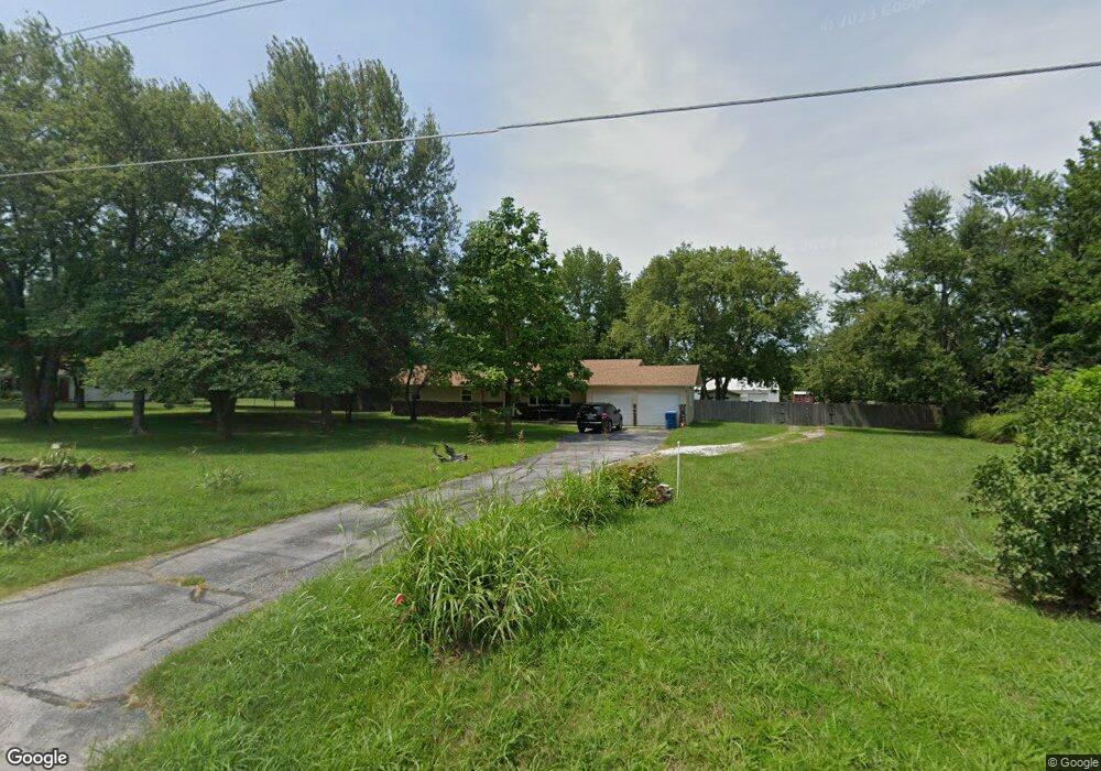
This home is located at 6311 N 25th St, Ozark, MO 65721 and is currently estimated at $306,478, approximately $195 per square foot. 6311 N 25th St is a home located in Christian County with nearby schools including West Elementary School, Ozark Middle School, and Ozark Junior High School.
Ownership History
Date
Name
Owned For
Owner Type
Purchase Details
Closed on
Jul 1, 2009
Sold by
Village Bank
Bought by
Scrivner William T and Scrivner Patricia J
Current Estimated Value
Home Financials for this Owner
Home Financials are based on the most recent Mortgage that was taken out on this home.
Original Mortgage
$119,013
Outstanding Balance
$77,991
Interest Rate
5.39%
Mortgage Type
Future Advance Clause Open End Mortgage
Estimated Equity
$228,487
Purchase Details
Closed on
Apr 2, 2009
Sold by
Wieland David L
Bought by
Village Bank
Create a Home Valuation Report for This Property
The Home Valuation Report is an in-depth analysis detailing your home's value as well as a comparison with similar homes in the area
Home Values in the Area
Average Home Value in this Area
Purchase History
| Date | Buyer | Sale Price | Title Company |
|---|---|---|---|
| Scrivner William T | -- | None Available | |
| Village Bank | $90,400 | None Available |
Source: Public Records
Mortgage History
| Date | Status | Borrower | Loan Amount |
|---|---|---|---|
| Open | Scrivner William T | $119,013 |
Source: Public Records
Tax History Compared to Growth
Tax History
| Year | Tax Paid | Tax Assessment Tax Assessment Total Assessment is a certain percentage of the fair market value that is determined by local assessors to be the total taxable value of land and additions on the property. | Land | Improvement |
|---|---|---|---|---|
| 2024 | $1,467 | $24,530 | -- | -- |
| 2023 | $1,467 | $24,530 | $0 | $0 |
| 2022 | $1,414 | $23,600 | $0 | $0 |
| 2021 | $1,337 | $23,090 | $0 | $0 |
| 2020 | $1,206 | $21,130 | $0 | $0 |
| 2019 | $1,206 | $21,130 | $0 | $0 |
| 2018 | $1,055 | $18,600 | $0 | $0 |
| 2017 | $1,055 | $18,600 | $0 | $0 |
| 2016 | $1,037 | $18,600 | $0 | $0 |
| 2015 | $1,037 | $18,600 | $18,600 | $0 |
| 2014 | $1,020 | $18,530 | $0 | $0 |
| 2013 | $10 | $18,530 | $0 | $0 |
| 2011 | $10 | $37,060 | $0 | $0 |
Source: Public Records
Map
Nearby Homes
- 6407 N 25th St
- 2404 Lamborn Ln
- 3015 W Bridlewood Trail
- 1099 N Farmer Branch Rd
- 2381 W Spring Dr
- 6789 N Fremont Rd
- 2488 W State Highway Cc
- 000 E State Highway Cc
- 5350 N 22nd St
- Lot 37 Town Centre Dr
- 3108 Winged Foot Dr
- 4642 E Palma Ct
- 3318 Winged Foot Dr
- 4210 Greenbriar Dr
- 6307 S Meadowview Dr
- 5103 N Graybrooke Dr
- 4217 Rolling Hills Dr
- 2414 E Academy
- 6323 Creeksedge Ct
- 6235 S Bluff Ridge Rd
- 6303 N 25th St
- 2410 Lamborn Ln
- 6411 N 25th St
- 2408 Lamborn Ln
- 2409 Lamborn Ln
- 2407 Lamborn Ln
- 2406 Lamborn Ln
- 2503 Walk On Dr
- 6507 N 25th St
- 2507 Walk On Dr
- 6406 N Martingale Cir
- 2485 Walk On Dr
- 2405 Lamborn Ln
- 2408 Westwind Dr
- 6410 N Martingale Cir
- 6402 N Martingale Cir
- 2511 Walk On Dr
- 6510 N Martingale Cir
- 2404 Westwind Dr
- 2409 Westwind Dr