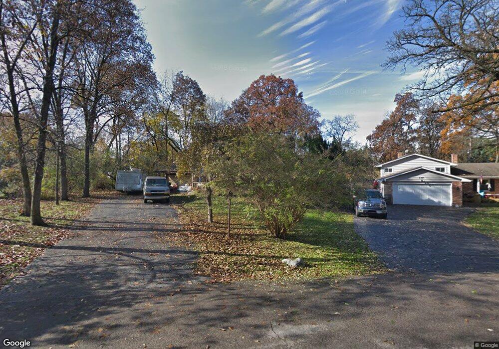
6311 Robin Ln Crystal Lake, IL 60014
Estimated Value: $345,000 - $390,000
--
Bed
--
Bath
1,584
Sq Ft
$232/Sq Ft
Est. Value
About This Home
This home is located at 6311 Robin Ln, Crystal Lake, IL 60014 and is currently estimated at $367,651, approximately $232 per square foot. 6311 Robin Ln is a home located in McHenry County with nearby schools including Coventry Elementary School, Hannah Beardsley Middle School, and Prairie Ridge High School.
Ownership History
Date
Name
Owned For
Owner Type
Purchase Details
Closed on
Nov 26, 2002
Sold by
Daugherty Charles E and Daugherty Berniece P
Bought by
Ullsmith John M and Ullsmith Karen L
Current Estimated Value
Home Financials for this Owner
Home Financials are based on the most recent Mortgage that was taken out on this home.
Original Mortgage
$198,000
Outstanding Balance
$85,111
Interest Rate
6.25%
Estimated Equity
$282,540
Create a Home Valuation Report for This Property
The Home Valuation Report is an in-depth analysis detailing your home's value as well as a comparison with similar homes in the area
Home Values in the Area
Average Home Value in this Area
Purchase History
| Date | Buyer | Sale Price | Title Company |
|---|---|---|---|
| Ullsmith John M | $212,000 | Universal Title Services Inc |
Source: Public Records
Mortgage History
| Date | Status | Borrower | Loan Amount |
|---|---|---|---|
| Open | Ullsmith John M | $198,000 |
Source: Public Records
Tax History Compared to Growth
Tax History
| Year | Tax Paid | Tax Assessment Tax Assessment Total Assessment is a certain percentage of the fair market value that is determined by local assessors to be the total taxable value of land and additions on the property. | Land | Improvement |
|---|---|---|---|---|
| 2024 | $7,507 | $105,932 | $22,598 | $83,334 |
| 2023 | $7,228 | $94,743 | $20,211 | $74,532 |
| 2022 | $7,140 | $89,744 | $18,241 | $71,503 |
| 2021 | $6,726 | $83,608 | $16,994 | $66,614 |
| 2020 | $6,581 | $80,648 | $16,392 | $64,256 |
| 2019 | $6,381 | $77,190 | $15,689 | $61,501 |
| 2018 | $5,981 | $71,307 | $14,493 | $56,814 |
| 2017 | $5,932 | $67,175 | $13,653 | $53,522 |
| 2016 | $5,798 | $63,004 | $12,805 | $50,199 |
| 2013 | -- | $58,920 | $11,945 | $46,975 |
Source: Public Records
Map
Nearby Homes
- 6102 Scott Ln
- 6504 Sands Rd
- 5912 Prairie Ridge Rd
- 4119 White Ash Rd
- 4717 Wallens Dr
- Lot#34 White Ash Rd
- 4010 Wyndwood Dr
- 6111 Pingree Rd
- 5805 Wild Plum Rd
- 797 Silk Oak Ln Unit 797
- 3814 Church Hill Ln
- 221 Mistwood Ln
- 6201 N Wyndwood Dr
- 845 E Terra Cotta Ave
- 3717 Lindsay Ln
- 539 Primrose Ln
- 5419 Rita Ave
- 6418 Carrie Ct
- 542 Blackthorn Dr
- 483 E Crystal Lake Ave
- 6307 Robin Ln
- 6310 S Il Route 31
- 4517 Sorrel Terrace
- 6402 S Il Route 31
- 4513 Sorrel Terrace
- 4512 Sorrel Terrace
- 6213 Robin Ln
- 4605 Daniel Dr
- 6302 Robin Ln
- 4606 Daniel Dr
- 4602 Valerie Dr
- 4518 Laurie Ln
- 4509 Sorrel Terrace
- 4522 Laurie Ln
- 6209 Robin Ln
- 6214 Robin Ln
- 4514 Laurie Ln
- 4605 Burman Dr
- 4606 Valerie Dr
- 4611 Daniel Dr