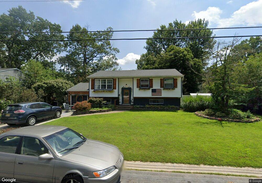
6312 Bensen Ave Mays Landing, NJ 08330
Estimated Value: $342,000 - $361,000
--
Bed
--
Bath
1,888
Sq Ft
$185/Sq Ft
Est. Value
About This Home
This home is located at 6312 Bensen Ave, Mays Landing, NJ 08330 and is currently estimated at $350,163, approximately $185 per square foot. 6312 Bensen Ave is a home located in Atlantic County with nearby schools including Joseph Shaner School, George L. Hess Educational Complex, and William Davies Middle School.
Ownership History
Date
Name
Owned For
Owner Type
Purchase Details
Closed on
Aug 5, 2022
Sold by
Merrill Norman L
Bought by
Turfus Larry James and Turfus Dorothy
Current Estimated Value
Home Financials for this Owner
Home Financials are based on the most recent Mortgage that was taken out on this home.
Original Mortgage
$130,000
Interest Rate
5.55%
Mortgage Type
New Conventional
Purchase Details
Closed on
Aug 29, 2001
Sold by
Larcher Donald D and Larcher Andrea L
Bought by
Merrill Norman L
Home Financials for this Owner
Home Financials are based on the most recent Mortgage that was taken out on this home.
Original Mortgage
$123,405
Interest Rate
7.05%
Purchase Details
Closed on
Aug 30, 1989
Sold by
Willoughby Phillip W and Willoughby Gretchen V
Bought by
Larcher Donald D and Larcher Andrea L
Create a Home Valuation Report for This Property
The Home Valuation Report is an in-depth analysis detailing your home's value as well as a comparison with similar homes in the area
Home Values in the Area
Average Home Value in this Area
Purchase History
| Date | Buyer | Sale Price | Title Company |
|---|---|---|---|
| Turfus Larry James | $250,000 | Trident Abstract Title | |
| Merrill Norman L | $129,900 | Fidelity National Title Ins | |
| Larcher Donald D | $104,000 | -- |
Source: Public Records
Mortgage History
| Date | Status | Borrower | Loan Amount |
|---|---|---|---|
| Previous Owner | Turfus Larry James | $130,000 | |
| Previous Owner | Merrill Norman L | $123,405 |
Source: Public Records
Tax History Compared to Growth
Tax History
| Year | Tax Paid | Tax Assessment Tax Assessment Total Assessment is a certain percentage of the fair market value that is determined by local assessors to be the total taxable value of land and additions on the property. | Land | Improvement |
|---|---|---|---|---|
| 2025 | $5,853 | $170,600 | $44,500 | $126,100 |
| 2024 | $5,853 | $170,600 | $44,500 | $126,100 |
| 2023 | $5,504 | $170,600 | $44,500 | $126,100 |
| 2022 | $5,504 | $170,600 | $44,500 | $126,100 |
| 2021 | $5,492 | $170,600 | $44,500 | $126,100 |
| 2020 | $5,492 | $170,600 | $44,500 | $126,100 |
| 2019 | $5,505 | $170,600 | $44,500 | $126,100 |
| 2018 | $5,312 | $170,600 | $44,500 | $126,100 |
| 2017 | $5,229 | $170,600 | $44,500 | $126,100 |
| 2016 | $5,082 | $170,600 | $44,500 | $126,100 |
| 2015 | $4,910 | $170,600 | $44,500 | $126,100 |
| 2014 | $5,165 | $196,600 | $52,500 | $144,100 |
Source: Public Records
Map
Nearby Homes
- 0 Harding Hwy Unit NJAC2019438
- 0 Harding Hwy Unit 597638
- 6314 Lance Ave
- 6301 Roberts Ave
- 6310 Phillips Ave
- 6301 Knight Ave
- 6206 Roberts Ave
- 37 Delancy Ct
- 6140 Robin Dr
- 150 Rainbow Dr
- 5 Camac Ave
- 80 Mill St
- 16 Holly Ct
- 24 Holly Ct
- 13 Hickory Ln
- 14 Hickory Ln
- 6062 Main St
- 10 Locust Ct
- 32 Hickory Ln Unit 215
- 43 Hickory Ln
- 6314 Bensen Ave
- 6310 Bensen Ave
- 6313 Harding Hwy
- 6317 Harding Hwy
- 6316 Bensen Ave
- 6308 Bensen Ave
- 6315 Bensen Ave
- 6311 Bensen Ave
- 6309 Harding Hwy
- 6319 Harding Hwy
- 6309 Benson Ave
- 6309 Bensen Ave
- 6330 Harding Hwy
- 6318 Bensen Ave
- 6316 Crocus St
- 6307 Harding Hwy
- 6306 Bensen Ave
- 6321 Harding Hwy
- 6318 Crocus St