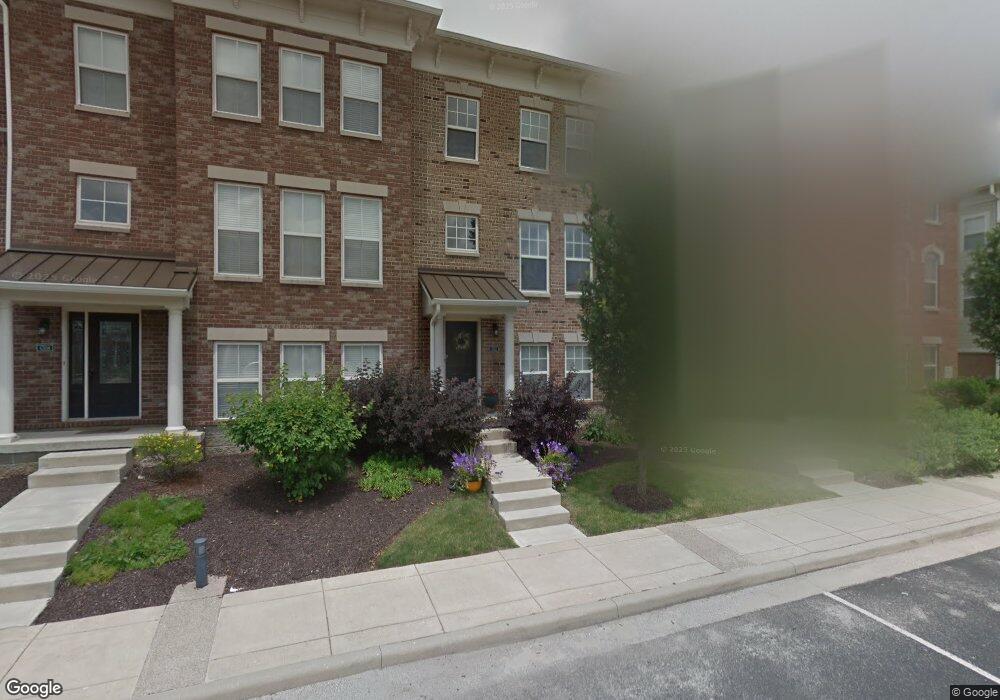
6312 Central Blvd Unit F Whitestown, IN 46075
Estimated Value: $323,720 - $333,000
3
Beds
4
Baths
2,352
Sq Ft
$140/Sq Ft
Est. Value
About This Home
This home is located at 6312 Central Blvd Unit F, Whitestown, IN 46075 and is currently estimated at $329,930, approximately $140 per square foot. 6312 Central Blvd Unit F is a home located in Boone County with nearby schools including Boone Meadow Elementary School, Zionsville West Middle School, and Zionsville Community High School.
Ownership History
Date
Name
Owned For
Owner Type
Purchase Details
Closed on
Feb 13, 2008
Sold by
Rh Of Indiana L P
Bought by
Keene Natalie F and Keene Bruce W
Current Estimated Value
Home Financials for this Owner
Home Financials are based on the most recent Mortgage that was taken out on this home.
Original Mortgage
$167,367
Outstanding Balance
$103,367
Interest Rate
5.75%
Mortgage Type
FHA
Estimated Equity
$226,563
Create a Home Valuation Report for This Property
The Home Valuation Report is an in-depth analysis detailing your home's value as well as a comparison with similar homes in the area
Home Values in the Area
Average Home Value in this Area
Purchase History
| Date | Buyer | Sale Price | Title Company |
|---|---|---|---|
| Keene Natalie F | -- | -- |
Source: Public Records
Mortgage History
| Date | Status | Borrower | Loan Amount |
|---|---|---|---|
| Open | Keene Natalie F | $167,367 |
Source: Public Records
Tax History Compared to Growth
Tax History
| Year | Tax Paid | Tax Assessment Tax Assessment Total Assessment is a certain percentage of the fair market value that is determined by local assessors to be the total taxable value of land and additions on the property. | Land | Improvement |
|---|---|---|---|---|
| 2025 | $7,043 | $316,800 | $48,800 | $268,000 |
| 2024 | $7,043 | $300,100 | $48,800 | $251,300 |
| 2023 | $7,062 | $301,700 | $48,800 | $252,900 |
| 2022 | $6,533 | $269,900 | $48,800 | $221,100 |
| 2021 | $5,531 | $229,100 | $48,800 | $180,300 |
| 2020 | $5,099 | $219,300 | $48,800 | $170,500 |
| 2019 | $4,726 | $209,400 | $48,800 | $160,600 |
| 2018 | $4,507 | $200,400 | $48,800 | $151,600 |
| 2017 | $4,346 | $194,100 | $48,800 | $145,300 |
| 2016 | $2,086 | $184,800 | $48,800 | $136,000 |
| 2014 | $1,960 | $177,200 | $48,800 | $128,400 |
| 2013 | $1,920 | $173,000 | $48,800 | $124,200 |
Source: Public Records
Map
Nearby Homes
- 6304 El Paso St
- 6561 Halsey St
- 6646 Halsey St
- 6634 Halsey St
- 6656 Halsey St
- 6680 Halsey St
- 6676 Halsey St
- 6614 Halsey St
- 6564 Halsey St
- 6162 Crabapple Dr
- 5986 Meadowview Dr
- 6682 Amherst Way
- 5380 Brandywine Dr
- 5278 Bramwell Ln
- 6743 Lexington Cir
- 6114 Hardwick Dr
- 7625 Beekman Terrace
- 6766 Wimbledon Dr
- 6406 Concord Dr
- 6655 Westminster Dr
- 6312 Central Blvd
- 6316 Central Blvd
- 6316 Central Blvd
- 6308 Central Blvd
- 6320 Central Blvd
- 6320 Central Blvd
- 6304 Central Blvd
- 6300 Central Blvd
- 6330 Central Blvd
- 6334 Central Blvd
- 6308 El Paso St
- 6300 El Paso St
- 6312 El Paso St
- 6316 El Paso St
- 6338 Central Blvd
- 6330 El Paso St
- 6334 El Paso St
- 6342 Central Blvd
- 6338 El Paso St
- 6309 Central Blvd