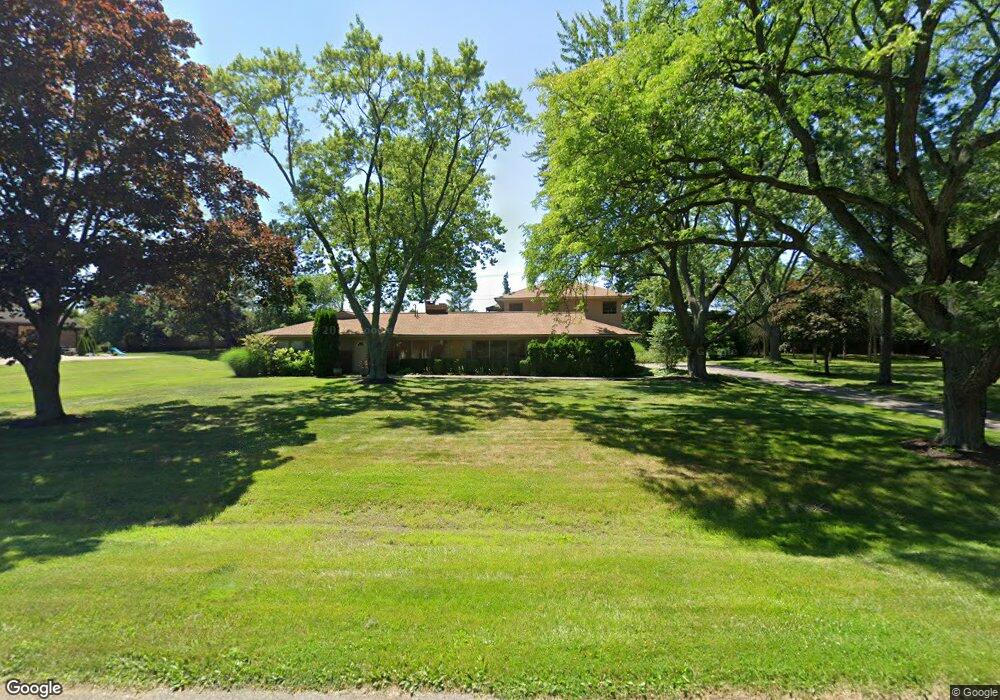
6312 Nicholas Dr Unit Bldg-Unit West Bloomfield, MI 48322
Estimated Value: $526,460 - $651,000
4
Beds
3
Baths
3,790
Sq Ft
$159/Sq Ft
Est. Value
About This Home
This home is located at 6312 Nicholas Dr Unit Bldg-Unit, West Bloomfield, MI 48322 and is currently estimated at $601,615, approximately $158 per square foot. 6312 Nicholas Dr Unit Bldg-Unit is a home located in Oakland County with nearby schools including Sheiko Elementary School, West Bloomfield Middle School, and Bloomfield Maples Montessori.
Ownership History
Date
Name
Owned For
Owner Type
Purchase Details
Closed on
Aug 28, 2019
Sold by
Stevens Dennis and Stevens Dennis
Bought by
Nave Andrew M and Nave Stephanie L
Current Estimated Value
Home Financials for this Owner
Home Financials are based on the most recent Mortgage that was taken out on this home.
Original Mortgage
$239,920
Outstanding Balance
$210,581
Interest Rate
3.7%
Mortgage Type
New Conventional
Estimated Equity
$391,034
Purchase Details
Closed on
Jun 13, 2017
Sold by
Stevens Dennis
Bought by
Stevens Dennis and The Dennis G Stevens Lving Tru
Purchase Details
Closed on
Sep 27, 2012
Sold by
Robinson Kellman Beth Ann
Bought by
Stevens Dennis
Purchase Details
Closed on
Aug 9, 2012
Sold by
Kellman Edward David
Bought by
Robinson Kellman Beth Ann
Create a Home Valuation Report for This Property
The Home Valuation Report is an in-depth analysis detailing your home's value as well as a comparison with similar homes in the area
Home Values in the Area
Average Home Value in this Area
Purchase History
| Date | Buyer | Sale Price | Title Company |
|---|---|---|---|
| Nave Andrew M | $299,900 | Embassy Title Agency Inc | |
| Stevens Dennis | -- | None Available | |
| Stevens Dennis | $219,500 | Interstate Title Inc | |
| Robinson Kellman Beth Ann | -- | None Available |
Source: Public Records
Mortgage History
| Date | Status | Borrower | Loan Amount |
|---|---|---|---|
| Open | Nave Andrew M | $239,920 |
Source: Public Records
Tax History Compared to Growth
Tax History
| Year | Tax Paid | Tax Assessment Tax Assessment Total Assessment is a certain percentage of the fair market value that is determined by local assessors to be the total taxable value of land and additions on the property. | Land | Improvement |
|---|---|---|---|---|
| 2024 | $4,768 | $204,800 | $0 | $0 |
| 2022 | $4,566 | $213,870 | $50,780 | $163,090 |
| 2021 | $6,938 | $193,040 | $0 | $0 |
| 2020 | $4,703 | $176,130 | $42,320 | $133,810 |
| 2018 | $4,611 | $159,780 | $33,710 | $126,070 |
| 2015 | -- | $128,110 | $0 | $0 |
| 2014 | -- | $119,810 | $0 | $0 |
| 2011 | -- | $111,870 | $0 | $0 |
Source: Public Records
Map
Nearby Homes
- 6151 Orchard Lake Rd Unit 103
- 6145 Orchard Lake Rd Unit 204
- 6109 Orchard Lake Rd Unit 101
- 6322 Pepper Hill St Unit 62
- 6222 Pepper Hill St
- 4161 Breckenridge Dr
- 6624 Mellow Wood Ln
- 4185 Pinehurst Ct
- 6843 Leslee Crest Dr
- 6769 Heather Heath
- 3865 Stonecrest Rd
- 5946 Cherry Crest Dr
- 6651 Hearthside Ct Unit 1
- 6614 Embers Ct
- 6621 Bellows Ct Unit 62
- 7027 Beverly Crest Dr
- 5780 Swan Lake Ct
- 7023 Wild Ridge Ln
- 6564 Alderley Way
- 5622 Powder Horn Dr
- 6312 Nicholas Dr
- 6338 Nicholas Dr
- 6286 Nicholas Dr
- 6329 Nicholas Dr
- 6260 Nicholas Dr
- 6364 Nicholas Dr
- 6275 Nicholas Dr
- 6359 Nicholas Dr
- 6373 Orchard Lake Rd
- 6310 Buxton Dr
- 6336 Buxton Dr
- 6234 Nicholas Dr
- 6284 Buxton Dr
- 6358 Buxton Dr
- 6258 Buxton Dr
- 6406 Buxton Dr
- 6227 Nicholas Dr
- 5600 W Maple Rd Unit A-170
- 6238 Buxton Dr
- 6200 Nicholas Dr