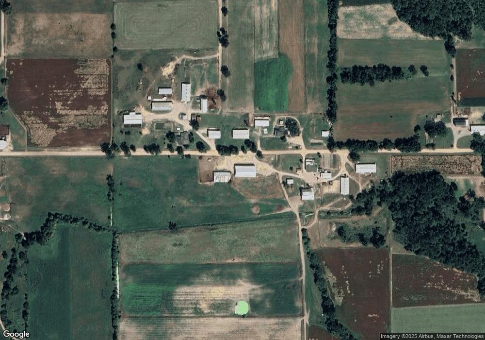
6315 Austin Rd Camden, MI 49232
Estimated Value: $488,000 - $657,067
--
Bed
--
Bath
1,772
Sq Ft
$330/Sq Ft
Est. Value
About This Home
This home is located at 6315 Austin Rd, Camden, MI 49232 and is currently estimated at $585,022, approximately $330 per square foot. 6315 Austin Rd is a home with nearby schools including Camden-Frontier K-8 School and Camden-Frontier High School.
Ownership History
Date
Name
Owned For
Owner Type
Purchase Details
Closed on
Jun 20, 2001
Sold by
Delagrange Delila J
Bought by
Delagrange Jerome and Delagrange Mary
Current Estimated Value
Purchase Details
Closed on
Jan 14, 1997
Sold by
Delagrange Jerome and Delagrange Mary
Bought by
Delagrange Jerome and Delagrange Mary
Purchase Details
Closed on
May 22, 1978
Sold by
Aldrich Esther M and Slaybaugh Carol
Bought by
Delagrange Jerome and Delagrange Mary
Create a Home Valuation Report for This Property
The Home Valuation Report is an in-depth analysis detailing your home's value as well as a comparison with similar homes in the area
Home Values in the Area
Average Home Value in this Area
Purchase History
| Date | Buyer | Sale Price | Title Company |
|---|---|---|---|
| Delagrange Jerome | -- | -- | |
| Delagrange Jerome | -- | -- | |
| Delagrange Jerome | $15,000 | -- |
Source: Public Records
Tax History Compared to Growth
Tax History
| Year | Tax Paid | Tax Assessment Tax Assessment Total Assessment is a certain percentage of the fair market value that is determined by local assessors to be the total taxable value of land and additions on the property. | Land | Improvement |
|---|---|---|---|---|
| 2025 | $3,264 | $360,000 | $0 | $0 |
| 2024 | $1,487 | $269,500 | $0 | $0 |
| 2023 | $1,417 | $194,100 | $0 | $0 |
| 2022 | $2,982 | $181,700 | $0 | $0 |
| 2021 | $2,890 | $181,100 | $0 | $0 |
| 2020 | $2,932 | $178,500 | $0 | $0 |
| 2019 | $2,019 | $134,300 | $0 | $0 |
| 2018 | $1,923 | $127,800 | $0 | $0 |
| 2017 | $1,866 | $128,540 | $0 | $0 |
| 2016 | $1,846 | $127,690 | $0 | $0 |
| 2015 | $853 | $127,690 | $0 | $0 |
| 2013 | $826 | $75,420 | $0 | $0 |
| 2012 | $1,115 | $101,740 | $0 | $0 |
Source: Public Records
Map
Nearby Homes
- 423 Fairview Ave
- 214 Miller St
- 202 W Bell St
- 8800 W Territorial Rd
- 0 W Territorial Rd Unit 25043960
- 15791 Rice Rd
- 5-50 County Rd S
- 8833 W Territorial Rd
- 9677 W Camden Rd
- 9874 Highland Dr
- 9911 Lake Dr
- 12208 Maple St
- 18405 County Road 2-50
- 14401 Woodbridge Rd
- 14934 Heather Ct
- 0 Dimmers Rd
- 14600 W Diane Dr
- 115 N Michigan St
- 13857 E Diane Dr
- 13791 E Diane Dr
- 6320 Austin Rd
- 6420 Austin Rd
- 6111 Austin Rd
- 6160 Austin Rd
- 6751 Austin Rd
- 5820 Austin Rd
- 6760 Austin Rd
- 5771 Austin Rd
- 5725 Austin Rd
- 6950 Austin Rd
- 5660 Austin Rd
- 6971 Austin Rd
- 5551 Austin Rd
- 7131 Austin Rd
- 5660 Sampson Rd
- 5451 Austin Rd
- 6180 Sampson Rd
- 6360 Sampson Rd
- 6960 Sampson Rd
- 6211 Sampson Rd
