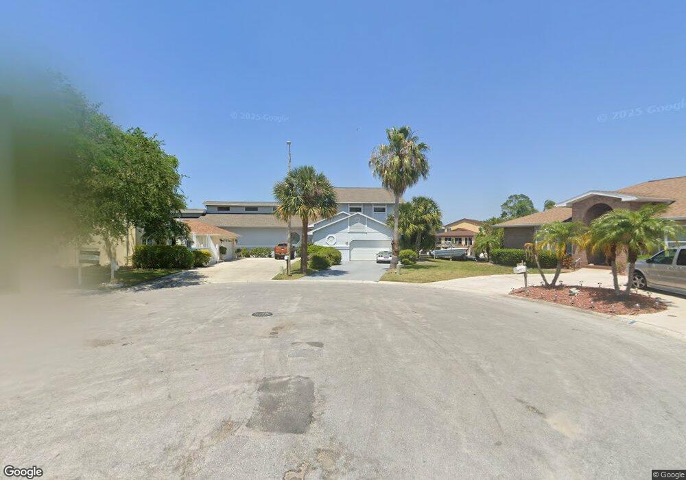
6316 Bayside Dr New Port Richey, FL 34652
New Port Richey West NeighborhoodEstimated Value: $913,652 - $1,063,000
--
Bed
3
Baths
4,235
Sq Ft
$237/Sq Ft
Est. Value
About This Home
This home is located at 6316 Bayside Dr, New Port Richey, FL 34652 and is currently estimated at $1,003,413, approximately $236 per square foot. 6316 Bayside Dr is a home located in Pasco County with nearby schools including Richey Elementary School, Gulf Middle School, and Gulf High School.
Ownership History
Date
Name
Owned For
Owner Type
Purchase Details
Closed on
Jul 1, 2025
Sold by
Jacobs Gary L and Jacobs Patricia C
Bought by
Gary L Jacobs And Patricia C Jacobs Revocable and Jacobs
Current Estimated Value
Purchase Details
Closed on
Jul 8, 1993
Sold by
Ercolano Raymond and Ercolano Josephine
Bought by
Jacobs Gary L and Jacobs Patricia C
Home Financials for this Owner
Home Financials are based on the most recent Mortgage that was taken out on this home.
Original Mortgage
$75,000
Interest Rate
7.52%
Create a Home Valuation Report for This Property
The Home Valuation Report is an in-depth analysis detailing your home's value as well as a comparison with similar homes in the area
Home Values in the Area
Average Home Value in this Area
Purchase History
| Date | Buyer | Sale Price | Title Company |
|---|---|---|---|
| Gary L Jacobs And Patricia C Jacobs Revocable | $100 | None Listed On Document | |
| Gary L Jacobs And Patricia C Jacobs Revocable | $100 | None Listed On Document | |
| Jacobs Gary L | $235,000 | -- |
Source: Public Records
Mortgage History
| Date | Status | Borrower | Loan Amount |
|---|---|---|---|
| Previous Owner | Jacobs Gary L | $75,000 |
Source: Public Records
Tax History Compared to Growth
Tax History
| Year | Tax Paid | Tax Assessment Tax Assessment Total Assessment is a certain percentage of the fair market value that is determined by local assessors to be the total taxable value of land and additions on the property. | Land | Improvement |
|---|---|---|---|---|
| 2025 | $5,705 | $373,930 | -- | -- |
| 2024 | $5,705 | $363,400 | -- | -- |
| 2023 | $5,501 | $352,820 | $0 | $0 |
| 2022 | $4,951 | $342,550 | $0 | $0 |
| 2021 | $4,865 | $332,580 | $115,232 | $217,348 |
| 2020 | $4,792 | $327,990 | $111,993 | $215,997 |
| 2019 | $4,719 | $320,620 | $0 | $0 |
| 2018 | $4,636 | $314,647 | $0 | $0 |
| 2017 | $4,620 | $314,647 | $0 | $0 |
| 2016 | $4,541 | $301,836 | $0 | $0 |
| 2015 | $4,603 | $299,738 | $0 | $0 |
| 2014 | $4,482 | $344,857 | $109,998 | $234,859 |
Source: Public Records
Map
Nearby Homes
- 6241 Bayside Dr
- 6316 Spoonbill Dr
- 6312 Spoonbill Dr
- 6340 Spoonbill Dr
- 6344 Spoonbill Dr
- 6225 Bayside Dr
- 4425 Gulfside Dr
- 6244 Spoonbill Dr
- 6513 Sand Shore Ln
- 6209 Spoonbill Dr
- 6340 Garland Ct
- 6517 Channelside Dr
- 6208 Spoonbill Dr
- 6306 Garland Ct
- 6116 Seaside Dr
- 6170 Seaside Dr
- 4335 Sanddollar Ct
- 4400 Sanddollar Ct
- 4330 Sanddollar Ct
- 4632 Heavens Way
- 6315 Bayside Dr
- 6310 Bayside Dr
- 6311 Bayside Dr
- 6305 Bayside Dr
- 6306 Bayside Dr
- 6332 Spoonbill Dr
- 6336 Spoonbill Dr
- 6328 Spoonbill Dr
- 6351 Fjord Way
- 6401 Fjord Way
- 6344 Spoonbill Dr
- 6345 Fjord Way
- 6320 Spoonbill Dr
- 6339 Fjord Way
- 6333 Fjord Way
- 6235 Bayside Dr
- 6327 Fjord Way
- 6236 Bayside Dr
- 6308 Spoonbill Dr
- 6321 Fjord Way