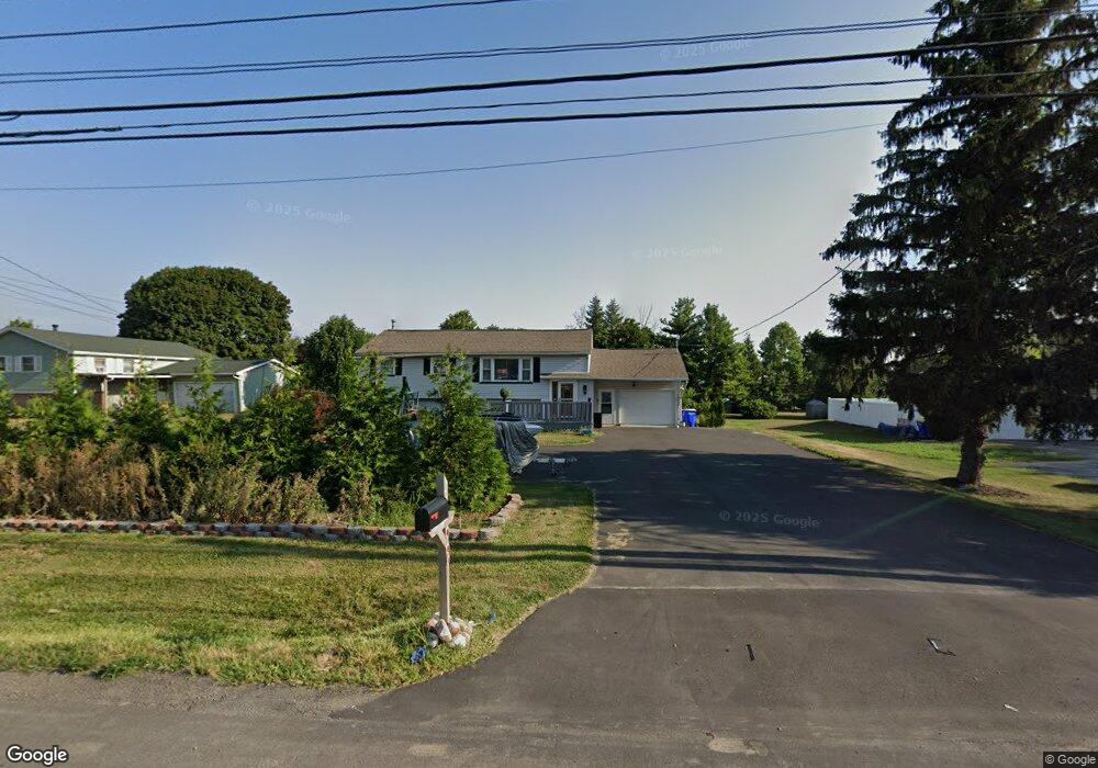
6316 Brockport Spencerport Rd Brockport, NY 14420
Estimated Value: $248,000 - $306,000
4
Beds
2
Baths
2,237
Sq Ft
$124/Sq Ft
Est. Value
About This Home
This home is located at 6316 Brockport Spencerport Rd, Brockport, NY 14420 and is currently estimated at $277,557, approximately $124 per square foot. 6316 Brockport Spencerport Rd is a home located in Monroe County with nearby schools including Ginther Elementary School, Barclay Elementary School, and Fred W. Hill Elementary School.
Ownership History
Date
Name
Owned For
Owner Type
Purchase Details
Closed on
Oct 28, 2022
Sold by
Arnez Enterprises Inc
Bought by
Paige Johnnie A
Current Estimated Value
Purchase Details
Closed on
Mar 8, 2022
Sold by
Paige Johnnie A
Bought by
Arnez Enterprises Inc
Purchase Details
Closed on
Sep 12, 2007
Sold by
Roth Timothy
Bought by
Paige Johnnie
Home Financials for this Owner
Home Financials are based on the most recent Mortgage that was taken out on this home.
Original Mortgage
$124,611
Interest Rate
6.63%
Mortgage Type
FHA
Purchase Details
Closed on
Oct 29, 2004
Sold by
Brongo Robert A
Bought by
Roth Timothy P
Create a Home Valuation Report for This Property
The Home Valuation Report is an in-depth analysis detailing your home's value as well as a comparison with similar homes in the area
Home Values in the Area
Average Home Value in this Area
Purchase History
| Date | Buyer | Sale Price | Title Company |
|---|---|---|---|
| Paige Johnnie A | -- | -- | |
| Arnez Enterprises Inc | -- | None Listed On Document | |
| Paige Johnnie | $127,700 | Stephen D Rogoff | |
| Roth Timothy P | $116,500 | -- |
Source: Public Records
Mortgage History
| Date | Status | Borrower | Loan Amount |
|---|---|---|---|
| Previous Owner | Paige Johnnie | $124,611 |
Source: Public Records
Tax History Compared to Growth
Tax History
| Year | Tax Paid | Tax Assessment Tax Assessment Total Assessment is a certain percentage of the fair market value that is determined by local assessors to be the total taxable value of land and additions on the property. | Land | Improvement |
|---|---|---|---|---|
| 2024 | $4,265 | $224,100 | $32,300 | $191,800 |
| 2023 | $4,265 | $161,100 | $29,500 | $131,600 |
| 2022 | $4,346 | $161,100 | $29,500 | $131,600 |
| 2021 | $4,953 | $135,100 | $29,500 | $105,600 |
| 2020 | $4,231 | $135,100 | $29,500 | $105,600 |
| 2019 | $4,383 | $119,700 | $29,500 | $90,200 |
| 2018 | $3,947 | $119,700 | $29,500 | $90,200 |
| 2017 | $2,238 | $121,500 | $29,500 | $92,000 |
| 2016 | $4,383 | $121,500 | $29,500 | $92,000 |
| 2015 | -- | $121,500 | $29,500 | $92,000 |
| 2014 | -- | $121,500 | $29,500 | $92,000 |
Source: Public Records
Map
Nearby Homes
- 31 Fairview Dr
- 16 Wood Trace
- 6151 Brockport Spencerport Rd
- 11 Keystone Ct
- 0 Sweden Walker Rd Unit R1289251
- 0 Sweden Walker Rd Unit R1286894
- 0 Sweden Walker Rd Unit R1286906
- 6084/4 Brockport Spencerport Rd Unit 4
- 69 Fair St
- 45 Chappell St
- 202 Main St
- 51 College St
- 62 Monroe Ave
- 0 Lake Rd Unit R1632132
- 0 Lake Unit R1622987
- 0 Lake Unit R1616126
- 00 Lake Rd
- 78 Erie St
- 185 Lyman St
- 171 Erie St
- 6324 Brockport Spencerport Rd
- 6324 Brockport Spencerport Rd
- 6284 Brockport Spencerport Rd
- 2 Sherry Ln
- 6280 Brockport Spencerport Rd
- 6 Sherry Ln
- 6334 Brockport Spencerport Rd
- 35 Highview Cir
- 33 Highview Cir
- 5 Sherry Ln
- 10 Sherry Ln
- 6276 Brockport Spencerport Rd
- 6338 Brockport Spencerport Rd
- 37 Highview Cir
- 49 Fairview Dr
- 9 Sherry Ln
- 31 Highview Cir
- 50 Fairview Dr
- 1010 Transit Way
- 6342 Brockport Spencerport Rd