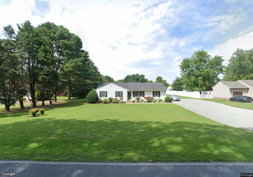
6316 Rockawalkin Rd Salisbury, MD 21801
South Salisbury NeighborhoodEstimated Value: $267,400 - $305,000
--
Bed
2
Baths
1,452
Sq Ft
$198/Sq Ft
Est. Value
About This Home
This home is located at 6316 Rockawalkin Rd, Salisbury, MD 21801 and is currently estimated at $287,600, approximately $198 per square foot. 6316 Rockawalkin Rd is a home located in Wicomico County with nearby schools including Westside Primary School, Westside Intermediate School, and Salisbury Middle School.
Ownership History
Date
Name
Owned For
Owner Type
Purchase Details
Closed on
May 25, 1995
Sold by
Holloway Wayne O and Holloway Frances E
Bought by
Jones Jeffrey L and Jones Lisa A
Current Estimated Value
Purchase Details
Closed on
Feb 22, 1991
Sold by
Nelson Ronald B and Nelson Mary L
Bought by
Holloway Wayne O and Holloway Frances E
Home Financials for this Owner
Home Financials are based on the most recent Mortgage that was taken out on this home.
Original Mortgage
$61,000
Interest Rate
9.29%
Purchase Details
Closed on
Jan 16, 1991
Sold by
Tingle Paul J
Bought by
Nelson Ronald B and Nelson Mary L
Home Financials for this Owner
Home Financials are based on the most recent Mortgage that was taken out on this home.
Original Mortgage
$61,000
Interest Rate
9.29%
Create a Home Valuation Report for This Property
The Home Valuation Report is an in-depth analysis detailing your home's value as well as a comparison with similar homes in the area
Home Values in the Area
Average Home Value in this Area
Purchase History
| Date | Buyer | Sale Price | Title Company |
|---|---|---|---|
| Jones Jeffrey L | $84,900 | -- | |
| Holloway Wayne O | $76,400 | -- | |
| Nelson Ronald B | $14,000 | -- |
Source: Public Records
Mortgage History
| Date | Status | Borrower | Loan Amount |
|---|---|---|---|
| Previous Owner | Holloway Wayne O | $61,000 | |
| Previous Owner | Nelson Ronald B | $230,000 | |
| Closed | Jones Jeffrey L | -- |
Source: Public Records
Tax History Compared to Growth
Tax History
| Year | Tax Paid | Tax Assessment Tax Assessment Total Assessment is a certain percentage of the fair market value that is determined by local assessors to be the total taxable value of land and additions on the property. | Land | Improvement |
|---|---|---|---|---|
| 2025 | $1,763 | $195,433 | $0 | $0 |
| 2024 | $1,763 | $177,667 | $0 | $0 |
| 2023 | $1,641 | $159,900 | $39,300 | $120,600 |
| 2022 | $1,668 | $157,800 | $0 | $0 |
| 2021 | $1,644 | $155,700 | $0 | $0 |
| 2020 | $1,644 | $153,600 | $35,300 | $118,300 |
| 2019 | $1,589 | $146,067 | $0 | $0 |
| 2018 | $1,517 | $138,533 | $0 | $0 |
| 2017 | $1,438 | $131,000 | $0 | $0 |
| 2016 | -- | $129,400 | $0 | $0 |
| 2015 | $1,358 | $127,800 | $0 | $0 |
| 2014 | $1,358 | $126,200 | $0 | $0 |
Source: Public Records
Map
Nearby Homes
- 6209 Rockawalkin Rd
- 6229 Ayrshire Dr
- 6177 Ayrshire Dr
- 26924 Black Horse Run
- 6151 Trails End Ct
- 27124 Patriot Dr
- 6058 Gloucester Ct
- 26882 Pratt Rd
- 5991 Hounds Bay Cir
- 5973 Smithys Ln
- 5709 Royal Mile Blvd
- 5703 Royal Mile Blvd
- 5688 Kirkpatrick Ct
- 5686 N Nithsdale Dr Unit N
- 26694 Pemberton Dr
- 0 King Stuart Dr Unit MDWC2018516
- 6061 Bridle Ct
- 6152 Cadagon Ct
- 6147 Cadagon Ct
- 27620 Appaloosa Dr
- 6300 Rockawalkin Rd
- 6320 Rockawalkin Rd
- 26983 Nanticoke Rd
- 6325 Rockawalkin Rd
- 26969 Nanticoke Rd
- 6307 Rockawalkin Rd
- 6307 Rockawalkin Rd
- 6286 Rockawalkin Rd
- 6275 Cheshire Ct
- 26955 Nanticoke Rd
- 27035 Nanticoke Rd
- 6272 Rockawalkin Rd
- 6279 Rockawalkin Rd
- 26989 Hamden Dr
- 26968 Nanticoke Rd
- 6271 Cheshire Ct
- 26941 Nanticoke Rd
- 6272 Cheshire Ct
- 27034 Nanticoke Rd
- 6263 Rockawalkin Rd