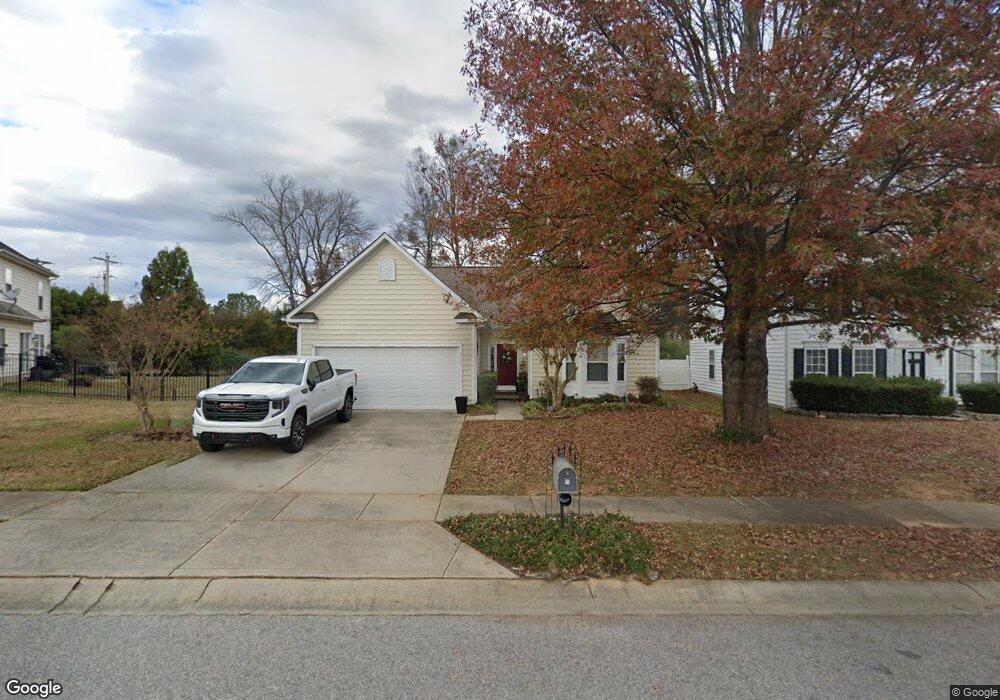
6316 Trevor Simpson Dr Indian Trail, NC 28079
Estimated Value: $382,000 - $410,000
4
Beds
2
Baths
1,728
Sq Ft
$229/Sq Ft
Est. Value
About This Home
This home is located at 6316 Trevor Simpson Dr, Indian Trail, NC 28079 and is currently estimated at $395,549, approximately $228 per square foot. 6316 Trevor Simpson Dr is a home located in Union County with nearby schools including Poplin Elementary School, Porter Ridge Middle School, and Porter Ridge High School.
Ownership History
Date
Name
Owned For
Owner Type
Purchase Details
Closed on
Sep 20, 1999
Sold by
Nvr Inc
Bought by
Perala Paul L and Perala Meta R
Current Estimated Value
Home Financials for this Owner
Home Financials are based on the most recent Mortgage that was taken out on this home.
Original Mortgage
$138,650
Outstanding Balance
$39,912
Interest Rate
7.91%
Estimated Equity
$355,637
Create a Home Valuation Report for This Property
The Home Valuation Report is an in-depth analysis detailing your home's value as well as a comparison with similar homes in the area
Home Values in the Area
Average Home Value in this Area
Purchase History
| Date | Buyer | Sale Price | Title Company |
|---|---|---|---|
| Perala Paul L | $146,000 | -- |
Source: Public Records
Mortgage History
| Date | Status | Borrower | Loan Amount |
|---|---|---|---|
| Open | Perala Paul L | $138,650 |
Source: Public Records
Tax History
| Year | Tax Paid | Tax Assessment Tax Assessment Total Assessment is a certain percentage of the fair market value that is determined by local assessors to be the total taxable value of land and additions on the property. | Land | Improvement |
|---|---|---|---|---|
| 2025 | $2,543 | $375,800 | $0 | $0 |
| 2024 | $2,228 | $254,000 | $50,700 | $203,300 |
| 2023 | $2,120 | $254,000 | $50,700 | $203,300 |
| 2022 | $2,165 | $254,000 | $50,700 | $203,300 |
| 2021 | $2,133 | $254,000 | $50,700 | $203,300 |
| 2020 | $1,276 | $163,700 | $28,000 | $135,700 |
| 2019 | $1,731 | $163,700 | $28,000 | $135,700 |
| 2018 | $1,276 | $163,700 | $28,000 | $135,700 |
| 2017 | $1,361 | $163,700 | $28,000 | $135,700 |
| 2016 | $1,711 | $163,700 | $28,000 | $135,700 |
| 2015 | $1,355 | $163,700 | $28,000 | $135,700 |
| 2014 | $1,226 | $171,670 | $40,000 | $131,670 |
Source: Public Records
Map
Nearby Homes
- 1541 Banham Dr
- 1433 Harleston St
- 4005 Sages Ave
- 3805 Balsam St Unit 219
- 3805 Balsam St Unit 322
- 3805 Balsam St Unit 223
- 3805 Balsam St Unit 321
- 6931 Creft Cir
- 3800 York Aly
- 3509 Mayhurst Dr
- 3704 Brookstone Trail
- 6310 Olsen Ln
- 3804 Lincoln Ct
- 6726 1st Ave
- 1069 Mapletree Ln
- 1092 Mapletree Ln
- 1010 Mapletree Ln
- 1085 Mapletree Ln
- 1077 Mapletree Ln
- 3610 Esther St
- 6314 Trevor Simpson Dr
- 6318 Trevor Simpson Dr
- 6312 Trevor Simpson Dr
- 4102 Mother Teresa Dr
- 4014 Mother Teresa Dr
- 6311 Trevor Simpson Dr
- 6311 Trevor Simpson Dr
- 6311 Trevor Simpson Dr Unit 55
- 5600 Ginger Ln
- 4012 Mother Teresa Dr
- 6309 Trevor Simpson Dr
- 6308 Trevor Simpson Dr
- 5602 Ginger Ln
- 4010 Mother Teresa Dr
- 6305 Trevor Simpson Dr
- 6306 Trevor Simpson Dr
- 6306 Colby Ct
- 6304 Colby Ct
- 6304 Trevor Simpson Dr
- 5601 Ginger Ln
Your Personal Tour Guide
Ask me questions while you tour the home.