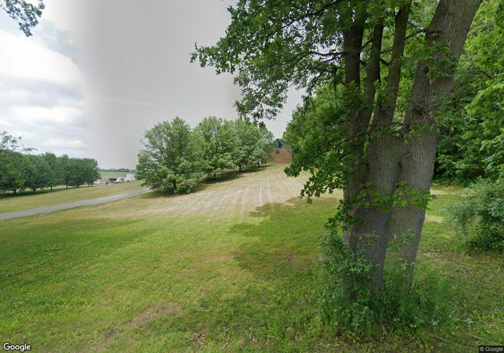
6317 E 350 N Rolling Prairie, IN 46371
Estimated Value: $329,000 - $451,925
2
Beds
3
Baths
1,456
Sq Ft
$272/Sq Ft
Est. Value
About This Home
This home is located at 6317 E 350 N, Rolling Prairie, IN 46371 and is currently estimated at $396,731, approximately $272 per square foot. 6317 E 350 N is a home with nearby schools including New Prairie High School and Sacred Heart Apostolic School.
Create a Home Valuation Report for This Property
The Home Valuation Report is an in-depth analysis detailing your home's value as well as a comparison with similar homes in the area
Tax History
| Year | Tax Paid | Tax Assessment Tax Assessment Total Assessment is a certain percentage of the fair market value that is determined by local assessors to be the total taxable value of land and additions on the property. | Land | Improvement |
|---|---|---|---|---|
| 2025 | $6,573 | $362,200 | $62,500 | $299,700 |
| 2024 | $4,180 | $332,800 | $62,500 | $270,300 |
| 2022 | $4,056 | $196,700 | $57,000 | $139,700 |
| 2021 | $4,159 | $190,900 | $57,000 | $133,900 |
| 2020 | $4,238 | $190,900 | $57,000 | $133,900 |
| 2019 | $4,414 | $200,300 | $62,500 | $137,800 |
| 2018 | $3,743 | $178,000 | $47,200 | $130,800 |
| 2017 | $3,492 | $165,400 | $41,900 | $123,500 |
| 2016 | $3,868 | $171,000 | $41,900 | $129,100 |
| 2014 | $3,550 | $179,900 | $31,500 | $148,400 |
Source: Public Records
Map
Nearby Homes
- 3812 N 600 E
- 67 Acres E 300 N
- 6361 E State Road 2
- 8416 E 400 N
- 7674 Potato Hole Ct
- 6798 E 350 N
- 8256 E State Road 2
- 0 E Chicago Rd Unit NRA832986
- 306 W Michigan St
- 3921 N 350 E
- 3099 N 350 E
- 2898 N 350 E
- 3429 E Sand Ridge Rd
- 4404 N 350 E
- 2897 N Morning Glory Ave
- 2945 N Morning Glory Ave Unit 73
- 2983 N Morning Glory Ave Unit 72
- 2979 N Morning Glory Ave
- 2893 N Morning Glory Ave
- 55554 County Line Rd
Your Personal Tour Guide
Ask me questions while you tour the home.