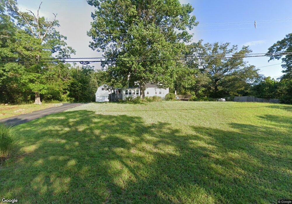
6317 Harley Ave Mays Landing, NJ 08330
Estimated Value: $340,355 - $376,000
--
Bed
--
Bath
1,908
Sq Ft
$190/Sq Ft
Est. Value
About This Home
This home is located at 6317 Harley Ave, Mays Landing, NJ 08330 and is currently estimated at $362,339, approximately $189 per square foot. 6317 Harley Ave is a home located in Atlantic County with nearby schools including Joseph Shaner School, George L. Hess Educational Complex, and William Davies Middle School.
Ownership History
Date
Name
Owned For
Owner Type
Purchase Details
Closed on
Aug 28, 2024
Sold by
Branks Lawrence A
Bought by
Houck Karen L and Houck Robert J
Current Estimated Value
Home Financials for this Owner
Home Financials are based on the most recent Mortgage that was taken out on this home.
Original Mortgage
$325,000
Outstanding Balance
$321,523
Interest Rate
6.73%
Mortgage Type
VA
Estimated Equity
$40,816
Purchase Details
Closed on
Aug 7, 2003
Sold by
Branks Lawrence A and Branks Sherry L
Bought by
Branks Lawrence A
Purchase Details
Closed on
Apr 26, 1996
Sold by
Collective Bank
Bought by
Branks Lawrence A and Branks Sherry L
Home Financials for this Owner
Home Financials are based on the most recent Mortgage that was taken out on this home.
Original Mortgage
$36,000
Interest Rate
8.37%
Create a Home Valuation Report for This Property
The Home Valuation Report is an in-depth analysis detailing your home's value as well as a comparison with similar homes in the area
Home Values in the Area
Average Home Value in this Area
Purchase History
| Date | Buyer | Sale Price | Title Company |
|---|---|---|---|
| Houck Karen L | $325,000 | Atlantic Shore Title | |
| Branks Lawrence A | -- | -- | |
| Branks Lawrence A | -- | -- |
Source: Public Records
Mortgage History
| Date | Status | Borrower | Loan Amount |
|---|---|---|---|
| Open | Houck Karen L | $325,000 | |
| Previous Owner | Branks Lawrence A | $36,000 |
Source: Public Records
Tax History Compared to Growth
Tax History
| Year | Tax Paid | Tax Assessment Tax Assessment Total Assessment is a certain percentage of the fair market value that is determined by local assessors to be the total taxable value of land and additions on the property. | Land | Improvement |
|---|---|---|---|---|
| 2025 | $6,100 | $177,800 | $46,800 | $131,000 |
| 2024 | $6,100 | $177,800 | $46,800 | $131,000 |
| 2023 | $5,736 | $177,800 | $46,800 | $131,000 |
| 2022 | $5,736 | $177,800 | $46,800 | $131,000 |
| 2021 | $5,723 | $177,800 | $46,800 | $131,000 |
| 2020 | $5,723 | $177,800 | $46,800 | $131,000 |
| 2019 | $5,738 | $177,800 | $46,800 | $131,000 |
| 2018 | $5,537 | $177,800 | $46,800 | $131,000 |
| 2017 | $5,450 | $177,800 | $46,800 | $131,000 |
| 2016 | $5,297 | $177,800 | $46,800 | $131,000 |
| 2015 | $5,117 | $177,800 | $46,800 | $131,000 |
| 2014 | $5,123 | $195,000 | $53,500 | $141,500 |
Source: Public Records
Map
Nearby Homes
- 6141 Harley Ave
- 6752 Harding Hwy
- 0 Merton Ave Unit NJAC2020566
- 6361 Beacon Ave
- 0 South Ave
- 6839 Harding Hwy
- 0 Railroad Blvd
- 0 Wheeling Ave Unit NJAC2018470
- 6414 Strand Ave
- 6422 Strand Ave
- 1368 Sitka Ave
- 508 13th Ave
- 1362 Annapolis Ave
- 6917 Market St
- 5485 Landis Ave
- 329 Millville Ave
- 37 Delancy Ct
- 301 Broad St
- 1516 Thirty Third St
- 6310 Phillips Ave
- 6307 Harley Ave
- 6323 Harley Ave
- 6395 Harley Ave
- 6235 Harley Ave
- 6375 Harley Ave
- 6215 Harley Ave
- 6203 Harley Ave
- 6391 Harley Ave
- 6383 Harley Ave
- 6770 Harding Hwy
- 6144 Harley Ave
- 6760 Harding Hwy
- 6352 Pittsburgh Ave
- 6734 Harding Hwy
- 6776 Harding Hwy
- 6730 Harding Hwy
- 0 Merton Ave Unit 441280
- 0 Merton Ave Unit 443798
- 0 Merton Ave Unit 499650
- 0 Merton Ave Unit 584290