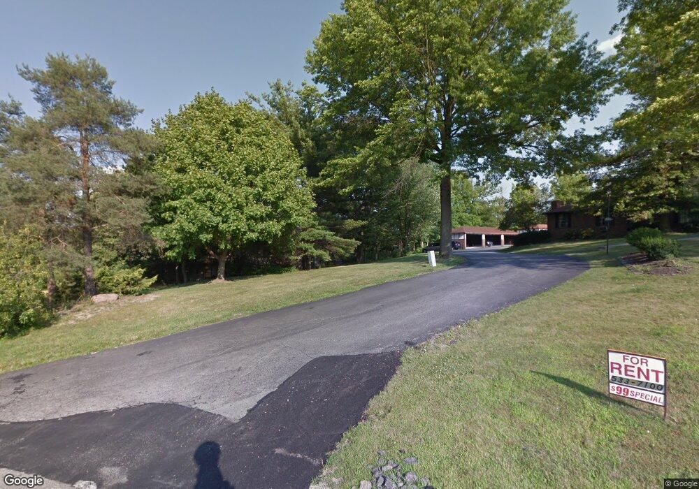
6317 Saint Andrews Dr Canfield, OH 44406
Estimated Value: $199,738 - $227,000
3
Beds
3
Baths
1,484
Sq Ft
$146/Sq Ft
Est. Value
About This Home
This home is located at 6317 Saint Andrews Dr, Canfield, OH 44406 and is currently estimated at $216,185, approximately $145 per square foot. 6317 Saint Andrews Dr is a home located in Mahoning County with nearby schools including Canfield Village Middle School, Canfield High School, and Youngstown Christian School.
Ownership History
Date
Name
Owned For
Owner Type
Purchase Details
Closed on
Sep 5, 1995
Sold by
Beatrice Bredel Family T
Bought by
Behmer James
Current Estimated Value
Home Financials for this Owner
Home Financials are based on the most recent Mortgage that was taken out on this home.
Original Mortgage
$86,300
Interest Rate
7.55%
Mortgage Type
New Conventional
Purchase Details
Closed on
Nov 18, 1991
Bought by
Bredel Beatrice Fam Tr
Create a Home Valuation Report for This Property
The Home Valuation Report is an in-depth analysis detailing your home's value as well as a comparison with similar homes in the area
Home Values in the Area
Average Home Value in this Area
Purchase History
| Date | Buyer | Sale Price | Title Company |
|---|---|---|---|
| Behmer James | $107,900 | -- | |
| Bredel Beatrice Fam Tr | -- | -- |
Source: Public Records
Mortgage History
| Date | Status | Borrower | Loan Amount |
|---|---|---|---|
| Closed | Behmer James | $86,300 |
Source: Public Records
Tax History
| Year | Tax Paid | Tax Assessment Tax Assessment Total Assessment is a certain percentage of the fair market value that is determined by local assessors to be the total taxable value of land and additions on the property. | Land | Improvement |
|---|---|---|---|---|
| 2025 | $2,362 | $57,760 | $5,250 | $52,510 |
| 2024 | $2,362 | $57,760 | $5,250 | $52,510 |
| 2023 | $2,323 | $57,760 | $5,250 | $52,510 |
| 2022 | $2,315 | $45,980 | $3,990 | $41,990 |
| 2021 | $2,242 | $45,980 | $3,990 | $41,990 |
| 2020 | $2,252 | $45,980 | $3,990 | $41,990 |
| 2019 | $2,199 | $40,330 | $3,500 | $36,830 |
| 2018 | $2,124 | $40,330 | $3,500 | $36,830 |
| 2017 | $2,121 | $40,330 | $3,500 | $36,830 |
| 2016 | $2,302 | $41,700 | $5,250 | $36,450 |
| 2015 | $2,251 | $41,700 | $5,250 | $36,450 |
| 2014 | $2,260 | $41,700 | $5,250 | $36,450 |
| 2013 | $2,178 | $41,700 | $5,250 | $36,450 |
Source: Public Records
Map
Nearby Homes
- 4062 Saint Andrews Ct Unit 1
- 6152 Southern Hills Ct
- 4032 Saint Andrews Ct Unit 1
- 4144 Fairway Dr
- 3649 Indian Run Dr Unit 7
- 3770 Fairway Dr
- 3641 Mercedes Place Unit 6c
- 6960 Lockwood Blvd
- 6850 Abbey Rd N
- 1183 Red Tail Hawk Dr Unit 5
- 6843 Abbey Rd
- 1327 Huntington Ct
- 1123 Red Tail Hawk Ct Unit 1
- 1323 Red Tail Hawk Ct Unit 4
- 1163 Red Tail Hawk Ct Unit 1
- 5034 Macy Ln
- 6060 S Raccoon Rd
- 7171 Paddington Rowe
- 1327 Fox Run Dr
- 7245 Hanbury Close
- 6311 Saint Andrews Dr
- 6297 Saint Andrews Dr
- 6295-6297 Saint Andrews Dr
- 6295 & 6297 Saint Andrews Dr
- 6295 Saint Andrews Dr
- 3894 Indian Run Dr
- 3955 Tyler Dr
- 6271 Saint Andrews Dr
- 3935 Tyler Dr
- 3876 Indian Run Dr Unit 7
- 3876 Indian Run Dr Unit 6
- 3876 Indian Run Dr Unit 5
- 3876 Indian Run Dr Unit 4
- 3876 Indian Run Dr Unit 3
- 3876 Indian Run Dr Unit 2
- 3876 Indian Run Dr Unit 1
- 6369 Saint Andrews Dr
- 3911 Tyler Dr
- 6250 Saint Andrews Dr
- 3895 Indian Run Dr Unit 12
Your Personal Tour Guide
Ask me questions while you tour the home.