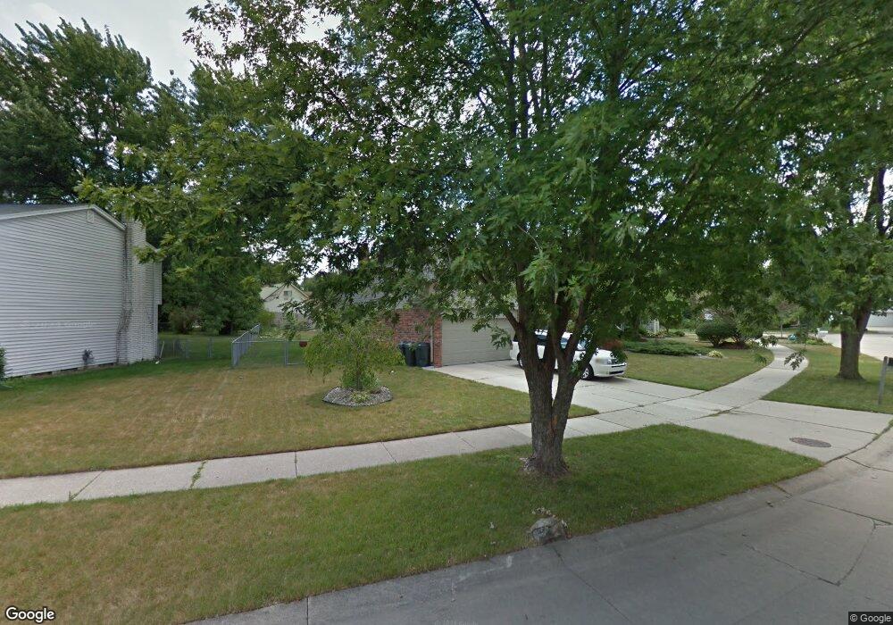
6319 New England Ln Canton, MI 48187
Estimated Value: $369,473 - $444,000
4
Beds
3
Baths
1,666
Sq Ft
$240/Sq Ft
Est. Value
About This Home
This home is located at 6319 New England Ln, Canton, MI 48187 and is currently estimated at $399,118, approximately $239 per square foot. 6319 New England Ln is a home located in Wayne County with nearby schools including Canton High School, Discovery Middle School, and Salem High School.
Ownership History
Date
Name
Owned For
Owner Type
Purchase Details
Closed on
May 6, 2010
Sold by
Oleary Robert S and Oleary Tina M
Bought by
Martin Russell and Martin Tiffany
Current Estimated Value
Home Financials for this Owner
Home Financials are based on the most recent Mortgage that was taken out on this home.
Original Mortgage
$166,920
Outstanding Balance
$113,241
Interest Rate
5.3%
Mortgage Type
FHA
Estimated Equity
$285,877
Create a Home Valuation Report for This Property
The Home Valuation Report is an in-depth analysis detailing your home's value as well as a comparison with similar homes in the area
Home Values in the Area
Average Home Value in this Area
Purchase History
| Date | Buyer | Sale Price | Title Company |
|---|---|---|---|
| Martin Russell | $170,000 | Title Direct Agency Llc |
Source: Public Records
Mortgage History
| Date | Status | Borrower | Loan Amount |
|---|---|---|---|
| Open | Martin Russell | $166,920 |
Source: Public Records
Tax History Compared to Growth
Tax History
| Year | Tax Paid | Tax Assessment Tax Assessment Total Assessment is a certain percentage of the fair market value that is determined by local assessors to be the total taxable value of land and additions on the property. | Land | Improvement |
|---|---|---|---|---|
| 2025 | $1,734 | $162,600 | $0 | $0 |
| 2024 | $1,734 | $154,300 | $0 | $0 |
| 2023 | $1,653 | $134,800 | $0 | $0 |
| 2022 | $3,736 | $124,800 | $0 | $0 |
| 2021 | $3,620 | $121,400 | $0 | $0 |
| 2020 | $3,564 | $114,500 | $0 | $0 |
| 2019 | $3,501 | $108,970 | $0 | $0 |
| 2018 | $1,405 | $98,940 | $0 | $0 |
| 2017 | $3,704 | $97,900 | $0 | $0 |
| 2016 | $3,213 | $91,700 | $0 | $0 |
| 2015 | $7,718 | $83,180 | $0 | $0 |
| 2013 | $7,477 | $79,320 | $0 | $0 |
| 2010 | -- | $78,690 | $51,604 | $27,086 |
Source: Public Records
Map
Nearby Homes
- 44585 Nantucket Dr
- 6171 Gloucester Dr
- 44661 Jeffrey Cir
- 44018 Bannockburn Dr
- 835 Coldrose Way
- 43737 Westminister Way
- 6832 New Providence Way Unit 1007
- 43706 Westminister Way
- 50782 Ross St
- 48590 Ford Rd
- 43875 Leeann Ln
- 45139 Indian Creek Dr
- 6972 Harvard Ln
- 6986 Harvard Ln Unit 129
- 43625 Westminister Way
- 44497 Savery Dr Unit 103
- 6011 Beaufort Dr
- 43530 Westminister Way
- 6750 N Canton Center Rd
- 44995 Quaker Hill Dr
- 6283 New England Ln
- 6339 New England Ln
- 6300 Porteridge Ln
- 6324 New England Ln
- 6312 New England Ln
- 6288 Porteridge Ln
- 6338 New England Ln
- 44442 Cape Cod Way
- 6249 New England Ln
- 6311 Porteridge Ln
- 6333 Porteridge Ln
- 6288 New England Ln
- 44428 Cape Cod Way
- 6237 New England Ln
- 6347 Porteridge Ln
- 6276 New England Ln
- 6264 New England Ln
- 6276 Porteridge Ln
- 6265 Porteridge Ln
- 44473 Hanford Rd