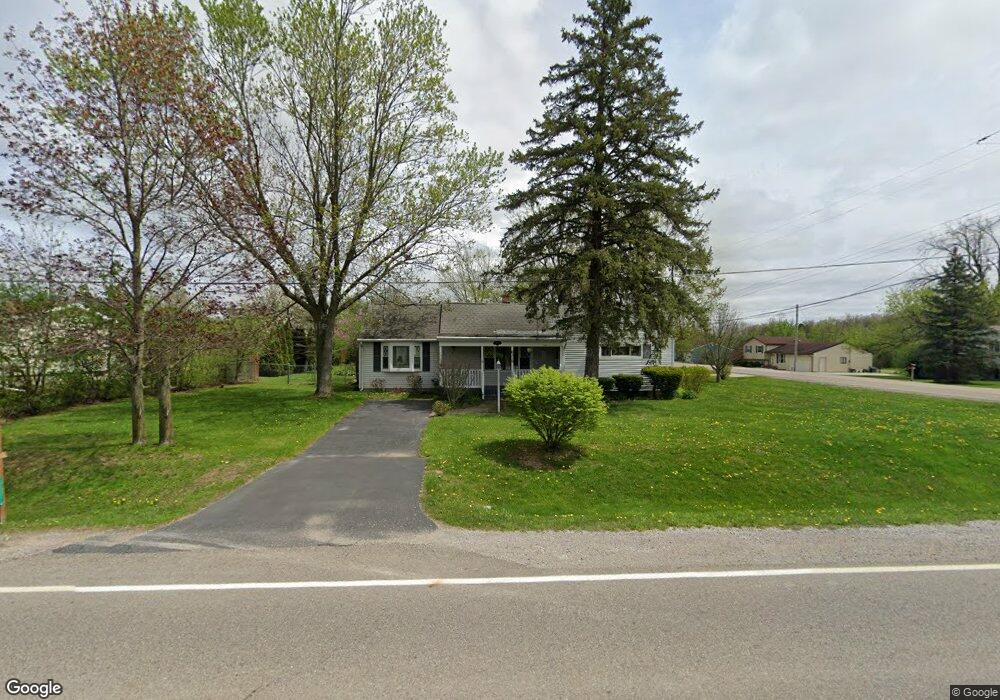
6319 Porter Rd Grand Blanc, MI 48439
Estimated Value: $193,287 - $233,000
2
Beds
1
Bath
1,335
Sq Ft
$155/Sq Ft
Est. Value
About This Home
This home is located at 6319 Porter Rd, Grand Blanc, MI 48439 and is currently estimated at $207,072, approximately $155 per square foot. 6319 Porter Rd is a home located in Genesee County with nearby schools including Anderson Elementary School, McGrath Elementary School, and Grand Blanc West Middle School.
Ownership History
Date
Name
Owned For
Owner Type
Purchase Details
Closed on
Apr 6, 2011
Sold by
Sargent Duane
Bought by
Federal Home Loan Mortgage Corporation
Current Estimated Value
Purchase Details
Closed on
Feb 22, 2005
Sold by
The Clyde B & Olive E Glass Revocable Jo
Bought by
Sargent Duane
Purchase Details
Closed on
Jan 28, 2005
Sold by
Glass Larry W
Bought by
Vettel Christopher and Vettel Crystal
Purchase Details
Closed on
Sep 2, 2003
Sold by
Glass Clyde B
Bought by
Glass Clyde B and Clyde B Glass & Olive E Glass Revocable
Create a Home Valuation Report for This Property
The Home Valuation Report is an in-depth analysis detailing your home's value as well as a comparison with similar homes in the area
Home Values in the Area
Average Home Value in this Area
Purchase History
| Date | Buyer | Sale Price | Title Company |
|---|---|---|---|
| Federal Home Loan Mortgage Corporation | $30,750 | None Available | |
| Sargent Duane | $120,600 | Metropolitan Title Company | |
| Vettel Christopher | $46,500 | Metropolitan Title Company | |
| Glass Clyde B | -- | -- |
Source: Public Records
Tax History Compared to Growth
Tax History
| Year | Tax Paid | Tax Assessment Tax Assessment Total Assessment is a certain percentage of the fair market value that is determined by local assessors to be the total taxable value of land and additions on the property. | Land | Improvement |
|---|---|---|---|---|
| 2025 | $1,995 | $71,300 | $0 | $0 |
| 2024 | $1,137 | $68,800 | $0 | $0 |
| 2023 | $1,084 | $58,600 | $0 | $0 |
| 2022 | $1,764 | $54,300 | $0 | $0 |
| 2021 | $1,737 | $52,700 | $0 | $0 |
| 2020 | $1,000 | $48,500 | $0 | $0 |
| 2019 | $985 | $45,500 | $0 | $0 |
| 2018 | $1,606 | $43,100 | $0 | $0 |
| 2017 | $1,525 | $40,200 | $0 | $0 |
| 2016 | $1,514 | $40,000 | $0 | $0 |
| 2015 | $1,436 | $36,500 | $0 | $0 |
| 2012 | -- | $37,400 | $37,400 | $0 |
Source: Public Records
Map
Nearby Homes
- 6314 Woodsdale Dr
- 6230 Woodsdale Dr
- 6094 Grove Ave
- 6085 Westdale Dr
- 00 Reid Rd
- 2161 Neeper St
- 00 S Dort Hwy
- VL S Saginaw St
- 2346 Rollins St
- 5391 Antoinette Dr
- 01 S Saginaw St
- 000 S Saginaw St
- 00 S Saginaw St
- 3042 E Reid Rd
- 1234 Fisher Heights
- 5368 Boland Dr
- 3049 Baker Heights
- 5400 Ali Dr
- 1482 Wagon Wheel Ln
- 00 Durant Heights
- 6309 Porter Rd
- 2278 Gibson Rd
- 2303 Gibson Rd
- 2290 Gibson Rd
- 2302 Gibson Rd
- 6345 Porter Rd
- 6291 Porter Rd
- 6291 Porter Rd
- 6288 Porter Rd
- 6359 Porter Rd
- 2311 Gibson Rd
- 6279 Porter Rd
- 6284 Porter Rd
- 2321 Gibson Rd
- 2314 Gibson Rd
- 2333 Gibson Rd
- 2310 Gibson Rd
- 6387 Porter Rd
- 6255 Porter Rd
- 6435 Springdale Blvd