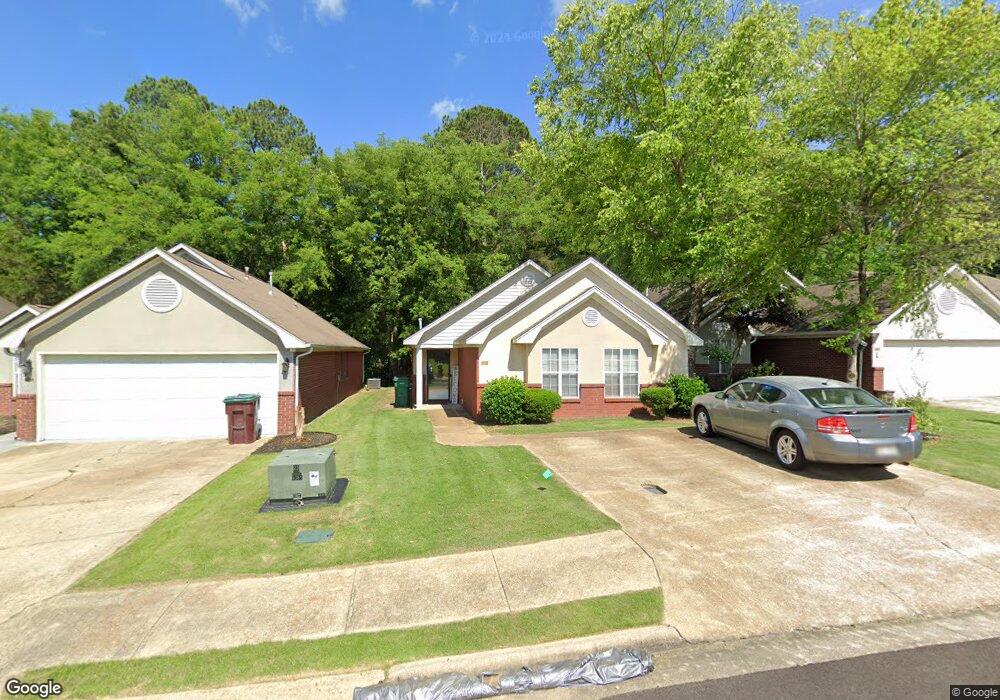
632 Albany St Tupelo, MI 38801
Estimated Value: $173,000 - $211,000
3
Beds
2
Baths
1,636
Sq Ft
$116/Sq Ft
Est. Value
About This Home
This home is located at 632 Albany St, Tupelo, MI 38801 and is currently estimated at $189,716, approximately $115 per square foot. 632 Albany St is a home located in Lee County with nearby schools including Thomas Street Elementary School, Pierce Street Elementary School, and Milam Elementary School.
Ownership History
Date
Name
Owned For
Owner Type
Purchase Details
Closed on
Apr 14, 2020
Sold by
Nelms Sandra
Bought by
Nelms Sandra P and The Sandra P Nelms Revocable Living Trus
Current Estimated Value
Home Financials for this Owner
Home Financials are based on the most recent Mortgage that was taken out on this home.
Original Mortgage
$105,120
Interest Rate
3.6%
Mortgage Type
New Conventional
Purchase Details
Closed on
Feb 21, 2020
Sold by
Mcnatt Robert D and Mcnatt Kristy
Bought by
Nelms Sandra
Home Financials for this Owner
Home Financials are based on the most recent Mortgage that was taken out on this home.
Original Mortgage
$105,120
Interest Rate
3.6%
Mortgage Type
New Conventional
Create a Home Valuation Report for This Property
The Home Valuation Report is an in-depth analysis detailing your home's value as well as a comparison with similar homes in the area
Home Values in the Area
Average Home Value in this Area
Purchase History
| Date | Buyer | Sale Price | Title Company |
|---|---|---|---|
| Nelms Sandra P | -- | None Available | |
| Nelms Sandra | -- | None Available |
Source: Public Records
Mortgage History
| Date | Status | Borrower | Loan Amount |
|---|---|---|---|
| Previous Owner | Nelms Sandra | $105,120 |
Source: Public Records
Tax History Compared to Growth
Tax History
| Year | Tax Paid | Tax Assessment Tax Assessment Total Assessment is a certain percentage of the fair market value that is determined by local assessors to be the total taxable value of land and additions on the property. | Land | Improvement |
|---|---|---|---|---|
| 2024 | $2,655 | $19,526 | $0 | $0 |
| 2023 | $2,381 | $17,462 | $0 | $0 |
| 2022 | $2,337 | $17,462 | $0 | $0 |
| 2021 | $2,337 | $17,462 | $0 | $0 |
| 2020 | $1,558 | $11,641 | $0 | $0 |
| 2019 | $1,215 | $11,319 | $0 | $0 |
| 2018 | $1,207 | $11,258 | $0 | $0 |
| 2017 | $1,201 | $11,258 | $0 | $0 |
| 2016 | $1,201 | $11,258 | $0 | $0 |
| 2015 | $1,112 | $10,591 | $0 | $0 |
| 2014 | $1,112 | $10,627 | $0 | $0 |
Source: Public Records
Map
Nearby Homes
- 0 W Jackson St
- 141 1802 West Jackson St
- 1606 Lambard Dr
- 708 Robindale Dr
- 706 Robindale Dr
- 802 Poplarville St
- 909 Desoto Dr
- 1204 Beauregard St
- 2700 W Main St
- 1407 Mitts Dr
- 712 George Ave
- 2306 Woods St
- 214 Nanney Dr
- 405 S Foster Dr
- 402 Maynard Dr
- 2509 Confederate Ave
- 25 ac Mississippi 6
- 355 Rankin Blvd
- 1523 Central Ave
- Lot 11 Kincannon St