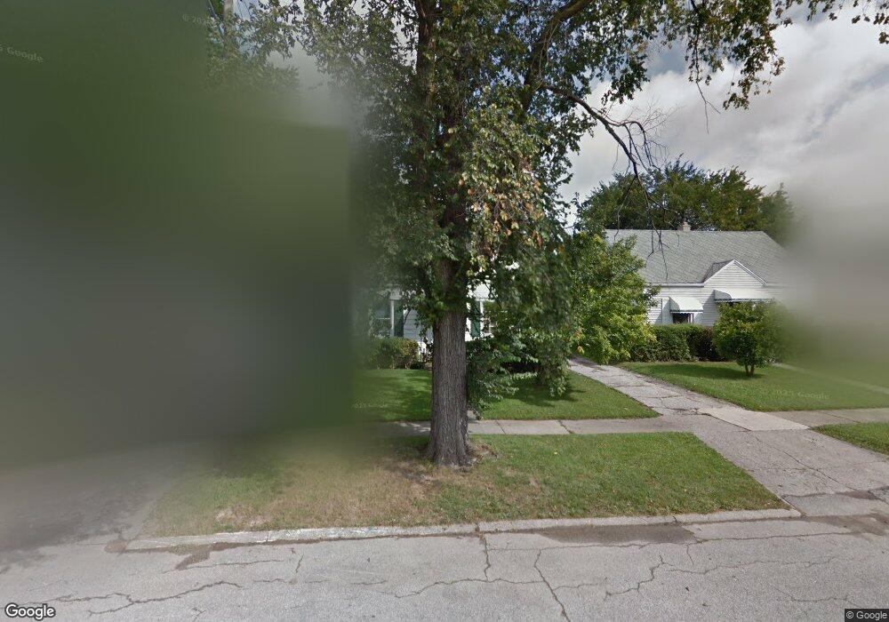
632 Alvord Ave Flint, MI 48507
South Side NeighborhoodEstimated Value: $50,332 - $76,000
3
Beds
1
Bath
911
Sq Ft
$70/Sq Ft
Est. Value
About This Home
This home is located at 632 Alvord Ave, Flint, MI 48507 and is currently estimated at $63,833, approximately $70 per square foot. 632 Alvord Ave is a home located in Genesee County with nearby schools including Neithercut Elementary School, Flint Southwestern Classical Academy, and International Academy of Flint (K-12).
Ownership History
Date
Name
Owned For
Owner Type
Purchase Details
Closed on
Oct 1, 2025
Sold by
Montalbo Michael Anthony and Kelly Ann
Bought by
Montalbo Michael Anthony and Montalbo Kelly Ann
Current Estimated Value
Purchase Details
Closed on
Jul 8, 2024
Sold by
Hart Matt and Hart Matthew P
Bought by
Montalbo Michael Anthony and Montalbo Kelly Ann
Purchase Details
Closed on
Aug 7, 2006
Sold by
Hart Shelly L and Hart Shelley L
Bought by
Hart Matthew P and Hart Shelley L
Home Financials for this Owner
Home Financials are based on the most recent Mortgage that was taken out on this home.
Original Mortgage
$54,000
Interest Rate
6.83%
Mortgage Type
Purchase Money Mortgage
Purchase Details
Closed on
Dec 11, 2000
Sold by
Fowler Barbara and Nancy Letts Trust
Bought by
Hart Shelly
Purchase Details
Closed on
Aug 1, 2000
Sold by
Letts Nancy K
Bought by
Letts Nancy K and Nancy Letts Trust
Create a Home Valuation Report for This Property
The Home Valuation Report is an in-depth analysis detailing your home's value as well as a comparison with similar homes in the area
Home Values in the Area
Average Home Value in this Area
Purchase History
| Date | Buyer | Sale Price | Title Company |
|---|---|---|---|
| Montalbo Michael Anthony | -- | None Listed On Document | |
| Montalbo Michael Anthony | $25,000 | None Listed On Document | |
| Hart Matthew P | -- | None Available | |
| Hart Shelly | -- | -- | |
| Letts Nancy K | -- | -- |
Source: Public Records
Mortgage History
| Date | Status | Borrower | Loan Amount |
|---|---|---|---|
| Previous Owner | Hart Matthew P | $54,000 |
Source: Public Records
Tax History
| Year | Tax Paid | Tax Assessment Tax Assessment Total Assessment is a certain percentage of the fair market value that is determined by local assessors to be the total taxable value of land and additions on the property. | Land | Improvement |
|---|---|---|---|---|
| 2025 | $1,205 | $25,700 | $0 | $0 |
| 2024 | $1,115 | $23,700 | $0 | $0 |
| 2023 | $1,088 | $17,900 | $0 | $0 |
| 2022 | $0 | $16,700 | $0 | $0 |
| 2021 | $1,104 | $14,600 | $0 | $0 |
| 2020 | $1,014 | $13,700 | $0 | $0 |
| 2019 | $990 | $11,400 | $0 | $0 |
| 2018 | $983 | $11,500 | $0 | $0 |
| 2017 | $958 | $0 | $0 | $0 |
| 2016 | $951 | $0 | $0 | $0 |
| 2015 | -- | $0 | $0 | $0 |
| 2014 | -- | $0 | $0 | $0 |
| 2012 | -- | $14,400 | $0 | $0 |
Source: Public Records
Map
Nearby Homes
- 647 Crawford St
- 612 Alvord Ave
- 737 Campbell St
- 805 Alvord Ave
- 818 Alvord Ave
- 633 Waldman Ave
- 738 W Atherton Rd
- 829 Clinton St
- 727 Waldman Ave
- 845 Alvord Ave
- 822 Campbell St
- 3902 Cuthbertson St
- 3805 Brunswick Ave
- 3902 Brunswick Ave
- 4418 Brunswick Ave
- 1216 E Hemphill Rd
- 805 Vermilya Ave
- 912 Markham St
- 825 Vermilya Ave
- 846 W Hemphill Rd
- 628 Alvord Ave
- 636 Alvord Ave
- 624 Alvord Ave
- 640 Alvord Ave
- 631 Crawford St
- 635 Crawford St
- 627 Crawford St
- 623 Crawford St
- 644 Alvord Ave
- 639 Crawford St
- 620 Alvord Ave
- 631 Alvord Ave
- 635 Alvord Ave
- 627 Alvord Ave
- 619 Crawford St
- 643 Crawford St
- 648 Alvord Ave
- 616 Alvord Ave
- 639 Alvord Ave
- 623 Alvord Ave