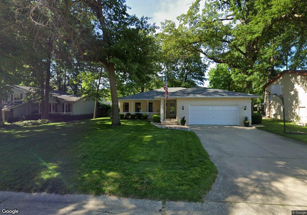
632 Bucks Lair Ct Mount Zion, IL 62549
Estimated Value: $208,020 - $253,000
3
Beds
3
Baths
2,344
Sq Ft
$102/Sq Ft
Est. Value
About This Home
This home is located at 632 Bucks Lair Ct, Mount Zion, IL 62549 and is currently estimated at $238,255, approximately $101 per square foot. 632 Bucks Lair Ct is a home located in Macon County with nearby schools including McGaughey Elementary School, Mt. Zion Intermediate School, and Mt. Zion Elementary School.
Ownership History
Date
Name
Owned For
Owner Type
Purchase Details
Closed on
May 16, 2005
Sold by
Landamerica Onestop Inc
Bought by
Manship James R and Manship Vicki A
Current Estimated Value
Home Financials for this Owner
Home Financials are based on the most recent Mortgage that was taken out on this home.
Original Mortgage
$45,000
Interest Rate
5.91%
Mortgage Type
New Conventional
Purchase Details
Closed on
Mar 24, 2005
Sold by
Carter Brad and Carter Peggy
Bought by
Landamerica Onestop Inc and Executive Relocation Corp
Home Financials for this Owner
Home Financials are based on the most recent Mortgage that was taken out on this home.
Original Mortgage
$45,000
Interest Rate
5.91%
Mortgage Type
New Conventional
Purchase Details
Closed on
Jun 1, 1996
Create a Home Valuation Report for This Property
The Home Valuation Report is an in-depth analysis detailing your home's value as well as a comparison with similar homes in the area
Home Values in the Area
Average Home Value in this Area
Purchase History
| Date | Buyer | Sale Price | Title Company |
|---|---|---|---|
| Manship James R | $152,500 | None Available | |
| Landamerica Onestop Inc | $152,500 | None Available | |
| -- | $125,000 | -- |
Source: Public Records
Mortgage History
| Date | Status | Borrower | Loan Amount |
|---|---|---|---|
| Closed | Manship James R | $45,000 |
Source: Public Records
Tax History Compared to Growth
Tax History
| Year | Tax Paid | Tax Assessment Tax Assessment Total Assessment is a certain percentage of the fair market value that is determined by local assessors to be the total taxable value of land and additions on the property. | Land | Improvement |
|---|---|---|---|---|
| 2024 | $4,111 | $63,666 | $7,261 | $56,405 |
| 2023 | $3,937 | $59,213 | $6,753 | $52,460 |
| 2022 | $3,737 | $56,163 | $6,405 | $49,758 |
| 2021 | $3,590 | $52,615 | $6,000 | $46,615 |
| 2020 | $4,106 | $59,152 | $6,832 | $52,320 |
| 2019 | $4,106 | $59,152 | $6,832 | $52,320 |
| 2018 | $3,967 | $57,642 | $6,658 | $50,984 |
| 2017 | $3,903 | $56,534 | $6,530 | $50,004 |
| 2016 | $3,855 | $55,550 | $6,416 | $49,134 |
| 2015 | $3,723 | $55,000 | $6,352 | $48,648 |
| 2014 | $3,589 | $55,000 | $6,352 | $48,648 |
| 2013 | $3,631 | $55,000 | $6,352 | $48,648 |
Source: Public Records
Map
Nearby Homes
- 570 Fawn Ct
- 1625 Ridgewood Ct
- 1700 Brentwood Dr
- 860 W Wildwood Dr
- 3930 S Mount Zion Rd
- 1440 N Alexander Dr
- 1610 Robin Ct
- 9 Blakeridge Place
- 695 Country Ct
- 1030 Country Manor
- 125 W Walnut St
- 50 Sundance Dr
- 5909 Camp Warren Rd
- 3330 S Baltimore Ave
- 2125 Buckhead Ave
- 265 Carrington Ave
- 524 Elm St
- 2110 Buckhead Ln
- 1935 Buckhead Ct
- 2035 Buckhead Blvd
- 622 Bucks Lair Ct
- 642 Bucks Lair Ct
- 633 N Antler Dr
- 612 Bucks Lair Ct
- 643 N Antler Dr
- 652 Bucks Lair Ct
- 623 N Antler Dr
- 631 Bucks Lair Ct
- 621 Bucks Lair Ct
- 613 Bucks Lair Ct
- 641 Bucks Lair Ct
- 653 N Antler Dr
- 601 Bucks Lair Ct
- 651 Bucks Lair Ct
- 663 N Antler Dr
- 662 Bucks Lair Ct
- 554 N Antler Dr
- 634 N Antler Dr
- 661 Bucks Lair Ct
- 620 S Antler Dr