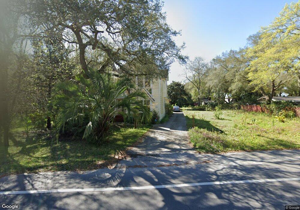
632 Calhoun Ave Destin, FL 32541
Estimated Value: $537,000 - $974,000
3
Beds
3
Baths
2,442
Sq Ft
$283/Sq Ft
Est. Value
About This Home
This home is located at 632 Calhoun Ave, Destin, FL 32541 and is currently estimated at $690,236, approximately $282 per square foot. 632 Calhoun Ave is a home located in Okaloosa County with nearby schools including Destin Elementary School, Destin Middle School, and Fort Walton Beach High School.
Ownership History
Date
Name
Owned For
Owner Type
Purchase Details
Closed on
Jul 21, 2022
Sold by
Strausbaugh Linda D and Strausbaugh Carl O
Bought by
Strausbaugh Linda D and Acker Carl O
Current Estimated Value
Purchase Details
Closed on
Oct 5, 2021
Sold by
Acker Carl and Strausbaugh Linda D
Bought by
Strausbaugh Linda D and Acker Car L
Purchase Details
Closed on
Dec 15, 2015
Sold by
Strausbaugh Mary A and Strausbaugh Linda D
Bought by
Carl Acker & Linda Stausbaugh Revocable
Purchase Details
Closed on
Nov 19, 2007
Sold by
Strausbaugh Mary A and Strausbaugh Linda D
Bought by
Strausbaugh Mary A and Strausbaugh Linda D
Create a Home Valuation Report for This Property
The Home Valuation Report is an in-depth analysis detailing your home's value as well as a comparison with similar homes in the area
Home Values in the Area
Average Home Value in this Area
Purchase History
| Date | Buyer | Sale Price | Title Company |
|---|---|---|---|
| Strausbaugh Linda D | $100 | -- | |
| Strausbaugh Linda D | -- | Accommodation | |
| Carl Acker & Linda Stausbaugh Revocable | -- | Attorney | |
| Strausbaugh Mary A | -- | Attorney |
Source: Public Records
Tax History Compared to Growth
Tax History
| Year | Tax Paid | Tax Assessment Tax Assessment Total Assessment is a certain percentage of the fair market value that is determined by local assessors to be the total taxable value of land and additions on the property. | Land | Improvement |
|---|---|---|---|---|
| 2025 | $2,624 | $260,606 | -- | -- |
| 2024 | $2,477 | $253,261 | -- | -- |
| 2023 | $2,477 | $245,884 | $0 | $0 |
| 2022 | $2,414 | $238,722 | $0 | $0 |
| 2021 | $2,406 | $231,769 | $0 | $0 |
| 2020 | $2,385 | $228,569 | $0 | $0 |
| 2019 | $2,355 | $223,430 | $0 | $0 |
| 2018 | $2,332 | $219,264 | $0 | $0 |
| 2017 | $2,318 | $214,754 | $0 | $0 |
| 2016 | $2,255 | $210,337 | $0 | $0 |
| 2015 | $1,786 | $171,075 | $0 | $0 |
| 2014 | $1,792 | $169,717 | $0 | $0 |
Source: Public Records
Map
Nearby Homes
- 901 Peacocks Point Dr
- 1190 Bay Ct
- 549 Sibert Ave
- 700 Beach Dr Unit A
- 615 Beach Dr
- 702 Beach Dr
- 411 Calhoun Ave
- 425 Stahlman Ave
- 717 6th St
- TBD Kelly St
- 332 Calhoun Ave
- 504 Kelly St
- 113 Fletcher Way
- 434 Fleshman Dr
- 430 Overstreet Dr
- 104 Fletcher Way
- 109 Fletcher Way
- 103 Fletcher Way
- 517 Main St
- 808 Willow St