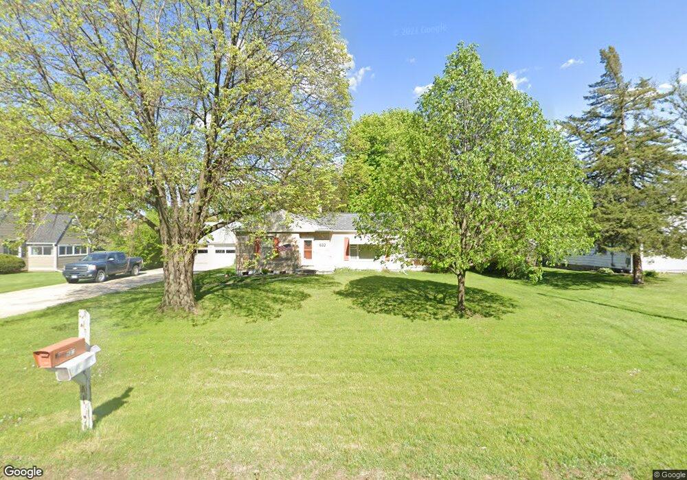
632 Cedar Bend St Waterloo, IA 50703
Estimated Value: $117,000 - $172,739
3
Beds
1
Bath
1,131
Sq Ft
$138/Sq Ft
Est. Value
About This Home
This home is located at 632 Cedar Bend St, Waterloo, IA 50703 and is currently estimated at $155,685, approximately $137 per square foot. 632 Cedar Bend St is a home located in Black Hawk County with nearby schools including Lincoln Elementary School, George Washington Carver Academy, and East High School.
Ownership History
Date
Name
Owned For
Owner Type
Purchase Details
Closed on
Feb 18, 2019
Sold by
Hansen Teresa M
Bought by
Hansen Lyle D
Current Estimated Value
Purchase Details
Closed on
Apr 1, 2008
Sold by
Staebell Paul C and Staebell Clare A
Bought by
Hansen Lyle D and Hansen Teresa
Home Financials for this Owner
Home Financials are based on the most recent Mortgage that was taken out on this home.
Original Mortgage
$98,000
Interest Rate
6.1%
Mortgage Type
Purchase Money Mortgage
Create a Home Valuation Report for This Property
The Home Valuation Report is an in-depth analysis detailing your home's value as well as a comparison with similar homes in the area
Purchase History
| Date | Buyer | Sale Price | Title Company |
|---|---|---|---|
| Hansen Lyle D | -- | -- | |
| Hansen Lyle D | $104,000 | Title Services |
Source: Public Records
Mortgage History
| Date | Status | Borrower | Loan Amount |
|---|---|---|---|
| Previous Owner | Hansen Lyle D | $98,000 |
Source: Public Records
Tax History
| Year | Tax Paid | Tax Assessment Tax Assessment Total Assessment is a certain percentage of the fair market value that is determined by local assessors to be the total taxable value of land and additions on the property. | Land | Improvement |
|---|---|---|---|---|
| 2025 | $3,042 | $169,810 | $21,090 | $148,720 |
| 2024 | $3,042 | $150,480 | $21,090 | $129,390 |
| 2023 | $2,416 | $150,480 | $21,090 | $129,390 |
| 2022 | $2,350 | $118,880 | $21,090 | $97,790 |
| 2021 | $2,498 | $118,880 | $21,090 | $97,790 |
| 2020 | $2,452 | $118,880 | $21,090 | $97,790 |
| 2019 | $2,452 | $118,880 | $21,090 | $97,790 |
| 2018 | $2,152 | $107,370 | $21,090 | $86,280 |
| 2017 | $2,222 | $105,280 | $21,090 | $84,190 |
| 2016 | $2,190 | $105,280 | $21,090 | $84,190 |
| 2015 | $2,190 | $105,280 | $21,090 | $84,190 |
| 2014 | $2,002 | $95,330 | $21,090 | $74,240 |
Source: Public Records
Map
Nearby Homes
- 1543 Wakonda Dr
- 305 Poplar Ave
- 727 Greenbrier Rd
- 1309 Grandview Ave
- 806 Conger St
- 618 Kern St
- 2.29 Acres Ansborough Ave
- 1018 Fairview Ave
- 516 Upton Ave
- 503 W Dale St
- 712 Upton Ave
- 406 Litchfield Ave
- 1414 Maxine Ave
- 608 Wallgate Ave
- 610 Wallgate Ave
- 1133 Columbia St
- 1434 Rainbow Dr
- 1214 Pleasant Valley Dr
- 631 Wallgate Ave
- 533 Reed St
- 620 Cedar Bend St
- 640 Cedar Bend St
- 229 Fairfield St
- 612 Cedar Bend St
- 654 Cedar Bend St
- 241 Fairfield St
- 1421 Virginia St
- 221 Fairfield St
- 1415 Virginia St
- 621 Cedar Bend St
- 604 Cedar Bend St
- 641 Cedar Bend St
- 251 Fairfield St
- 615 Cedar Bend St
- 211 Fairfield St
- 257 Fairfield St
- 203 Fairfield St
- 657 Cedar Bend St
- 700 Cedar Bend St
- 601 Cedar Bend St
Your Personal Tour Guide
Ask me questions while you tour the home.