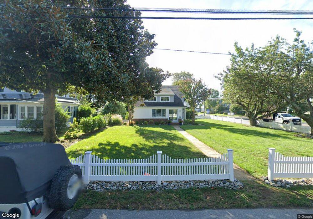
632 Cedarcrest Dr Brielle, NJ 08730
Estimated Value: $936,000 - $1,265,000
3
Beds
2
Baths
1,804
Sq Ft
$632/Sq Ft
Est. Value
About This Home
This home is located at 632 Cedarcrest Dr, Brielle, NJ 08730 and is currently estimated at $1,140,302, approximately $632 per square foot. 632 Cedarcrest Dr is a home located in Monmouth County with nearby schools including Brielle Elementary School and St. Peter School.
Ownership History
Date
Name
Owned For
Owner Type
Purchase Details
Closed on
Jun 9, 2010
Sold by
Boros Camille J
Bought by
Pellicane Robert and Pellicane Deborah
Current Estimated Value
Home Financials for this Owner
Home Financials are based on the most recent Mortgage that was taken out on this home.
Original Mortgage
$250,000
Outstanding Balance
$82,949
Interest Rate
4.88%
Mortgage Type
New Conventional
Estimated Equity
$1,057,353
Create a Home Valuation Report for This Property
The Home Valuation Report is an in-depth analysis detailing your home's value as well as a comparison with similar homes in the area
Home Values in the Area
Average Home Value in this Area
Purchase History
| Date | Buyer | Sale Price | Title Company |
|---|---|---|---|
| Pellicane Robert | $430,000 | Fidelity Natl Title Ins Co |
Source: Public Records
Mortgage History
| Date | Status | Borrower | Loan Amount |
|---|---|---|---|
| Open | Pellicane Robert | $250,000 |
Source: Public Records
Tax History
| Year | Tax Paid | Tax Assessment Tax Assessment Total Assessment is a certain percentage of the fair market value that is determined by local assessors to be the total taxable value of land and additions on the property. | Land | Improvement |
|---|---|---|---|---|
| 2025 | $12,576 | $1,063,900 | $715,000 | $348,900 |
| 2024 | $10,248 | $1,013,400 | $670,900 | $342,500 |
| 2023 | $10,248 | $797,500 | $463,000 | $334,500 |
| 2022 | $9,488 | $734,000 | $415,500 | $318,500 |
| 2021 | $9,488 | $618,900 | $349,000 | $269,900 |
| 2020 | $9,488 | $579,600 | $315,800 | $263,800 |
| 2019 | $9,172 | $568,600 | $306,300 | $262,300 |
| 2018 | $9,013 | $551,600 | $301,500 | $250,100 |
| 2017 | $8,998 | $544,000 | $301,500 | $242,500 |
| 2016 | $8,858 | $536,500 | $296,800 | $239,700 |
| 2015 | $8,345 | $501,800 | $273,000 | $228,800 |
| 2014 | $7,525 | $483,000 | $350,000 | $133,000 |
Source: Public Records
Map
Nearby Homes
- 612 Union Ave
- 607 Cherokee Ln
- 329 Fisk Ave
- 323-325 Fisk Ave
- 22 Crescent Dr
- 204 Curtis Ave
- 405 Perrine Blvd
- 610 Agnes Ave
- 404 Perrine Blvd
- 642 Rankin Rd
- 130 Union Ave
- 308 South St
- 328 Curtis Ave Unit Lot 28
- 816 Rathjen Rd
- 326 Curtis Ave Unit Lot 27
- 202 Yale Ave
- 409 Laurel Ave
- 846 William Dr
- 14 Lebanon Dr
- 312 Woodland Rd
- 630 Cedarcrest Dr
- 304 Union Ln
- 627 Homestead Rd
- 403 Union Ln
- 401 Union Ln
- 626 Cedarcrest Dr
- 405 Union Ln
- 407 Union Ln
- 625 Cedarcrest Dr
- 404 Union Ln
- 625 Homestead Rd
- 623 Green Ave
- 708 Ashley Ave
- 623 Cedarcrest Dr
- 703 Wainwright Place
- 705 Wainwright Place
- 701 Wainwright Place Unit 1
- 620 Cedarcrest Dr
- 623 Homestead Rd
- 624 Cedarcrest Dr
Your Personal Tour Guide
Ask me questions while you tour the home.