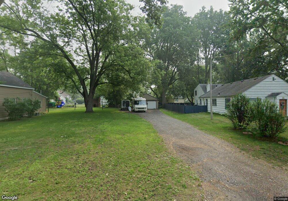
632 Cuba St Toledo, OH 43615
Reynolds Corners NeighborhoodEstimated Value: $100,000 - $108,760
--
Bed
--
Bath
--
Sq Ft
8,494
Sq Ft Lot
About This Home
This home is located at 632 Cuba St, Toledo, OH 43615 and is currently estimated at $104,380. 632 Cuba St is a home located in Lucas County with nearby schools including McTigue Elementary School, Rogers High School, and Horizon Science Academy-Springfield.
Ownership History
Date
Name
Owned For
Owner Type
Purchase Details
Closed on
Mar 17, 2025
Sold by
Mitchell Douglas A
Bought by
Meyer Timothy J and Meyer Linda L
Current Estimated Value
Purchase Details
Closed on
Sep 26, 1997
Sold by
Amesse Henry D
Bought by
Mitchell Douglas A
Home Financials for this Owner
Home Financials are based on the most recent Mortgage that was taken out on this home.
Original Mortgage
$40,000
Interest Rate
7.63%
Mortgage Type
New Conventional
Purchase Details
Closed on
Jun 17, 1988
Sold by
Croskey Raymond L and Croskey Ruby
Create a Home Valuation Report for This Property
The Home Valuation Report is an in-depth analysis detailing your home's value as well as a comparison with similar homes in the area
Home Values in the Area
Average Home Value in this Area
Purchase History
| Date | Buyer | Sale Price | Title Company |
|---|---|---|---|
| Meyer Timothy J | $30,000 | None Listed On Document | |
| Mitchell Douglas A | $40,000 | -- | |
| -- | -- | -- |
Source: Public Records
Mortgage History
| Date | Status | Borrower | Loan Amount |
|---|---|---|---|
| Previous Owner | Mitchell Douglas A | $40,000 |
Source: Public Records
Tax History Compared to Growth
Tax History
| Year | Tax Paid | Tax Assessment Tax Assessment Total Assessment is a certain percentage of the fair market value that is determined by local assessors to be the total taxable value of land and additions on the property. | Land | Improvement |
|---|---|---|---|---|
| 2024 | $209 | $3,430 | $630 | $2,800 |
| 2023 | $437 | $3,675 | $280 | $3,395 |
| 2022 | $419 | $3,675 | $280 | $3,395 |
| 2021 | $438 | $3,675 | $280 | $3,395 |
| 2020 | $460 | $3,045 | $245 | $2,800 |
| 2019 | $428 | $3,045 | $245 | $2,800 |
| 2018 | $451 | $3,045 | $245 | $2,800 |
| 2017 | $406 | $2,975 | $245 | $2,730 |
| 2016 | $436 | $8,500 | $700 | $7,800 |
| 2015 | $466 | $8,500 | $700 | $7,800 |
| 2014 | $194 | $2,980 | $250 | $2,730 |
| 2013 | $193 | $2,980 | $250 | $2,730 |
Source: Public Records
Map
Nearby Homes
- 1032 Saturn Dr
- 6324 Bapst Ave
- 312 Hayes Rd
- 419 N Holland Sylvania Rd
- 5873 Nebraska Ave
- 5805 Fryer Ave
- 6106 Hill Ave
- 1715 Brooklynn Park W
- 6339 Hill Ave
- 5845 Cook Dr
- 1709 Acorn Dr
- 428 Deline Dr
- 127 N Dorcas Rd
- 6607 Hill Ave
- 1911 N Holland Sylvania Rd
- 2004 Oakside Rd
- 4860 Airport Hwy
- 2015 Oakside Rd
- 2010 Oakside Rd
- 1966 Devinci Dr