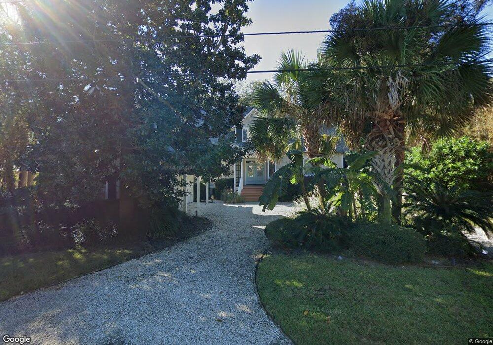
632 Demere Way Saint Simons Island, GA 31522
Estimated Value: $1,543,000 - $1,784,000
4
Beds
5
Baths
2,800
Sq Ft
$602/Sq Ft
Est. Value
About This Home
This home is located at 632 Demere Way, Saint Simons Island, GA 31522 and is currently estimated at $1,684,610, approximately $601 per square foot. 632 Demere Way is a home located in Glynn County with nearby schools including St. Simons Elementary School, Glynn Middle School, and Glynn Academy.
Ownership History
Date
Name
Owned For
Owner Type
Purchase Details
Closed on
Oct 23, 2020
Sold by
Mallicote Richard Edwin
Bought by
T Richard
Current Estimated Value
Purchase Details
Closed on
Mar 1, 2010
Sold by
Mallicote Patricia M
Bought by
Mallicote Richard E
Purchase Details
Closed on
Jan 29, 2008
Sold by
Roland Daniel Properties I
Bought by
Mallicote Richard E and Mallicote Patricia M
Purchase Details
Closed on
Mar 1, 2007
Sold by
Coleman Evelyn S
Bought by
Roland Daniel Properties Inc
Purchase Details
Closed on
Jan 13, 2006
Sold by
Mecchella Edward J
Bought by
Coleman Evelyn S
Create a Home Valuation Report for This Property
The Home Valuation Report is an in-depth analysis detailing your home's value as well as a comparison with similar homes in the area
Home Values in the Area
Average Home Value in this Area
Purchase History
| Date | Buyer | Sale Price | Title Company |
|---|---|---|---|
| T Richard | -- | -- | |
| Mallicote Richard E | -- | -- | |
| Mallicote Richard E | $975,000 | -- | |
| Roland Daniel Properties Inc | $1,150,000 | -- | |
| Coleman Evelyn S | $875,000 | -- |
Source: Public Records
Tax History Compared to Growth
Tax History
| Year | Tax Paid | Tax Assessment Tax Assessment Total Assessment is a certain percentage of the fair market value that is determined by local assessors to be the total taxable value of land and additions on the property. | Land | Improvement |
|---|---|---|---|---|
| 2025 | $15,786 | $629,440 | $222,960 | $406,480 |
| 2024 | $14,683 | $585,480 | $183,280 | $402,200 |
| 2023 | $8,169 | $585,480 | $183,280 | $402,200 |
| 2022 | $8,725 | $391,600 | $183,280 | $208,320 |
| 2021 | $8,993 | $387,560 | $183,280 | $204,280 |
| 2020 | $8,039 | $311,200 | $106,920 | $204,280 |
| 2019 | $8,039 | $311,200 | $106,920 | $204,280 |
| 2018 | $5,971 | $311,200 | $106,920 | $204,280 |
| 2017 | $5,971 | $264,280 | $91,640 | $172,640 |
| 2016 | $5,520 | $232,640 | $91,640 | $141,000 |
| 2015 | $5,605 | $232,640 | $91,640 | $141,000 |
| 2014 | $5,605 | $232,640 | $91,640 | $141,000 |
Source: Public Records
Map
Nearby Homes
- 625 May Joe St
- 638 Dellwood Ave
- 744 Ocean Blvd Unit 202
- 553 Magnolia Ave
- 115 Seaside Cir
- 652 Oglethorpe Ave
- 800 Ocean Blvd Unit 204
- 800 Ocean Blvd Unit 108
- 105 Seaside Cir
- 548 Oglethorpe Ave Unit 11
- 622 Beachview Dr
- 1017 Ocean View Ave
- 540 Oglethorpe Ave
- 322 5th St
- 908 Ocean Blvd
- 907 Beachview Dr
- 1106 George Lotson Ave
- 1055 College St
- 425 Magnolia Ave Unit C
- 424 Magnolia Ave Unit 6
- 628 Demere Way
- 634 Demere Way
- 636 Demere Way
- 629 May Joe St
- 624 Demere Way
- 605 Demere Rd
- 635 Demere Way
- 511 Demere Rd
- 511 Demere Rd Unit 511-513
- 637 Demere Way
- 631 Demere Way
- 641 & 643 Demere Way
- 621 May Joe St
- 620 Demere Way
- 641 Demere Way
- 627 Demere Way
- 617 May Joe St
- 623 Demere Way
- 628 May Joe St
- 647 Demere Way