Estimated Value: $126,000 - $212,000
Studio
2
Baths
1,792
Sq Ft
$84/Sq Ft
Est. Value
About This Home
This home is located at 632 Duncan Rd, Ozark, AR 72949 and is currently estimated at $150,611, approximately $84 per square foot. 632 Duncan Rd is a home located in Franklin County with nearby schools including Ozark Kindergarten School, Elgin B Milton Primary School, and Ozark Upper Elementary School.
Ownership History
Date
Name
Owned For
Owner Type
Purchase Details
Closed on
Sep 30, 2025
Sold by
Pruitt Alice Elizabeth
Bought by
Alice Pruitt Trust and Pruitt
Current Estimated Value
Purchase Details
Closed on
May 13, 2025
Sold by
Pruitt Alice Elizabeth
Bought by
Alice Pruitt Trust and Pruitt
Purchase Details
Closed on
Apr 16, 2024
Sold by
Morse Jerry B and Yeager Reba M
Bought by
Pruitt Alice Elizabeth
Purchase Details
Closed on
Aug 21, 2012
Sold by
Combs Betty
Bought by
Morse Jerry B and Yeager Reba M
Purchase Details
Closed on
Jan 25, 1996
Bought by
Ruston and Combs
Purchase Details
Closed on
May 1, 1993
Bought by
98 98 1 and 98
Create a Home Valuation Report for This Property
The Home Valuation Report is an in-depth analysis detailing your home's value as well as a comparison with similar homes in the area
Purchase History
| Date | Buyer | Sale Price | Title Company |
|---|---|---|---|
| Alice Pruitt Trust | -- | None Listed On Document | |
| Alice Pruitt Trust | -- | None Listed On Document | |
| Pruitt Alice Elizabeth | $88,000 | None Listed On Document | |
| Morse Jerry B | $85,000 | -- | |
| Ruston | -- | -- | |
| Combs | -- | -- | |
| 98 98 1 | -- | -- |
Source: Public Records
Tax History
| Year | Tax Paid | Tax Assessment Tax Assessment Total Assessment is a certain percentage of the fair market value that is determined by local assessors to be the total taxable value of land and additions on the property. | Land | Improvement |
|---|---|---|---|---|
| 2025 | $463 | $17,680 | $1,920 | $15,760 |
| 2024 | $425 | $17,680 | $1,920 | $15,760 |
| 2023 | $56 | $17,680 | $1,920 | $15,760 |
| 2022 | $56 | $17,680 | $1,920 | $15,760 |
| 2021 | $56 | $17,680 | $1,920 | $15,760 |
| 2020 | $57 | $16,900 | $1,900 | $15,000 |
| 2019 | $57 | $16,900 | $1,900 | $15,000 |
| 2018 | $69 | $16,900 | $1,900 | $15,000 |
| 2017 | $29 | $16,900 | $1,900 | $15,000 |
| 2016 | $29 | $7,911 | $1,300 | $6,611 |
| 2015 | $24 | $7,256 | $1,460 | $5,796 |
| 2013 | -- | $15,070 | $1,860 | $13,210 |
Source: Public Records
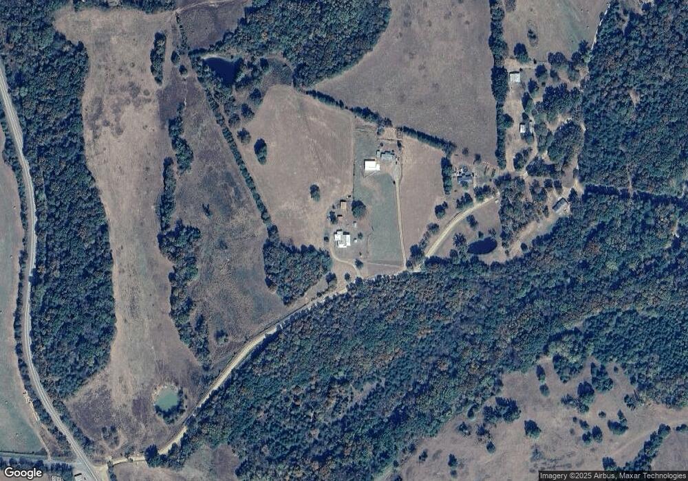
Map
Nearby Homes
- 1019 Duncan Rd
- 522 Wire Rd
- 1122 Wire Rd
- TBD Commercial St
- 110 & 112 S 2nd St
- 14441 Lower Jethro Rd
- 13542 Watalula Rd
- 1832 Lone Oak Rd
- 9417 Puddin Ridge Rd
- 719 Norma Ln
- 4150 Low Gap Rd
- TBD Winds Rd
- 8063 Arkansas 23
- Tract 2 Arkansas 23
- 1901 Arkansas 23
- 1205 N 18th St
- 1901 Kris Dr
- 1912 Johnson St
- 617 N 35th St
- 0 Middle Ridge Rd Unit 1340025
- 718 Duncan Rd
- 824 Duncan Rd
- 829 Duncan Rd
- 1026 Duncan Rd
- 12522 N Highway 23
- 1214 Duncan Rd
- 11705 N Highway 23
- 11705 Arkansas 23
- 519 Highway 352
- 409 Highway 352
- 327 Highway 352
- 806 Highway 352
- 1925 Duncan Rd
- 12627 N Highway 23
- 11504 Somerset Ln
- 12637 N Highway 23
- 621 Highway 352
- 12801 N Highway 23
- 11433 Somerset Ln
Your Personal Tour Guide
Ask me questions while you tour the home.