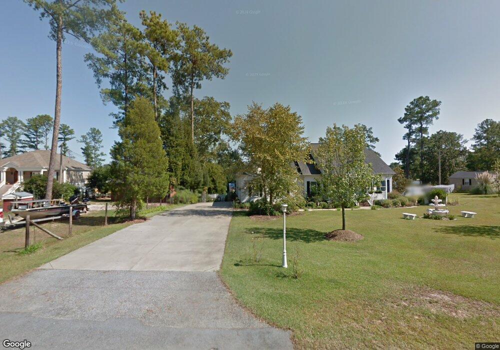
632 E Point Dr Gilbert, SC 29054
Estimated Value: $371,000 - $554,000
2
Beds
2
Baths
1,178
Sq Ft
$391/Sq Ft
Est. Value
About This Home
This home is located at 632 E Point Dr, Gilbert, SC 29054 and is currently estimated at $460,697, approximately $391 per square foot. 632 E Point Dr is a home with nearby schools including Centerville Elementary School, Gilbert Middle School, and Gilbert High School.
Ownership History
Date
Name
Owned For
Owner Type
Purchase Details
Closed on
Aug 10, 2007
Sold by
Price Charles L and Price Juddy B
Bought by
Taylor Robert F and Taylor Risa A
Current Estimated Value
Home Financials for this Owner
Home Financials are based on the most recent Mortgage that was taken out on this home.
Original Mortgage
$225,000
Outstanding Balance
$142,386
Interest Rate
6.65%
Mortgage Type
Purchase Money Mortgage
Estimated Equity
$318,311
Create a Home Valuation Report for This Property
The Home Valuation Report is an in-depth analysis detailing your home's value as well as a comparison with similar homes in the area
Home Values in the Area
Average Home Value in this Area
Purchase History
| Date | Buyer | Sale Price | Title Company |
|---|---|---|---|
| Taylor Robert F | $327,500 | None Available |
Source: Public Records
Mortgage History
| Date | Status | Borrower | Loan Amount |
|---|---|---|---|
| Open | Taylor Robert F | $225,000 |
Source: Public Records
Tax History
| Year | Tax Paid | Tax Assessment Tax Assessment Total Assessment is a certain percentage of the fair market value that is determined by local assessors to be the total taxable value of land and additions on the property. | Land | Improvement |
|---|---|---|---|---|
| 2024 | $7,964 | $14,909 | $10,652 | $4,257 |
| 2023 | $7,393 | $14,909 | $10,652 | $4,257 |
| 2022 | $7,110 | $14,909 | $10,652 | $4,257 |
| 2020 | $7,151 | $14,909 | $10,652 | $4,257 |
| 2019 | $6,432 | $12,965 | $8,400 | $4,565 |
| 2018 | $6,386 | $12,965 | $8,400 | $4,565 |
| 2017 | $6,279 | $12,965 | $8,400 | $4,565 |
| 2016 | $6,084 | $12,965 | $8,400 | $4,565 |
| 2014 | $6,076 | $13,972 | $9,000 | $4,972 |
| 2013 | -- | $13,970 | $9,000 | $4,970 |
Source: Public Records
Map
Nearby Homes
- 624 E Point Dr
- 421 W Point Dr
- 325 Adams Ln
- 377 Still Shores Dr
- 151 Harrison Hill Ct
- 166 Marina Cove Dr
- 149 Marina Cove Dr
- 639 Shining Sun Ct
- 320 Still Shores Dr
- 316 Still Shores Dr
- 642 Shining Sun Ct
- 124 Marina Cove Dr
- 105 Marina Cove Dr
- 111 Buccaneer Place
- 621 Tom Drafts Cir
- 144 Harbour Watch Blvd
- 159 Harvest Moon Dr
- 334 Breezy Bay Ct
- 100 Osprey Point
- 115 Rocky Ridge Rd
- 634 E Point Dr
- 638 E Point Dr
- 631 E Point Dr
- 635 E Point Dr
- 639 E Point Dr
- 620 E Point Dr
- 642 E Point Dr
- 643 E Point Dr
- 644 E Point Dr
- 548 N Lakeshore Dr
- 534 N Lakeshore Dr
- 649 E Point Dr
- 528 N Lakeshore Dr
- 617 E Point Dr
- 530 N Lakeshore Dr
- 650 E Point Dr
- 550 N Lakeshore Dr
- 526 N Lakeshore Dr
- 549 N Lakeshore Dr
- 524 N Lakeshore Dr
Your Personal Tour Guide
Ask me questions while you tour the home.