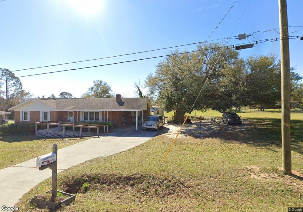
632 Enterprise St Swainsboro, GA 30401
Estimated Value: $132,722 - $162,000
3
Beds
1
Bath
1,314
Sq Ft
$111/Sq Ft
Est. Value
About This Home
This home is located at 632 Enterprise St, Swainsboro, GA 30401 and is currently estimated at $145,431, approximately $110 per square foot. 632 Enterprise St is a home located in Emanuel County with nearby schools including Swainsboro Primary School, Swainsboro Elementary School, and Swainsboro Middle School.
Ownership History
Date
Name
Owned For
Owner Type
Purchase Details
Closed on
Feb 2, 2009
Sold by
Riner Cindy H
Bought by
Hutcheson Bonnie Faye
Current Estimated Value
Purchase Details
Closed on
Aug 16, 1971
Sold by
Secretary Of Housing & Urban
Bought by
Hutcheson Bobby D
Create a Home Valuation Report for This Property
The Home Valuation Report is an in-depth analysis detailing your home's value as well as a comparison with similar homes in the area
Home Values in the Area
Average Home Value in this Area
Purchase History
| Date | Buyer | Sale Price | Title Company |
|---|---|---|---|
| Hutcheson Bonnie Faye | -- | -- | |
| Hutcheson Bobby D | -- | -- |
Source: Public Records
Tax History Compared to Growth
Tax History
| Year | Tax Paid | Tax Assessment Tax Assessment Total Assessment is a certain percentage of the fair market value that is determined by local assessors to be the total taxable value of land and additions on the property. | Land | Improvement |
|---|---|---|---|---|
| 2024 | $1,283 | $36,627 | $2,027 | $34,600 |
| 2023 | $367 | $35,274 | $2,027 | $33,247 |
| 2022 | $584 | $29,683 | $1,251 | $28,432 |
| 2021 | $550 | $27,896 | $1,088 | $26,808 |
| 2020 | $530 | $26,012 | $1,400 | $24,612 |
| 2019 | $530 | $26,012 | $1,400 | $24,612 |
| 2018 | $683 | $25,851 | $1,400 | $24,451 |
| 2017 | $670 | $25,276 | $1,400 | $23,876 |
| 2016 | $507 | $25,258 | $1,400 | $23,858 |
| 2015 | -- | $25,258 | $1,400 | $23,858 |
| 2014 | -- | $24,724 | $1,200 | $23,524 |
| 2013 | -- | $23,456 | $1,200 | $22,256 |
Source: Public Records
Map
Nearby Homes
- 178 Advantage Ln
- 114 Happiness Dr
- 310 Advantage Ln
- 167 Fortune Loop
- 0 Mcleod Dr
- 843 Prosperity Dr
- 849 Prosperity Dr
- 423 E Martin Luther King Junior Blvd
- 875 Prosperity Dr
- 0 Modoc Rd Unit 10587358
- 0 Modoc Rd Unit 25131986
- 323 N Main St
- 625 Allen St Unit 12
- 402 N Main St
- 542 Jones Ave
- 400 N Main St
- 118 Pierce Ave
- 219 Lucky St
- 331 S Green St
- 217 Fowler St
- 624 Enterprise St
- 627 Freedom St
- 181 Rainbow Ridge
- 625 Enterprise St
- 625 Freedom St
- 171 Rainbow Ridge
- 203 Rainbow Ridge
- 0 Rainbow Ridge
- 621 Freedom St
- 610 Enterprise St
- 180 Rainbow Ridge
- 632 Sunshine Rd
- 0 Freedom St Unit 7239825
- 167 Rainbow Ridge
- 624 Freedom St
- 204 Rainbow Ridge
- 211 Rainbow Ridge
- 624 Sunshine Rd
- 617 Freedom St
- 613 Enterprise St