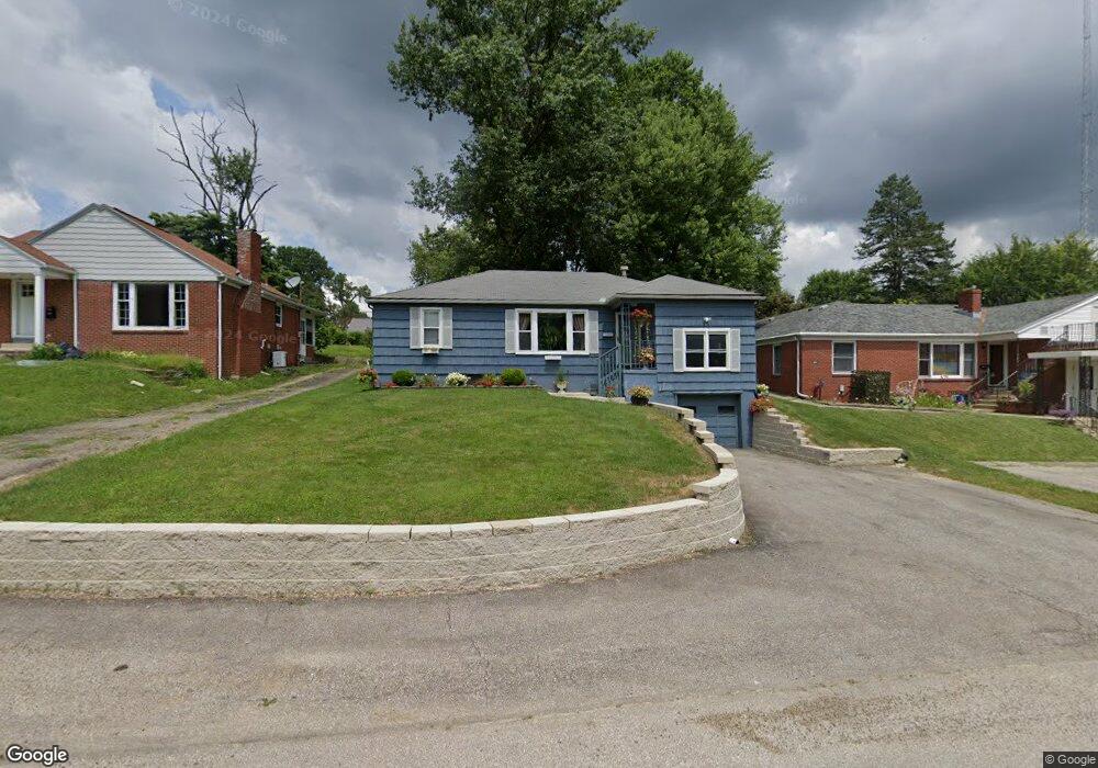
632 Glendale Blvd Mansfield, OH 44907
Estimated Value: $173,831 - $204,000
2
Beds
1
Bath
1,332
Sq Ft
$140/Sq Ft
Est. Value
About This Home
This home is located at 632 Glendale Blvd, Mansfield, OH 44907 and is currently estimated at $186,708, approximately $140 per square foot. 632 Glendale Blvd is a home located in Richland County with nearby schools including Mansfield Christian School, Discovery School, and Mansfield Seventh-day Adventist School.
Ownership History
Date
Name
Owned For
Owner Type
Purchase Details
Closed on
Nov 24, 1999
Sold by
Feagin Gary
Bought by
Feagin Thomas and Feagin Melody
Current Estimated Value
Home Financials for this Owner
Home Financials are based on the most recent Mortgage that was taken out on this home.
Original Mortgage
$56,250
Outstanding Balance
$18,983
Interest Rate
9.13%
Mortgage Type
New Conventional
Estimated Equity
$167,725
Purchase Details
Closed on
Oct 1, 1986
Create a Home Valuation Report for This Property
The Home Valuation Report is an in-depth analysis detailing your home's value as well as a comparison with similar homes in the area
Home Values in the Area
Average Home Value in this Area
Purchase History
| Date | Buyer | Sale Price | Title Company |
|---|---|---|---|
| Feagin Thomas | $75,000 | -- | |
| -- | $40,000 | -- |
Source: Public Records
Mortgage History
| Date | Status | Borrower | Loan Amount |
|---|---|---|---|
| Open | Feagin Thomas | $56,250 |
Source: Public Records
Tax History Compared to Growth
Tax History
| Year | Tax Paid | Tax Assessment Tax Assessment Total Assessment is a certain percentage of the fair market value that is determined by local assessors to be the total taxable value of land and additions on the property. | Land | Improvement |
|---|---|---|---|---|
| 2024 | $1,925 | $41,120 | $7,230 | $33,890 |
| 2023 | $1,925 | $41,120 | $7,230 | $33,890 |
| 2022 | $1,807 | $32,340 | $6,300 | $26,040 |
| 2021 | $1,820 | $32,340 | $6,300 | $26,040 |
| 2020 | $1,861 | $32,340 | $6,300 | $26,040 |
| 2019 | $1,747 | $27,400 | $5,340 | $22,060 |
| 2018 | $1,723 | $27,400 | $5,340 | $22,060 |
| 2017 | $1,713 | $27,400 | $5,340 | $22,060 |
| 2016 | $1,749 | $27,720 | $6,130 | $21,590 |
| 2015 | $1,671 | $27,720 | $6,130 | $21,590 |
| 2014 | $1,649 | $27,720 | $6,130 | $21,590 |
| 2012 | $661 | $29,180 | $6,450 | $22,730 |
Source: Public Records
Map
Nearby Homes
- 654 Courtwright Blvd
- 0 U S Highway 42
- 1163 Woodland Rd
- 1009 Woodhill Rd
- 501 Clifton Blvd
- 476 Glendale Blvd
- 1156 Briarwood Rd
- 589 Andover Rd
- 0 George Ave
- 240 Whippoorwill Ln Unit 240
- 646 Kennedy Dr
- 0 Lexington Ave Unit 224009661
- 1156 Yorkwood Rd
- 710 Cloverleaf Ct
- 818 Red Oak Trail
- 421 Edgewood Rd
- 823 1 2 Red Oak Trail
- 823 1/2 Red Oak Trail
- 655 Woodhill Rd
- 1201 W Cook Rd
- 640 Glendale Blvd
- 624 Glendale Blvd
- 648 Glendale Blvd
- 637 Courtwright Blvd
- 650 Glendale Blvd Unit 652
- 643 Courtwright Blvd
- 625 Courtwright Blvd
- 645 Courtwright Blvd
- 621 Courtwright Blvd
- 641 Glendale Blvd
- 1140 Lexington Ave
- 645 Courtwright Blvd
- 656 Glendale Blvd
- 649 Courtwright Blvd
- 615 Courtwright Blvd
- 649 Glendale Blvd
- 655 Glendale Blvd
- 661 Courtwright Blvd
- 668 Glendale Blvd
- 1116 Lexington Ave