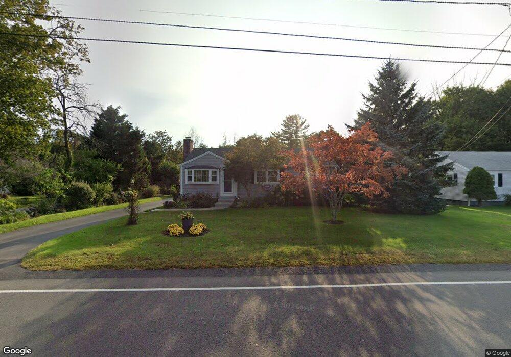
632 Hancock St Abington, MA 02351
Estimated Value: $472,000 - $530,000
3
Beds
1
Bath
960
Sq Ft
$523/Sq Ft
Est. Value
About This Home
This home is located at 632 Hancock St, Abington, MA 02351 and is currently estimated at $502,484, approximately $523 per square foot. 632 Hancock St is a home located in Plymouth County with nearby schools including Woodsdale School, Beaver Brook Elementary School, and Abington Middle School.
Ownership History
Date
Name
Owned For
Owner Type
Purchase Details
Closed on
Jun 24, 1998
Sold by
Clapp Mary R Est
Bought by
Worrick Leigh W and Worrick Deborah A
Current Estimated Value
Home Financials for this Owner
Home Financials are based on the most recent Mortgage that was taken out on this home.
Original Mortgage
$120,500
Interest Rate
7.09%
Mortgage Type
Purchase Money Mortgage
Create a Home Valuation Report for This Property
The Home Valuation Report is an in-depth analysis detailing your home's value as well as a comparison with similar homes in the area
Home Values in the Area
Average Home Value in this Area
Purchase History
| Date | Buyer | Sale Price | Title Company |
|---|---|---|---|
| Worrick Leigh W | $133,900 | -- |
Source: Public Records
Mortgage History
| Date | Status | Borrower | Loan Amount |
|---|---|---|---|
| Open | Worrick Leigh W | $150,000 | |
| Closed | Worrick Leigh W | $120,500 |
Source: Public Records
Tax History Compared to Growth
Tax History
| Year | Tax Paid | Tax Assessment Tax Assessment Total Assessment is a certain percentage of the fair market value that is determined by local assessors to be the total taxable value of land and additions on the property. | Land | Improvement |
|---|---|---|---|---|
| 2025 | $5,820 | $445,600 | $247,000 | $198,600 |
| 2024 | $5,497 | $410,800 | $225,300 | $185,500 |
| 2023 | $5,559 | $391,200 | $196,900 | $194,300 |
| 2022 | $5,602 | $368,100 | $173,300 | $194,800 |
| 2021 | $5,274 | $320,000 | $157,900 | $162,100 |
| 2020 | $5,284 | $310,800 | $153,300 | $157,500 |
| 2019 | $4,810 | $276,600 | $146,400 | $130,200 |
| 2018 | $4,870 | $273,300 | $146,400 | $126,900 |
| 2017 | $4,595 | $250,400 | $146,400 | $104,000 |
| 2016 | $4,239 | $236,400 | $139,800 | $96,600 |
| 2015 | $3,895 | $229,100 | $139,800 | $89,300 |
Source: Public Records
Map
Nearby Homes
- 451 Lincoln St
- 840 Hancock St
- 89 Presidential Dr
- 14 Kingswood Dr Unit 3
- 332 Hancock St
- 337 Randolph St
- 209 Hancock St
- 164 Hancock St
- 14 Jamieson St
- 116 Hancock St
- 0 Bedford St
- 676 Bedford St
- 1353 Washington St
- 1210 Washington St
- 44 Old Forge Rd
- 257 Rockland St Unit 257
- 505 Hampton Way Unit 505
- 1077 Bedford St
- 1085 Bedford St
- 20 Cleverly St Unit B2
- 640 Hancock St
- 618 Hancock St
- 635 Hancock St
- 641 Hancock St
- 608 Hancock St
- 627 Hancock St
- 643 Hancock St
- 609 Hancock St
- 664 Hancock St
- 645 Hancock St
- 603 Hancock St
- 674 Hancock St
- 590 Hancock St
- 585 Hancock St
- 5 John L Sullivan Way
- 588 Hancock St
- 683 Hancock St
- 683 Hancock St Unit Rear
- 683 Hancock St Unit 8
- 36 John L Sullivan Way