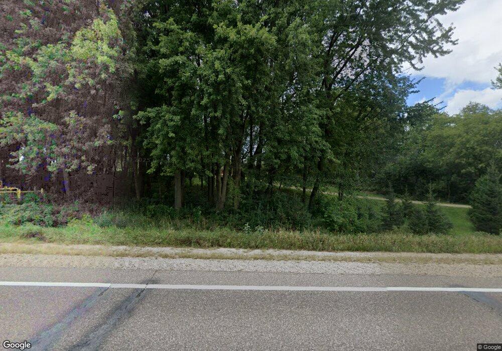
632 Highway 65 Roberts, WI 54023
Warren NeighborhoodEstimated Value: $359,000 - $606,000
4
Beds
1
Bath
--
Sq Ft
3.84
Acres
About This Home
This home is located at 632 Highway 65, Roberts, WI 54023 and is currently estimated at $431,235. 632 Highway 65 is a home located in St. Croix County with nearby schools including Saint Croix Central Elementary School, Saint Croix Central Middle School, and St. Croix Central High School.
Ownership History
Date
Name
Owned For
Owner Type
Purchase Details
Closed on
May 9, 2011
Sold by
Federal National Mortgage Association
Bought by
Shewczyk Theresa J
Current Estimated Value
Purchase Details
Closed on
May 3, 2010
Sold by
Senrick Joel W and Senrick Jamie M
Bought by
Federal National Mortgage Association
Purchase Details
Closed on
Jan 2, 2007
Sold by
River Bank Exchange Lcl
Bought by
Crestview Properties Llc
Home Financials for this Owner
Home Financials are based on the most recent Mortgage that was taken out on this home.
Original Mortgage
$160,000
Interest Rate
6.21%
Mortgage Type
New Conventional
Create a Home Valuation Report for This Property
The Home Valuation Report is an in-depth analysis detailing your home's value as well as a comparison with similar homes in the area
Home Values in the Area
Average Home Value in this Area
Purchase History
| Date | Buyer | Sale Price | Title Company |
|---|---|---|---|
| Shewczyk Theresa J | -- | Portage County Title Llc | |
| Federal National Mortgage Association | $177,999 | None Available | |
| Crestview Properties Llc | $200,000 | None Available |
Source: Public Records
Mortgage History
| Date | Status | Borrower | Loan Amount |
|---|---|---|---|
| Previous Owner | Crestview Properties Llc | $160,000 |
Source: Public Records
Tax History Compared to Growth
Tax History
| Year | Tax Paid | Tax Assessment Tax Assessment Total Assessment is a certain percentage of the fair market value that is determined by local assessors to be the total taxable value of land and additions on the property. | Land | Improvement |
|---|---|---|---|---|
| 2024 | $31 | $298,700 | $122,600 | $176,100 |
| 2023 | $2,807 | $183,800 | $77,900 | $105,900 |
| 2022 | $2,579 | $183,800 | $77,900 | $105,900 |
| 2021 | $2,659 | $183,800 | $77,900 | $105,900 |
| 2020 | $2,536 | $183,800 | $77,900 | $105,900 |
| 2019 | $2,418 | $183,800 | $77,900 | $105,900 |
| 2018 | $2,497 | $183,800 | $77,900 | $105,900 |
| 2017 | $2,640 | $140,900 | $46,200 | $94,700 |
| 2016 | $2,640 | $140,900 | $46,200 | $94,700 |
| 2015 | $2,355 | $140,900 | $46,200 | $94,700 |
| 2014 | $2,336 | $140,900 | $46,200 | $94,700 |
| 2013 | $2,233 | $140,900 | $46,200 | $94,700 |
Source: Public Records
Map
Nearby Homes
- 643 100th (Lot 4) St
- 642 Franklin St
- 640 Franklin St
- 632 Franklin St
- 630 Franklin St
- 628 Franklin St
- 621 Field Point St
- 617 Field Point St
- 615 Field Point St
- 613 Field Point St
- 610 Field Point St
- 603 S Division St
- 607 Field Point St
- 601 S Division St
- XXXX 100th Street St
- 603 Field Point St
- TBD Lot 10 65th Ave
- 112 W Brewer St
- TBD Coulee Trail
- 534 County Road Ss
