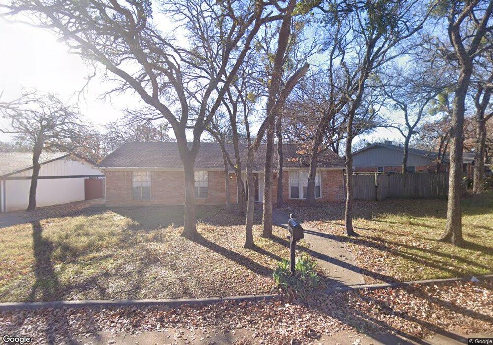
632 Kentwood Cir Bedford, TX 76021
Estimated Value: $342,329 - $363,000
3
Beds
2
Baths
1,859
Sq Ft
$188/Sq Ft
Est. Value
About This Home
This home is located at 632 Kentwood Cir, Bedford, TX 76021 and is currently estimated at $350,332, approximately $188 per square foot. 632 Kentwood Cir is a home located in Tarrant County with nearby schools including Shady Brook Elementary School, Bedford Junior High School, and L.D. Bell High School.
Ownership History
Date
Name
Owned For
Owner Type
Purchase Details
Closed on
Jan 15, 2013
Sold by
Larson Teressa
Bought by
2012 C Property Holdings Llc
Current Estimated Value
Purchase Details
Closed on
Oct 11, 2002
Sold by
Carr Mary V
Bought by
Larson Teresa
Home Financials for this Owner
Home Financials are based on the most recent Mortgage that was taken out on this home.
Original Mortgage
$76,000
Interest Rate
7%
Create a Home Valuation Report for This Property
The Home Valuation Report is an in-depth analysis detailing your home's value as well as a comparison with similar homes in the area
Home Values in the Area
Average Home Value in this Area
Purchase History
| Date | Buyer | Sale Price | Title Company |
|---|---|---|---|
| 2012 C Property Holdings Llc | $93,500 | None Available | |
| Larson Teresa | -- | Landamerica American Title C |
Source: Public Records
Mortgage History
| Date | Status | Borrower | Loan Amount |
|---|---|---|---|
| Previous Owner | Larson Teresa | $76,000 | |
| Closed | Larson Teresa | $19,000 |
Source: Public Records
Tax History Compared to Growth
Tax History
| Year | Tax Paid | Tax Assessment Tax Assessment Total Assessment is a certain percentage of the fair market value that is determined by local assessors to be the total taxable value of land and additions on the property. | Land | Improvement |
|---|---|---|---|---|
| 2025 | $4,030 | $173,182 | $60,000 | $113,182 |
| 2024 | $4,030 | $230,476 | $70,000 | $160,476 |
| 2023 | $4,582 | $238,881 | $60,000 | $178,881 |
| 2022 | $4,148 | $189,910 | $60,000 | $129,910 |
| 2021 | $4,474 | $189,910 | $60,000 | $129,910 |
| 2020 | $4,986 | $209,689 | $60,000 | $149,689 |
| 2019 | $5,094 | $209,689 | $60,000 | $149,689 |
| 2018 | $4,532 | $186,534 | $60,000 | $126,534 |
| 2017 | $4,941 | $204,244 | $19,000 | $185,244 |
| 2016 | $3,749 | $154,957 | $19,000 | $135,957 |
| 2015 | $2,348 | $93,500 | $19,500 | $74,000 |
| 2014 | $2,348 | $120,200 | $19,500 | $100,700 |
Source: Public Records
Map
Nearby Homes
- 2116 Tamworth Ct
- 93 Regents Park
- 140 Stonegate Ct
- 258 Somerset Terrace
- 345 Somerset Cir
- 2420 Stonegate Dr N
- 2436 Brookgreen Ct
- 1740 Brown Trail
- 2225 Shady Brook Dr
- 817 Shady Lake Dr
- 49 Coffee Tavern Rd
- 1732 Jeannie Ln
- 2317 Shady Grove Dr
- 124 Jeannie Ct
- 113 Sunnyvale Terrace
- 121 Kay Ct
- 100 Hillview Ct
- 2501 Shady Grove Dr
- 18 Park Ln
- 6 Park Ln
- 700 Kentwood Cir
- 624 Kentwood Cir
- 709 Queens Ct
- 701 Kentwood Cir
- 633 Kentwood Cir
- 612 Kentwood Cir
- 704 Kentwood Cir
- 705 Queens Ct
- 713 Queens Ct
- 629 Kentwood Cir
- 705 Kentwood Cir
- 724 Kentwood Cir
- 608 Kentwood Cir
- 709 Kentwood Cir
- 621 Kentwood Cir
- 617 Kentwood Cir
- 717 Queens Ct
- 625 Kentwood Cir
- 704 Saddlebrook Dr S
- 701 Queens Way