632 Lancaster Ct Unit 555 Downingtown, PA 19335
Estimated Value: $315,539 - $333,000
3
Beds
4
Baths
1,480
Sq Ft
$221/Sq Ft
Est. Value
About This Home
This home is located at 632 Lancaster Ct Unit 555, Downingtown, PA 19335 and is currently estimated at $326,635, approximately $220 per square foot. 632 Lancaster Ct Unit 555 is a home located in Chester County with nearby schools including Reeceville Elementary School, Coatesville Intermediate High School, and Coatesville Area Senior High School.
Ownership History
Date
Name
Owned For
Owner Type
Purchase Details
Closed on
Sep 27, 2006
Sold by
Millar Kevin J and Millar Dorice M
Bought by
Nardoni Edda
Current Estimated Value
Home Financials for this Owner
Home Financials are based on the most recent Mortgage that was taken out on this home.
Original Mortgage
$152,800
Outstanding Balance
$91,581
Interest Rate
6.54%
Mortgage Type
Purchase Money Mortgage
Estimated Equity
$235,054
Purchase Details
Closed on
Aug 24, 1994
Sold by
Orr Michael D and Orr Bonnie M
Bought by
Millar Kevin J and Millar Dorice M
Home Financials for this Owner
Home Financials are based on the most recent Mortgage that was taken out on this home.
Original Mortgage
$99,800
Interest Rate
8.54%
Create a Home Valuation Report for This Property
The Home Valuation Report is an in-depth analysis detailing your home's value as well as a comparison with similar homes in the area
Home Values in the Area
Average Home Value in this Area
Purchase History
| Date | Buyer | Sale Price | Title Company |
|---|---|---|---|
| Nardoni Edda | $191,000 | None Available | |
| Millar Kevin J | $99,900 | -- |
Source: Public Records
Mortgage History
| Date | Status | Borrower | Loan Amount |
|---|---|---|---|
| Open | Nardoni Edda | $152,800 | |
| Previous Owner | Millar Kevin J | $99,800 |
Source: Public Records
Tax History Compared to Growth
Tax History
| Year | Tax Paid | Tax Assessment Tax Assessment Total Assessment is a certain percentage of the fair market value that is determined by local assessors to be the total taxable value of land and additions on the property. | Land | Improvement |
|---|---|---|---|---|
| 2025 | $4,419 | $85,020 | $18,830 | $66,190 |
| 2024 | $4,419 | $85,020 | $18,830 | $66,190 |
| 2023 | $4,327 | $85,020 | $18,830 | $66,190 |
| 2022 | $4,109 | $85,020 | $18,830 | $66,190 |
| 2021 | $3,980 | $85,020 | $18,830 | $66,190 |
| 2020 | $3,913 | $85,020 | $18,830 | $66,190 |
| 2019 | $3,841 | $85,020 | $18,830 | $66,190 |
| 2018 | $3,634 | $85,020 | $18,830 | $66,190 |
| 2017 | $3,510 | $85,020 | $18,830 | $66,190 |
| 2016 | $2,596 | $85,020 | $18,830 | $66,190 |
| 2015 | $2,596 | $85,020 | $18,830 | $66,190 |
| 2014 | $2,596 | $85,020 | $18,830 | $66,190 |
Source: Public Records
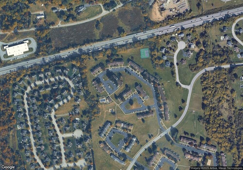
Map
Nearby Homes
- 340 Carlyn Ct
- 320 Carlyn Ct
- 23 Carlson Way
- 4701 Edges Mill Rd
- 2502 Baydon Ln
- 2651 Tisbury Ln
- 1301 S Red Maple Way
- 1700 Hydrangea Way
- 1440 Hydrangea Way
- 616 Bondsville Rd
- 1455 N Red Maple Way Unit 89
- 3523 Humpton Rd
- 4 Pierce Ln
- 27 Fox Farm Ln
- 60 Hilltop Dr
- 527 W Lancaster Ave
- 390 Mary St
- 339 William St
- 334 Mary St
- 3546 Lincoln Hwy
- 634 Lancaster Ct Unit 556
- 636 Lancaster Ct Unit 557
- 638 Lancaster Ct Unit 558
- 640 Lancaster Ct Unit 559
- 642 Lancaster Ct Unit 560
- 722 Springfield Ct
- 724 Springfield Ct Unit 579
- 720 Springfield Ct Unit 581
- 726 Springfield Ct Unit 578
- 728 Springfield Ct Unit 577
- 730 Springfield Ct Unit 575
- 646 Lancaster Ct Unit 562
- 732 Springfield Ct Unit 575
- 734 Springfield Ct
- 736 Springfield Ct Unit 573
- 718 Springfield Ct Unit 582
- 716 Springfield Ct
- 714 Springfield Ct Unit 584
- 712 Springfield Ct Unit 585
- 710 Springfield Ct Unit 586