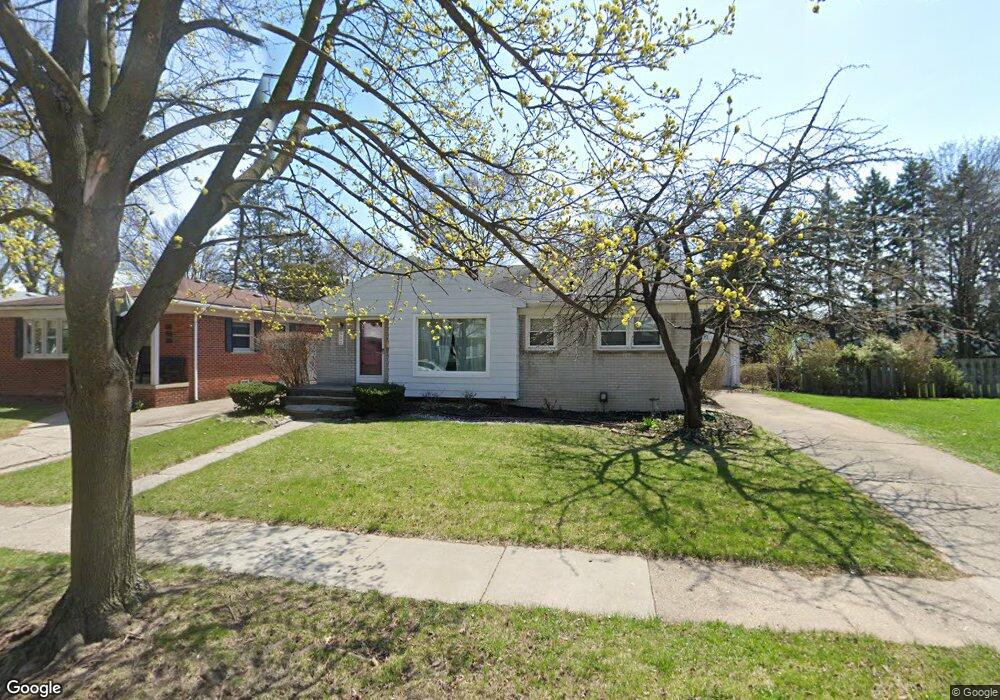
632 Lincoln Ave Clawson, MI 48017
Estimated Value: $282,000 - $338,000
4
Beds
2
Baths
999
Sq Ft
$310/Sq Ft
Est. Value
About This Home
This home is located at 632 Lincoln Ave, Clawson, MI 48017 and is currently estimated at $309,745, approximately $310 per square foot. 632 Lincoln Ave is a home located in Oakland County with nearby schools including Clawson High School, Guardian Angels School, and Bishop Foley Catholic High School.
Ownership History
Date
Name
Owned For
Owner Type
Purchase Details
Closed on
Feb 27, 2002
Sold by
Hansen Cheryl
Bought by
Boumediene Mostefa
Current Estimated Value
Home Financials for this Owner
Home Financials are based on the most recent Mortgage that was taken out on this home.
Original Mortgage
$25,600
Outstanding Balance
$10,551
Interest Rate
6.87%
Estimated Equity
$299,194
Purchase Details
Closed on
Nov 15, 2001
Sold by
Boumediene Mostefa
Bought by
Boumediene Cheryl
Purchase Details
Closed on
Jul 22, 1999
Sold by
Boumediene Cheryl A
Bought by
Boumediene Cheryl A
Create a Home Valuation Report for This Property
The Home Valuation Report is an in-depth analysis detailing your home's value as well as a comparison with similar homes in the area
Home Values in the Area
Average Home Value in this Area
Purchase History
| Date | Buyer | Sale Price | Title Company |
|---|---|---|---|
| Boumediene Mostefa | -- | -- | |
| Boumediene Cheryl | -- | -- | |
| Boumediene Cheryl A | -- | -- |
Source: Public Records
Mortgage History
| Date | Status | Borrower | Loan Amount |
|---|---|---|---|
| Open | Boumediene Mostefa | $25,600 |
Source: Public Records
Tax History Compared to Growth
Tax History
| Year | Tax Paid | Tax Assessment Tax Assessment Total Assessment is a certain percentage of the fair market value that is determined by local assessors to be the total taxable value of land and additions on the property. | Land | Improvement |
|---|---|---|---|---|
| 2024 | $3,215 | $131,160 | $0 | $0 |
| 2023 | $3,083 | $124,240 | $0 | $0 |
| 2022 | $3,108 | $112,320 | $0 | $0 |
| 2021 | $3,045 | $104,970 | $0 | $0 |
| 2020 | $2,949 | $100,100 | $0 | $0 |
| 2019 | $3,047 | $95,270 | $0 | $0 |
| 2018 | $3,025 | $93,960 | $0 | $0 |
| 2017 | $3,007 | $88,810 | $0 | $0 |
| 2016 | $3,046 | $83,200 | $0 | $0 |
| 2015 | -- | $76,620 | $0 | $0 |
| 2014 | -- | $66,010 | $0 | $0 |
| 2011 | -- | $59,140 | $0 | $0 |
Source: Public Records
Map
Nearby Homes
- 769 Coolidge Ave
- 925 E 14 Mile Rd
- 940 Coolidge Ave
- 927 Goodale Ave
- 151 Fisher Ct
- 1101 Donald Ave
- 625 Whitcomb Ave
- 31 Walper Ave
- 1612 Genesee Ave
- 359 Sheffield Dr
- 42 Gladwin Ave
- 104 Charlevoix St
- 25 Lyons Dr
- 321 N Washington Ave
- 325 Lyons Dr
- 1322 Whitcomb Ave
- 1108 Millard Ave
- 216 Woodside Rd
- 1023 Amelia Ave
- 501 E Sunnybrook Dr
- 612 Lincoln Ave
- 642 Lincoln Ave
- 654 Lincoln Ave
- 662 Lincoln Ave
- 629 Bowers St
- 619 Bowers St
- 631 Bowers St
- 668 Lincoln Ave
- 596 Lincoln Ave
- 651 Bowers St
- 611 Bowers St
- 605 Bowers St
- 676 Lincoln Ave
- 663 Lincoln Ave
- 659 Bowers St
- 595 Bowers St
- 588 Lincoln Ave
- 686 Lincoln Ave
- 667 Bowers St
- 643 Lincoln Ave