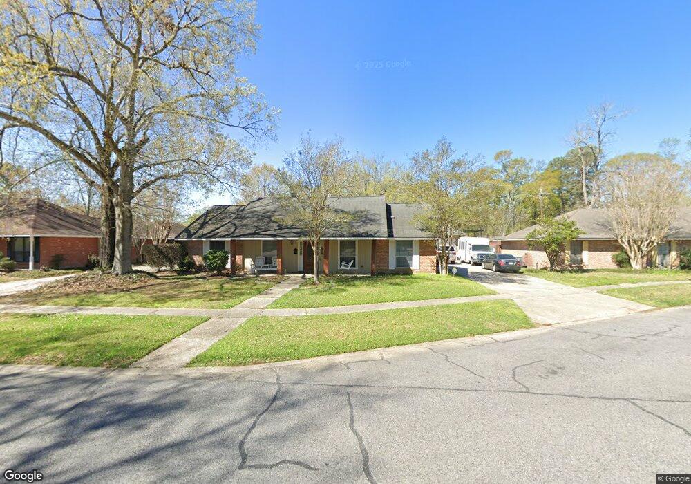
632 N Allyson Dr Baton Rouge, LA 70815
Broadmoor/Sherwood NeighborhoodEstimated Value: $258,907 - $305,000
4
Beds
3
Baths
2,176
Sq Ft
$127/Sq Ft
Est. Value
About This Home
This home is located at 632 N Allyson Dr, Baton Rouge, LA 70815 and is currently estimated at $275,977, approximately $126 per square foot. 632 N Allyson Dr is a home located in East Baton Rouge Parish with nearby schools including Broadmoor Elementary School, Southeast Middle School, and Broadmoor Senior High School.
Ownership History
Date
Name
Owned For
Owner Type
Purchase Details
Closed on
Oct 20, 2016
Sold by
Nola Jennifer Denise and Nola Paul Michael
Bought by
Scott Reginald Djuan and Scott Beverly Marie
Current Estimated Value
Home Financials for this Owner
Home Financials are based on the most recent Mortgage that was taken out on this home.
Original Mortgage
$191,700
Outstanding Balance
$153,586
Interest Rate
3.44%
Mortgage Type
New Conventional
Estimated Equity
$122,391
Create a Home Valuation Report for This Property
The Home Valuation Report is an in-depth analysis detailing your home's value as well as a comparison with similar homes in the area
Home Values in the Area
Average Home Value in this Area
Purchase History
| Date | Buyer | Sale Price | Title Company |
|---|---|---|---|
| Scott Reginald Djuan | $213,000 | Title Stream Llc |
Source: Public Records
Mortgage History
| Date | Status | Borrower | Loan Amount |
|---|---|---|---|
| Open | Scott Reginald Djuan | $191,700 |
Source: Public Records
Tax History Compared to Growth
Tax History
| Year | Tax Paid | Tax Assessment Tax Assessment Total Assessment is a certain percentage of the fair market value that is determined by local assessors to be the total taxable value of land and additions on the property. | Land | Improvement |
|---|---|---|---|---|
| 2024 | $2,223 | $24,860 | $2,000 | $22,860 |
| 2023 | $2,223 | $21,300 | $2,000 | $19,300 |
| 2022 | $2,643 | $21,300 | $2,000 | $19,300 |
| 2021 | $2,585 | $21,300 | $2,000 | $19,300 |
| 2020 | $2,569 | $21,300 | $2,000 | $19,300 |
| 2019 | $2,680 | $21,300 | $2,000 | $19,300 |
| 2018 | $2,648 | $21,300 | $2,000 | $19,300 |
| 2017 | $2,648 | $21,300 | $2,000 | $19,300 |
| 2016 | $1,807 | $21,300 | $2,000 | $19,300 |
| 2015 | $1,500 | $18,650 | $2,000 | $16,650 |
| 2014 | $1,495 | $18,650 | $2,000 | $16,650 |
| 2013 | -- | $18,650 | $2,000 | $16,650 |
Source: Public Records
Map
Nearby Homes
- 10173 Parkview Dr
- 635 Marilyn Dr
- 10431 Goodwood Blvd
- 10588 Goodwood Blvd
- 279 Marilyn Dr Unit 12
- 279 Marilyn Dr Unit 17
- 155 Marilyn Dr Unit 44A
- 1124 Sharp Rd
- 10716 Shermoor Dr
- 9820 Van Dr
- 155 46C Marilyn Dr Unit 46-B
- 155 46C Marilyn Dr Unit 46-F
- 155 46C Marilyn Dr Unit 46-C
- 10555 Barbara St
- 10724 Mollylea Dr
- 437 Cora Dr
- 220 Mcgehee Dr
- 9555 Goodwood Blvd
- 11019 Goodwood Blvd
- 10656 Rondo Ave
- 642 N Allyson Dr
- 623 Lonita St
- 623 Lonita St
- 645 Lonita St
- 641 N Allyson Dr
- 651 N Allyson Dr
- 671 Lonita St
- 631 N Allyson Dr
- 631 N Allyson Dr
- 611 N Allyson Dr
- 661 N Allyson Dr
- 662 N Allyson Dr
- 555 Lonita St
- 621 N Allyson Dr
- 697 Lonita St
- 714 N Allyson Dr
- 622 Lonita St
- 644 Lonita St
- 644 Lonita St
- 545 Lonita St