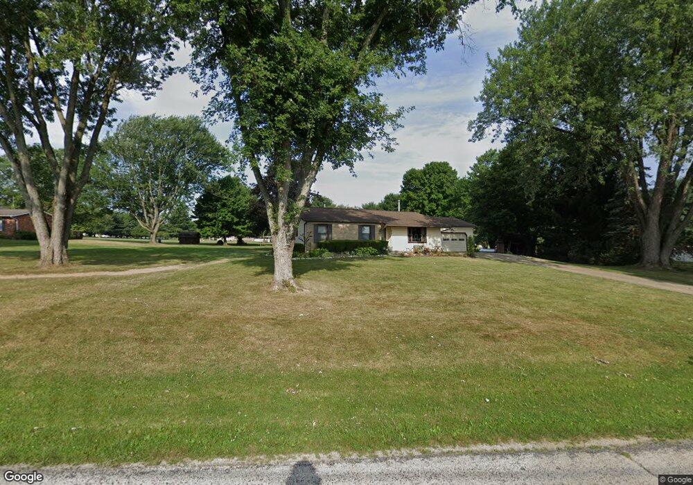
632 N Smyser Rd Wooster, OH 44691
Estimated Value: $266,727 - $284,000
3
Beds
2
Baths
1,336
Sq Ft
$206/Sq Ft
Est. Value
About This Home
This home is located at 632 N Smyser Rd, Wooster, OH 44691 and is currently estimated at $274,932, approximately $205 per square foot. 632 N Smyser Rd is a home located in Wayne County with nearby schools including Northwestern Elementary School, Northwestern Middle School, and Northwestern High School.
Ownership History
Date
Name
Owned For
Owner Type
Purchase Details
Closed on
Mar 26, 2007
Sold by
Zimmerman Ken R
Bought by
Vizzo Joshua D and Vizzo Rachel M
Current Estimated Value
Home Financials for this Owner
Home Financials are based on the most recent Mortgage that was taken out on this home.
Original Mortgage
$127,988
Outstanding Balance
$78,064
Interest Rate
6.31%
Mortgage Type
FHA
Estimated Equity
$196,868
Create a Home Valuation Report for This Property
The Home Valuation Report is an in-depth analysis detailing your home's value as well as a comparison with similar homes in the area
Home Values in the Area
Average Home Value in this Area
Purchase History
| Date | Buyer | Sale Price | Title Company |
|---|---|---|---|
| Vizzo Joshua D | $129,000 | None Available |
Source: Public Records
Mortgage History
| Date | Status | Borrower | Loan Amount |
|---|---|---|---|
| Open | Vizzo Joshua D | $127,988 |
Source: Public Records
Tax History Compared to Growth
Tax History
| Year | Tax Paid | Tax Assessment Tax Assessment Total Assessment is a certain percentage of the fair market value that is determined by local assessors to be the total taxable value of land and additions on the property. | Land | Improvement |
|---|---|---|---|---|
| 2024 | $2,468 | $70,970 | $12,800 | $58,170 |
| 2023 | $2,468 | $70,970 | $12,800 | $58,170 |
| 2022 | $2,035 | $52,970 | $9,560 | $43,410 |
| 2021 | $2,039 | $52,970 | $9,560 | $43,410 |
| 2020 | $2,064 | $52,970 | $9,560 | $43,410 |
| 2019 | $1,743 | $41,880 | $8,430 | $33,450 |
| 2018 | $1,705 | $41,880 | $8,430 | $33,450 |
| 2017 | $1,597 | $41,880 | $8,430 | $33,450 |
| 2016 | $1,604 | $40,280 | $8,110 | $32,170 |
| 2015 | $1,503 | $40,280 | $8,110 | $32,170 |
| 2014 | $1,393 | $36,950 | $8,110 | $28,840 |
| 2013 | $1,640 | $42,370 | $8,710 | $33,660 |
Source: Public Records
Map
Nearby Homes
- 3125 Henderson Rd
- 3322 Aspen Dr
- Tupelo Plan at Clear Creek Run
- Hazel Plan at Clear Creek Run
- 1680 Carlin Trail
- 1633 Carlin Trail
- Aspen Plan at Clear Creek Run
- Spruce Plan at Clear Creek Run
- Cedar Plan at Clear Creek Run
- 3094 Briarwood Dr
- 1047 Ashwood Dr
- 0 Heyl Rd
- 0 Blachleyville Rd
- 1951 Saddle Brook Cir Unit 1951
- 2457 Barrington Way Unit 325
- 2457 Barrington Way Unit 327
- 2457 Barrington Way Unit 334
- 2618 Wetherington Ln Unit 202
- 2520 Barrington Way Unit 529
- 2447 Wetherington Ln Unit 109
- 574 N Smyser Rd
- 690 N Smyser Rd
- 637 N Smyser Rd
- 740 N Smyser Rd
- 683 N Smyser Rd
- 534 N Smyser Rd
- 507 N Smyser Rd
- 731 N Smyser Rd
- 4280 Silver Rd
- 796 N Smyser Rd
- 777 N Smyser Rd
- 852 N Smyser Rd
- 4300 Silver Rd
- 4340 Silver Rd
- 510 N Smyser Rd
- 4378 Silver Rd
- 4227 Silver Rd
- 4277 Silver Rd
- 4181 Silver Rd
- 4153 Silver Rd