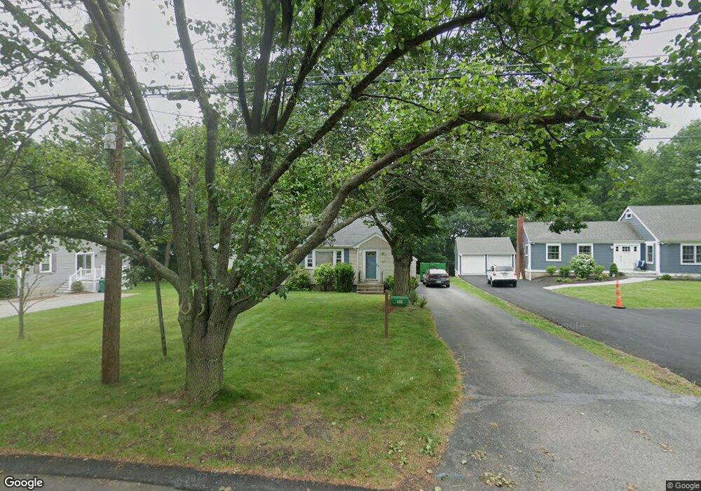
632 Neponset St Norwood, MA 02062
Estimated Value: $612,000 - $838,279
3
Beds
3
Baths
2,367
Sq Ft
$303/Sq Ft
Est. Value
About This Home
This home is located at 632 Neponset St, Norwood, MA 02062 and is currently estimated at $717,570, approximately $303 per square foot. 632 Neponset St is a home located in Norfolk County with nearby schools including Norwood High School, St Catherine Of Siena School, and Norwood Montessori School.
Ownership History
Date
Name
Owned For
Owner Type
Purchase Details
Closed on
Jun 10, 2025
Sold by
Daniels Rt and Daniels
Bought by
632 Neponset Street Llc
Current Estimated Value
Home Financials for this Owner
Home Financials are based on the most recent Mortgage that was taken out on this home.
Original Mortgage
$760,000
Outstanding Balance
$758,049
Interest Rate
6.81%
Mortgage Type
Purchase Money Mortgage
Estimated Equity
-$40,479
Create a Home Valuation Report for This Property
The Home Valuation Report is an in-depth analysis detailing your home's value as well as a comparison with similar homes in the area
Home Values in the Area
Average Home Value in this Area
Purchase History
| Date | Buyer | Sale Price | Title Company |
|---|---|---|---|
| 632 Neponset Street Llc | $600,000 | None Available | |
| 632 Neponset Street Llc | $600,000 | None Available |
Source: Public Records
Mortgage History
| Date | Status | Borrower | Loan Amount |
|---|---|---|---|
| Open | 632 Neponset Street Llc | $760,000 | |
| Closed | 632 Neponset Street Llc | $760,000 |
Source: Public Records
Tax History Compared to Growth
Tax History
| Year | Tax Paid | Tax Assessment Tax Assessment Total Assessment is a certain percentage of the fair market value that is determined by local assessors to be the total taxable value of land and additions on the property. | Land | Improvement |
|---|---|---|---|---|
| 2025 | $7,161 | $680,700 | $310,300 | $370,400 |
| 2024 | $7,123 | $680,300 | $310,300 | $370,000 |
| 2023 | $6,387 | $618,900 | $260,000 | $358,900 |
| 2022 | $6,219 | $578,500 | $227,500 | $351,000 |
| 2021 | $5,629 | $496,400 | $229,900 | $266,500 |
| 2020 | $5,373 | $481,900 | $221,300 | $260,600 |
| 2019 | $4,830 | $443,500 | $214,900 | $228,600 |
| 2018 | $4,523 | $407,800 | $204,700 | $203,100 |
| 2017 | $4,328 | $388,200 | $204,700 | $183,500 |
| 2016 | $4,229 | $380,300 | $204,700 | $175,600 |
| 2015 | $4,026 | $351,000 | $186,000 | $165,000 |
| 2014 | $3,996 | $345,100 | $185,600 | $159,500 |
Source: Public Records
Map
Nearby Homes
- 42 Queensboro Ct Unit 42
- 105 E Cross St
- 136 Azalea Dr
- 124 Juniper Dr
- 232 Rock St
- 132-134 Edgehill Rd
- 114 Neponset St
- 49 Railroad Ave
- 301 Neponset St Unit 25
- 794 Neponset St
- 22 Hillside Ave
- 1 Lenox St Unit 312
- 1 Lenox St Unit 115
- 68-70 Adams St
- 19-21
- 816 Neponset St
- 868 Washington St
- 0 Deerfield Rd
- 86 Hill St
- 785 Washington St Unit 207
- 624 Neponset St
- 640 Neponset St
- 622 Neponset St
- 646 Neponset St
- 633 Neponset St
- 618 Neponset St
- 618 Neponset St Unit 1
- 625 Neponset St
- 256 Ridgewood Dr
- 262 Ridgewood Dr
- 244 Ridgewood Dr
- 250 Ridgewood Dr
- 268 Ridgewood Dr
- 619 Neponset St
- 238 Ridgewood Dr
- 280 Ridgewood Dr
- 259 Ridgewood Dr
- 253 Ridgewood Dr
- 232 Ridgewood Dr
- 615 Neponset St